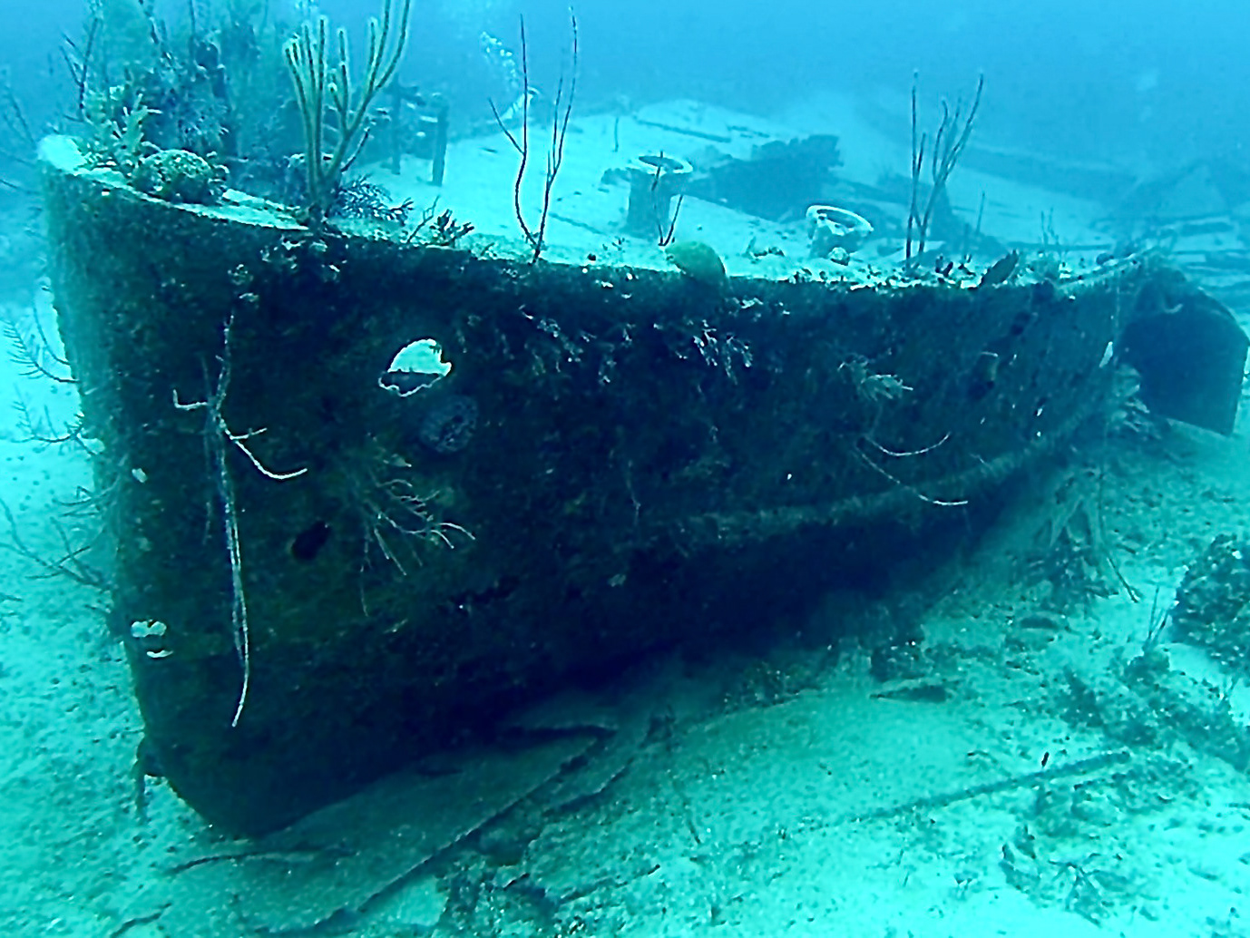
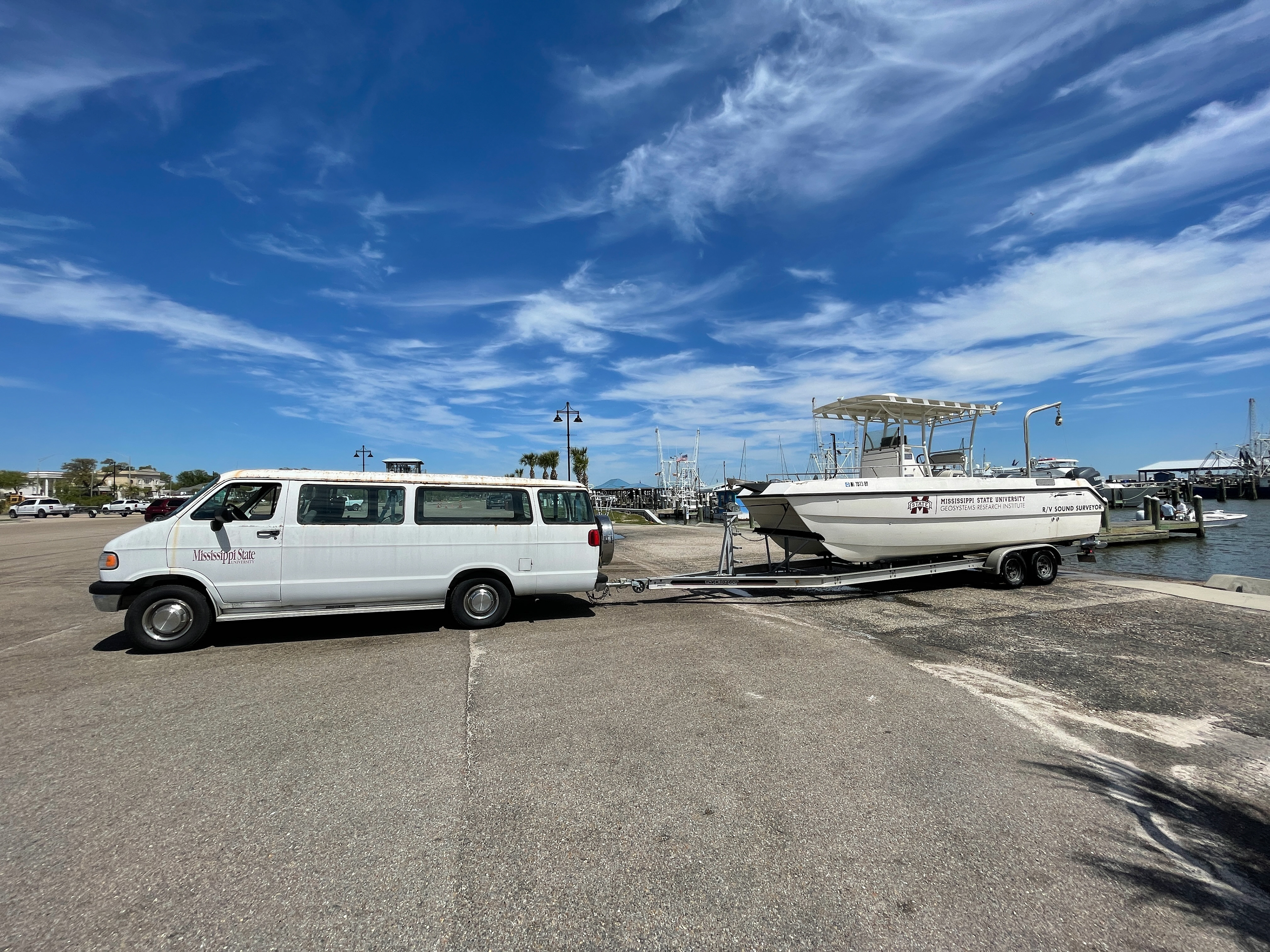
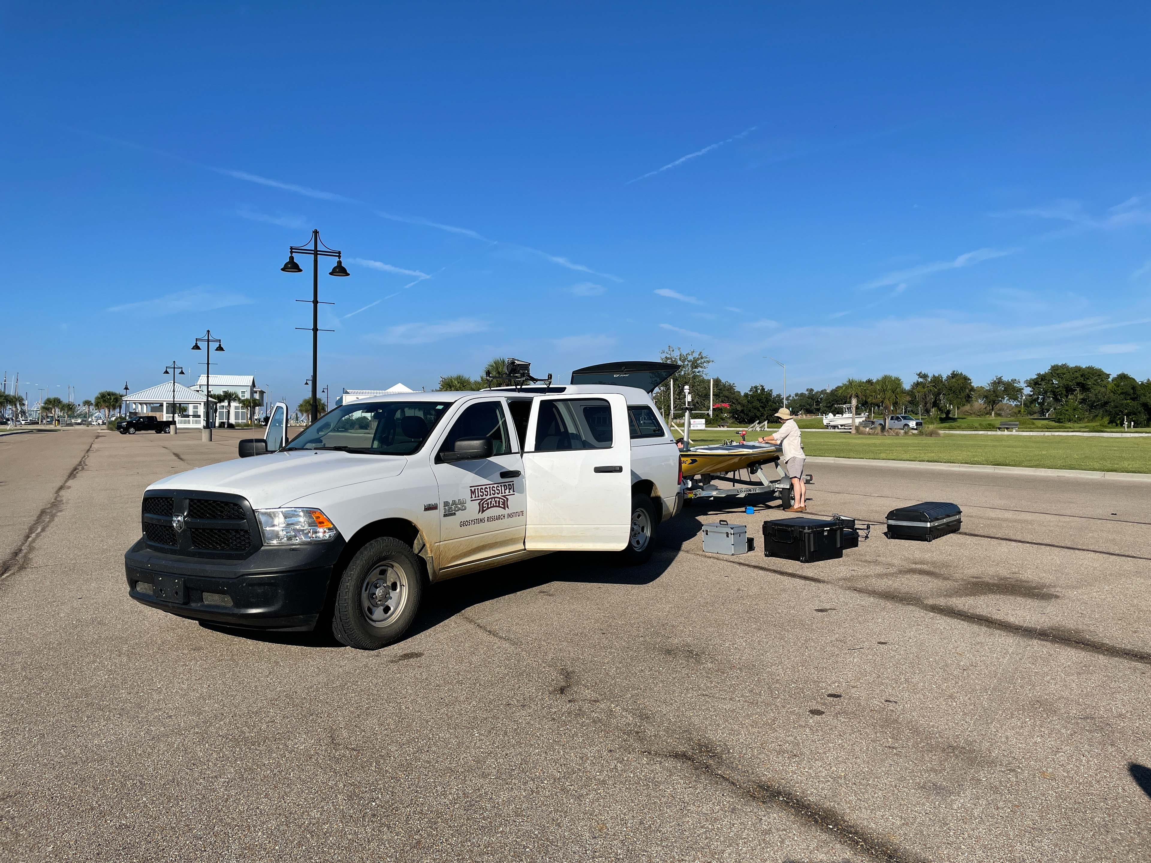
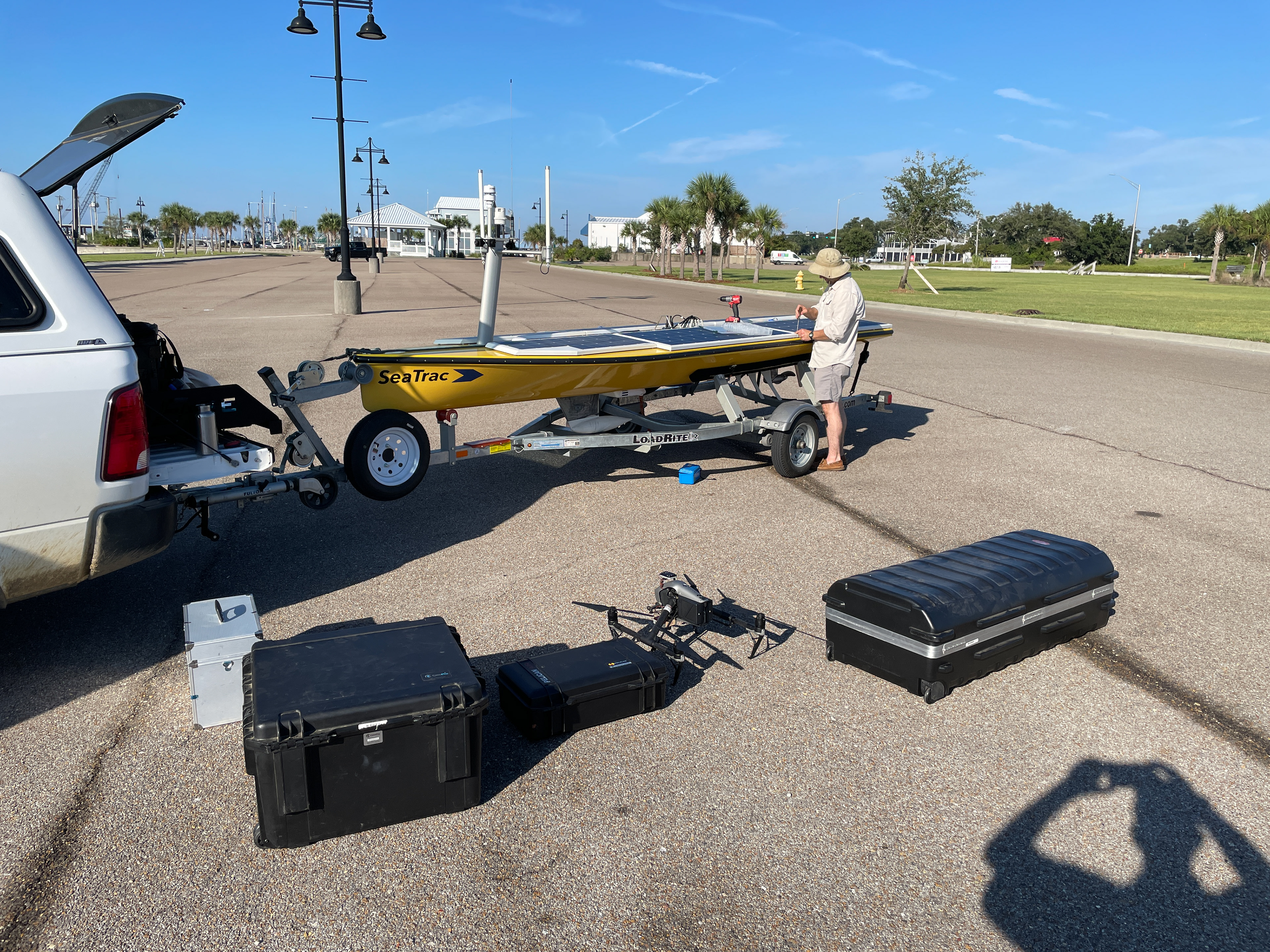
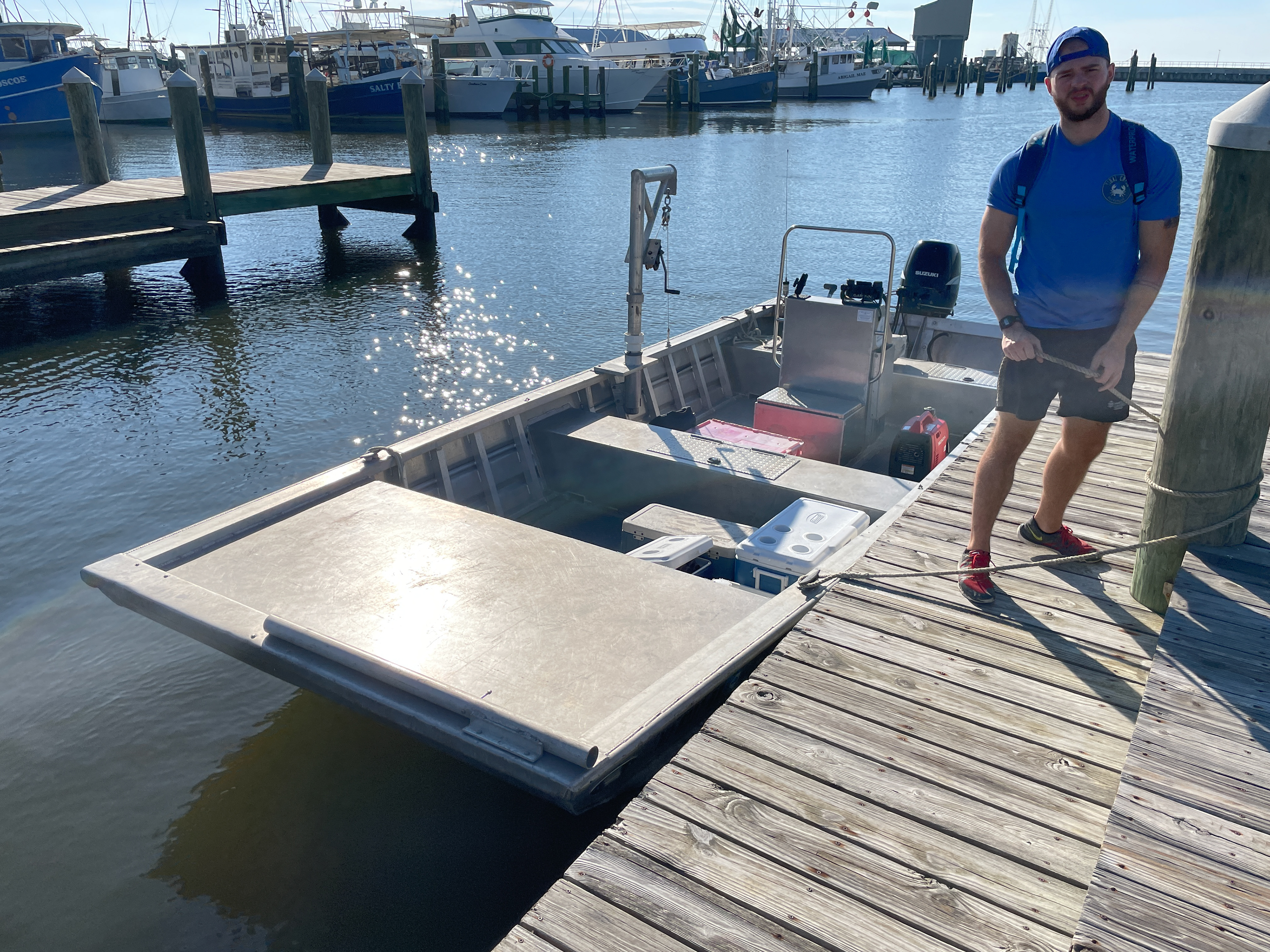
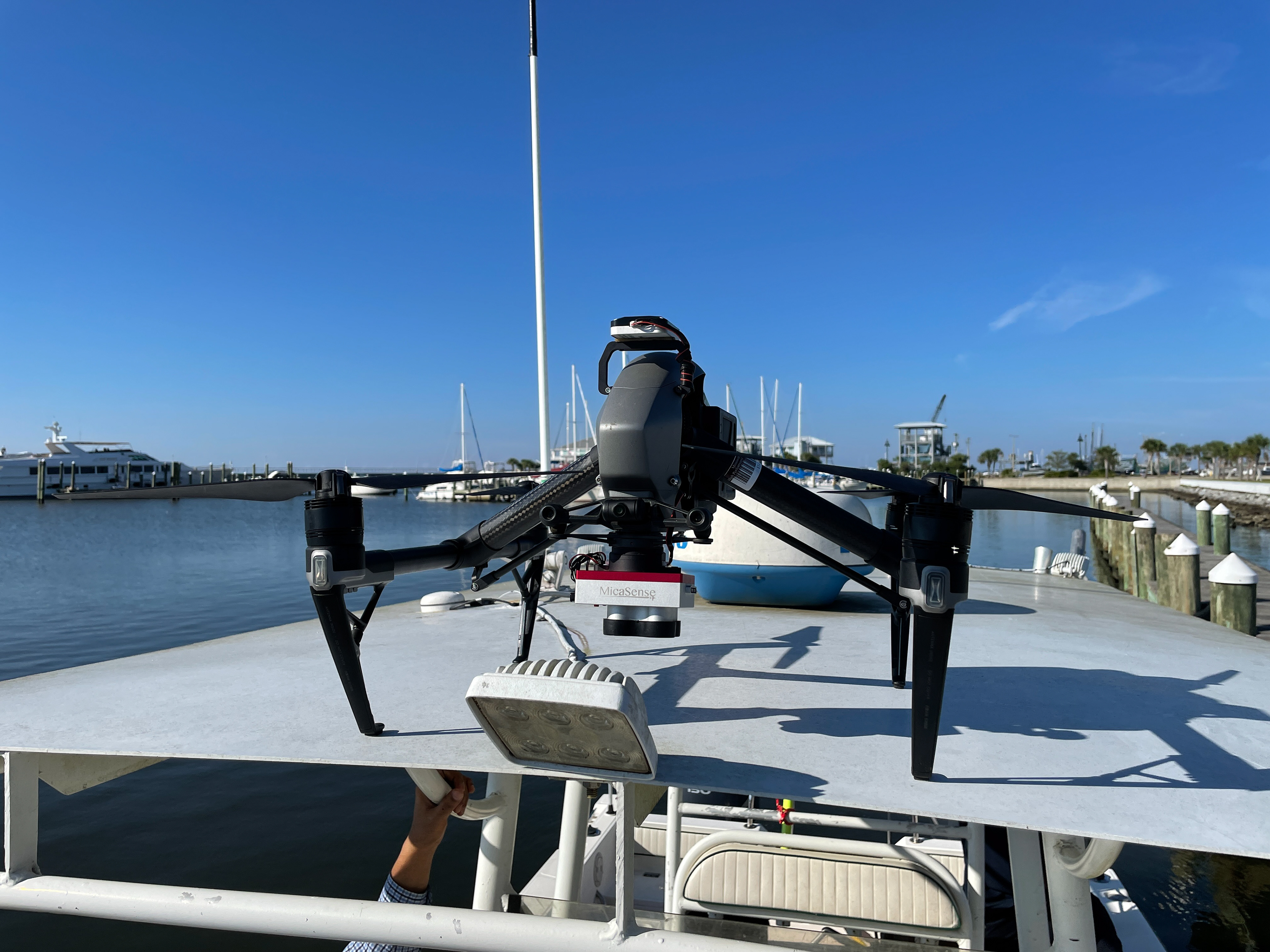
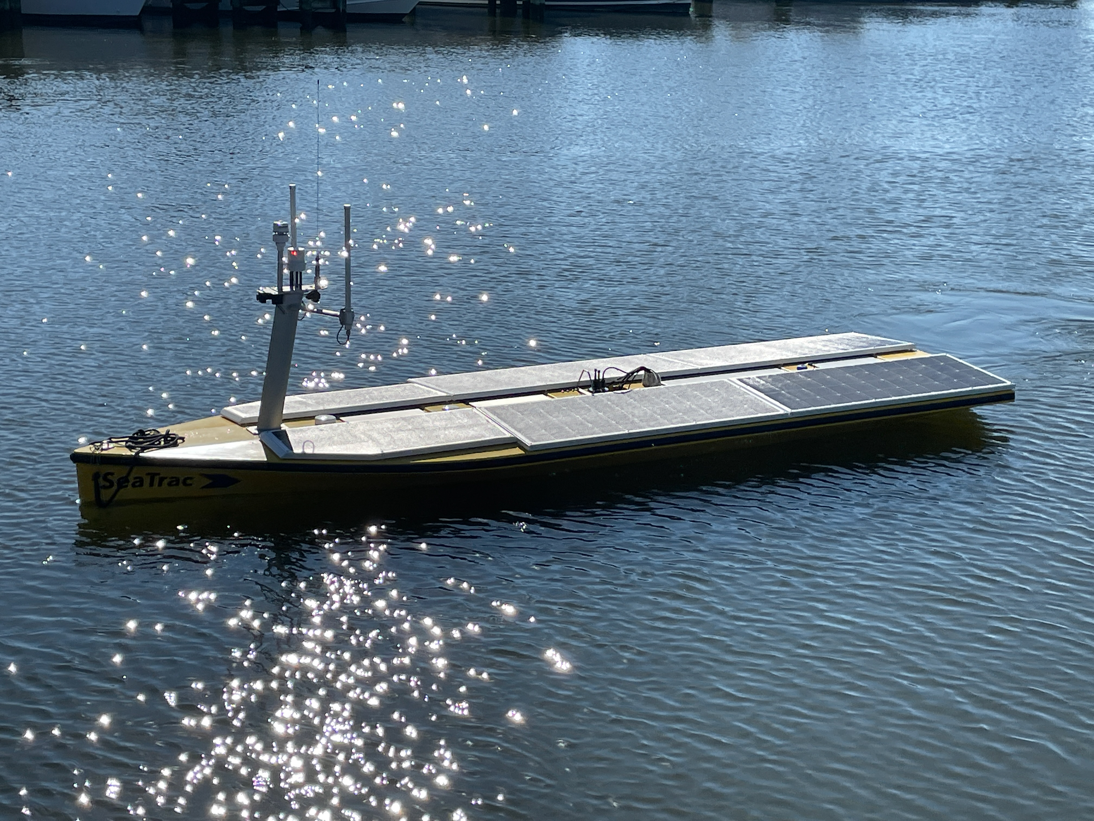
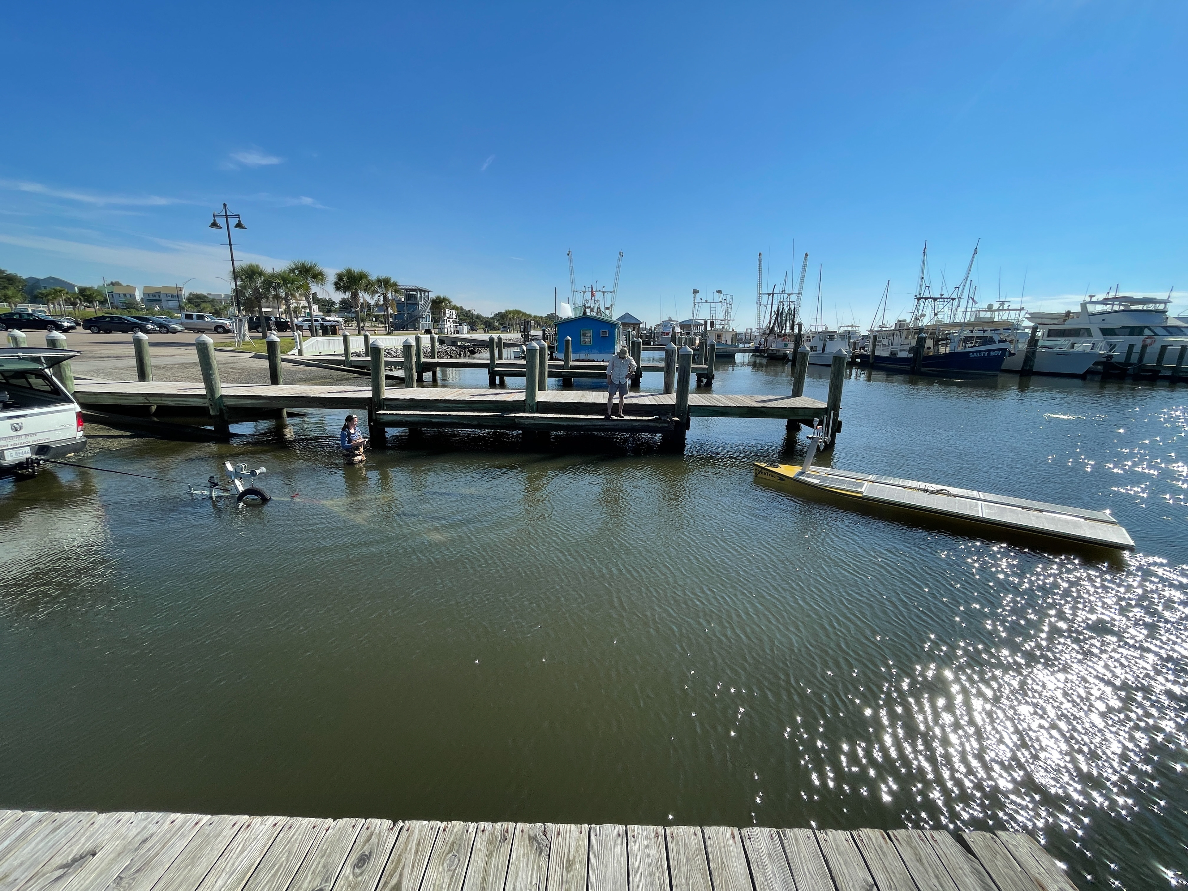
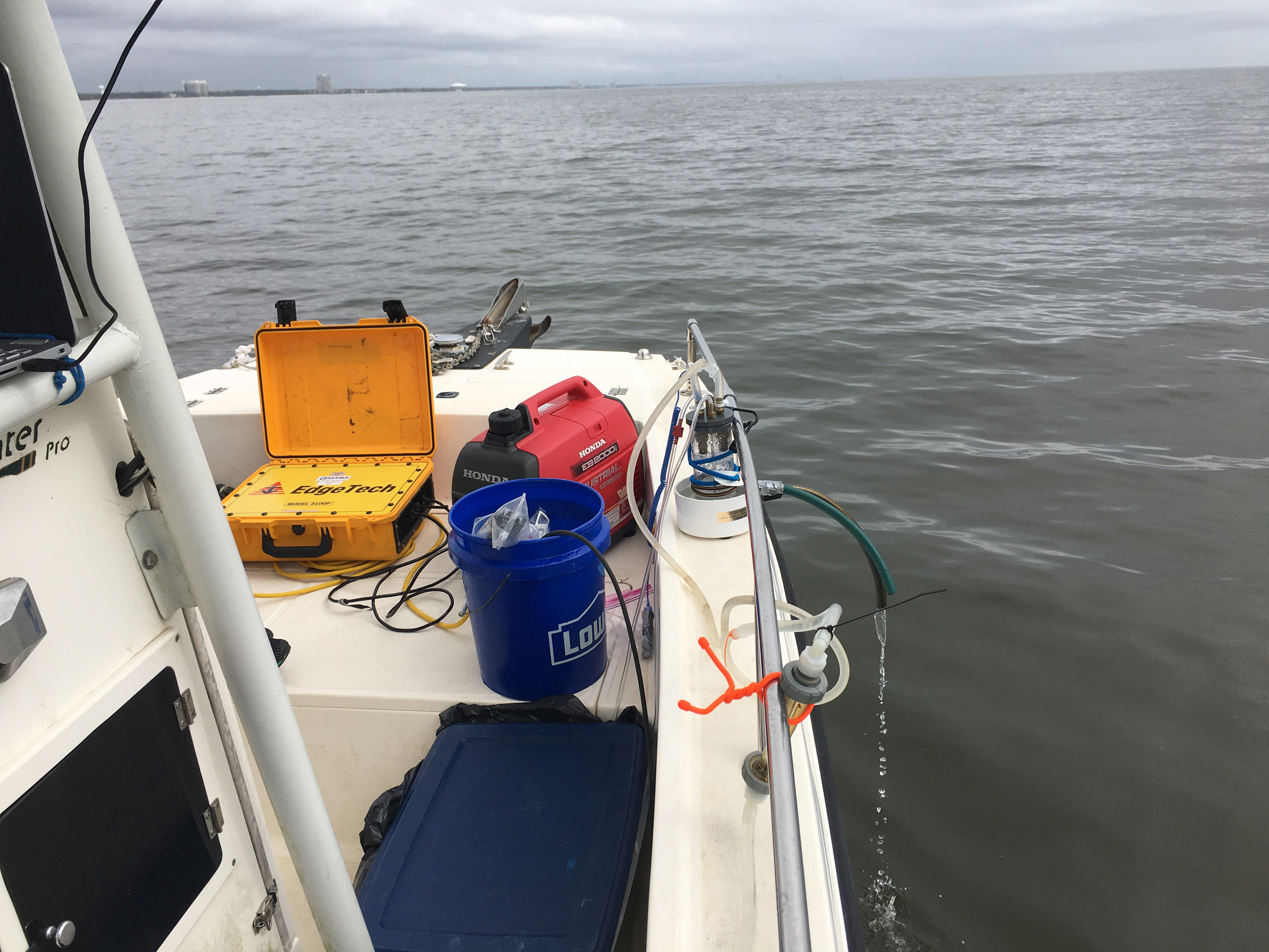
Immediately following the storms of the 2020 Hurricane Season, we began cataloging coastal erosion and bathymetry. The initial project took approximately 1 week and includes the deployment of Towed Side-scan and Sub-Bottom Sonar Profiling as well as Radon Surveys and Water Chemistry seeking buried ancient river channels that may have been exposed through wave action.

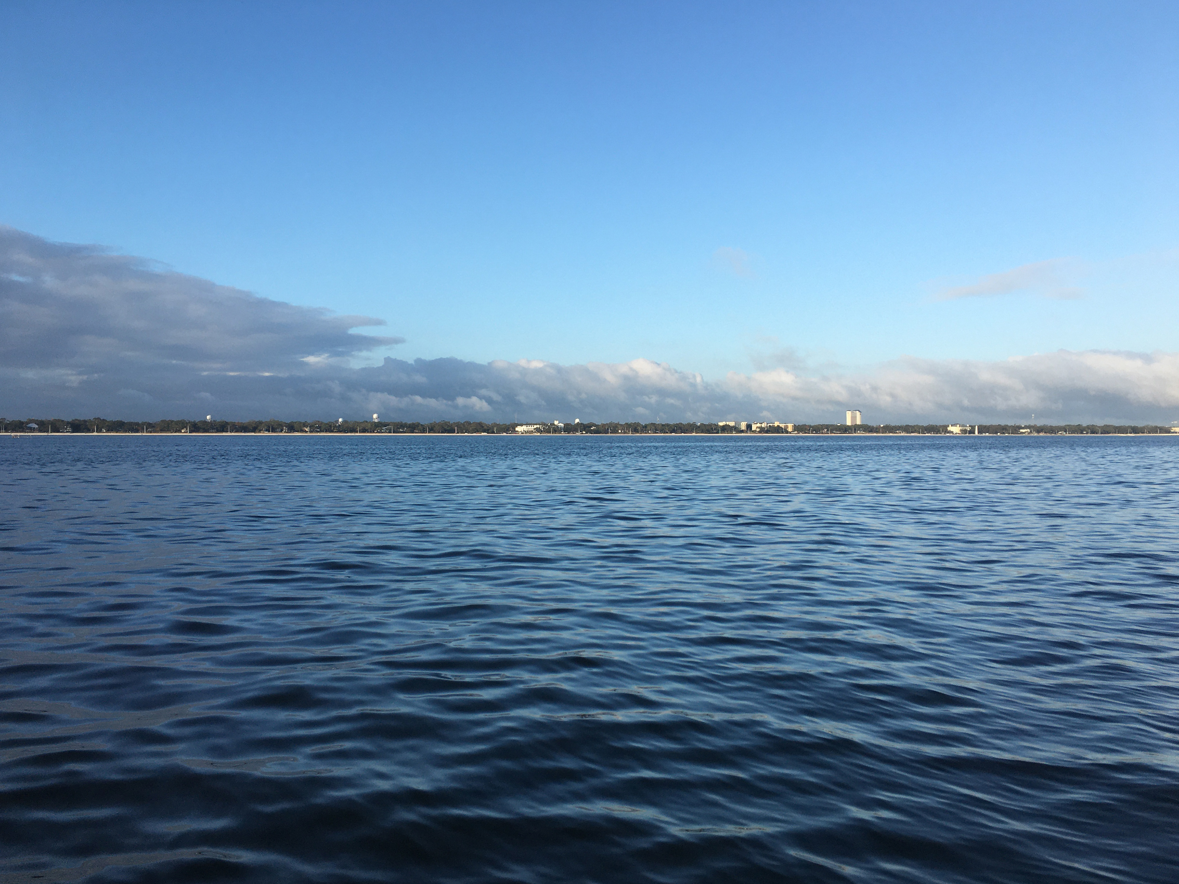
Biloxi
Deer Island
Deer Island
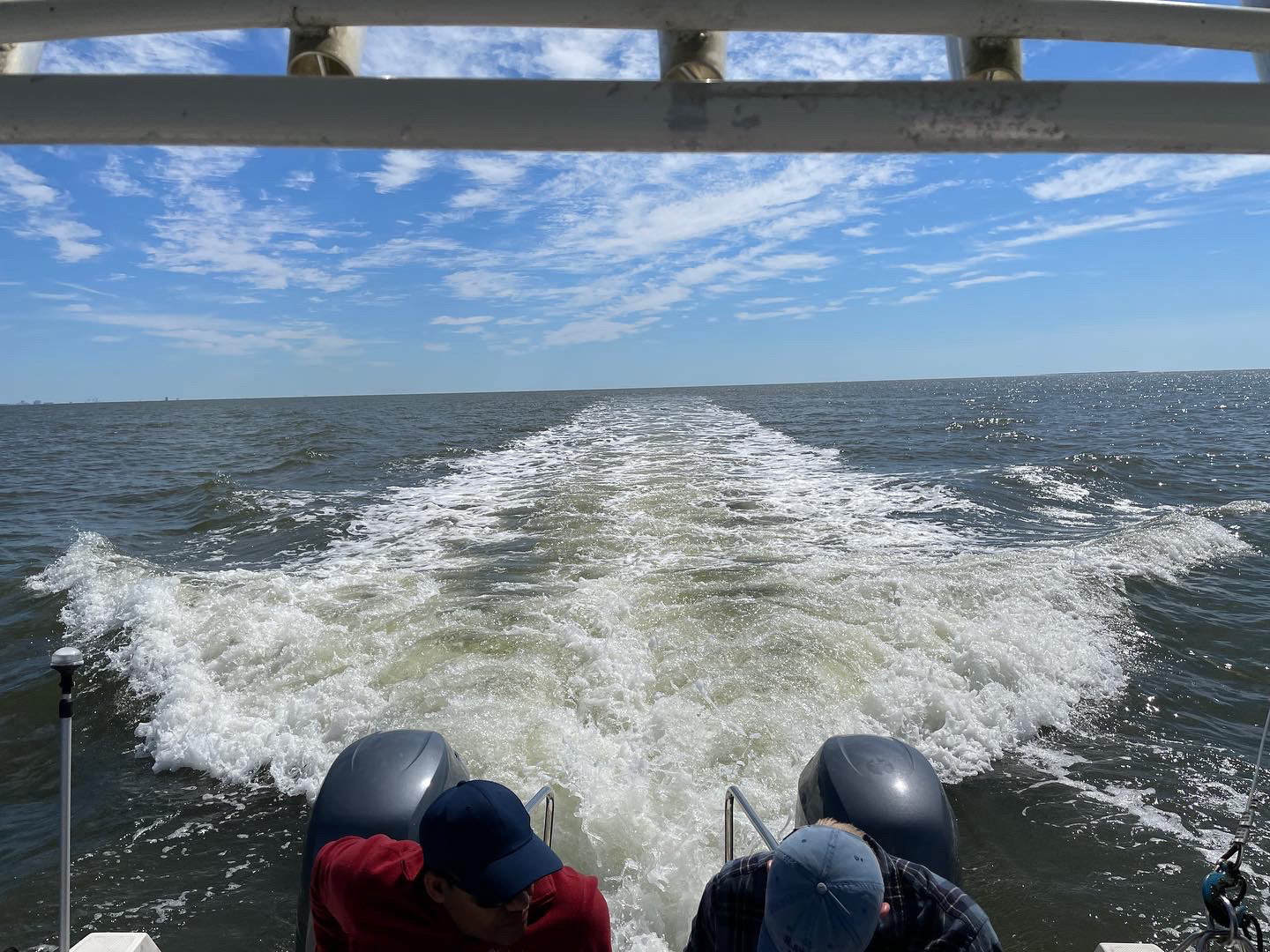
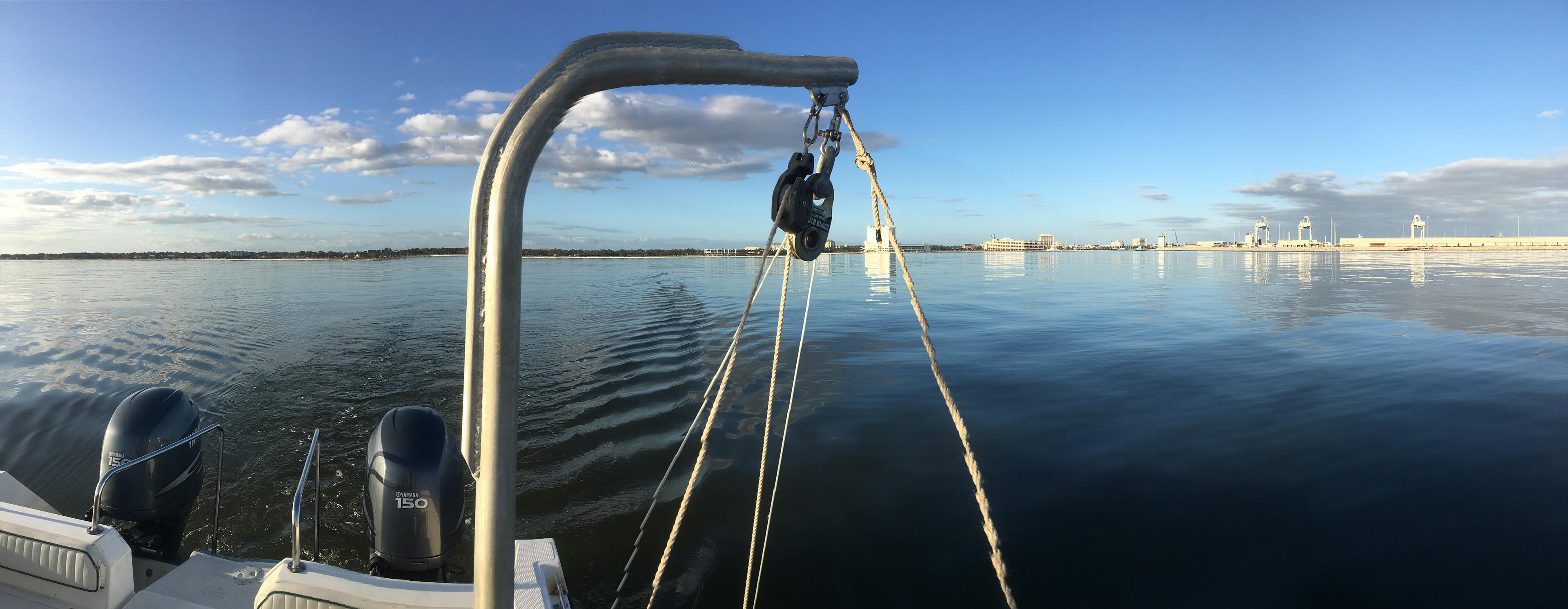
Towing along the MS Sound
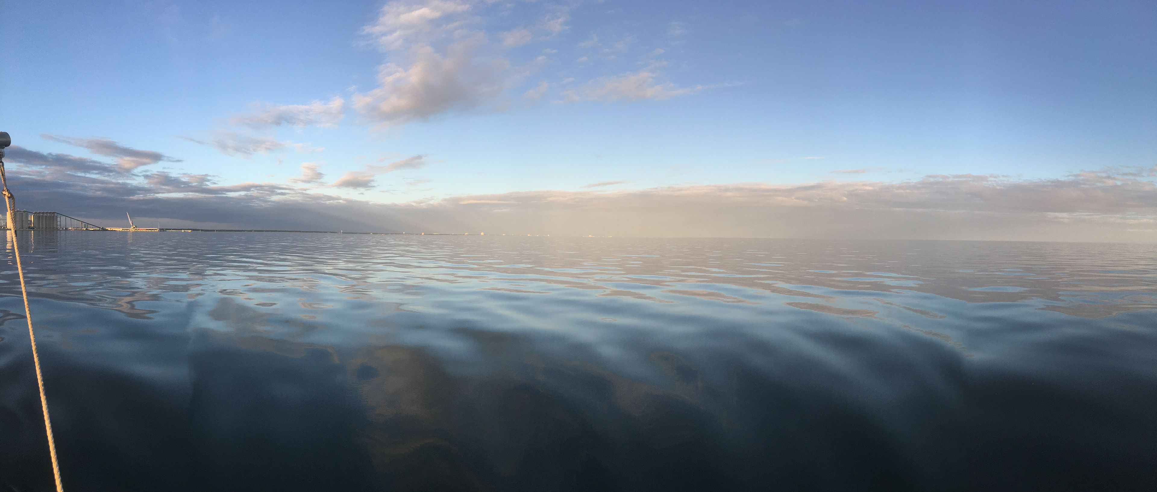
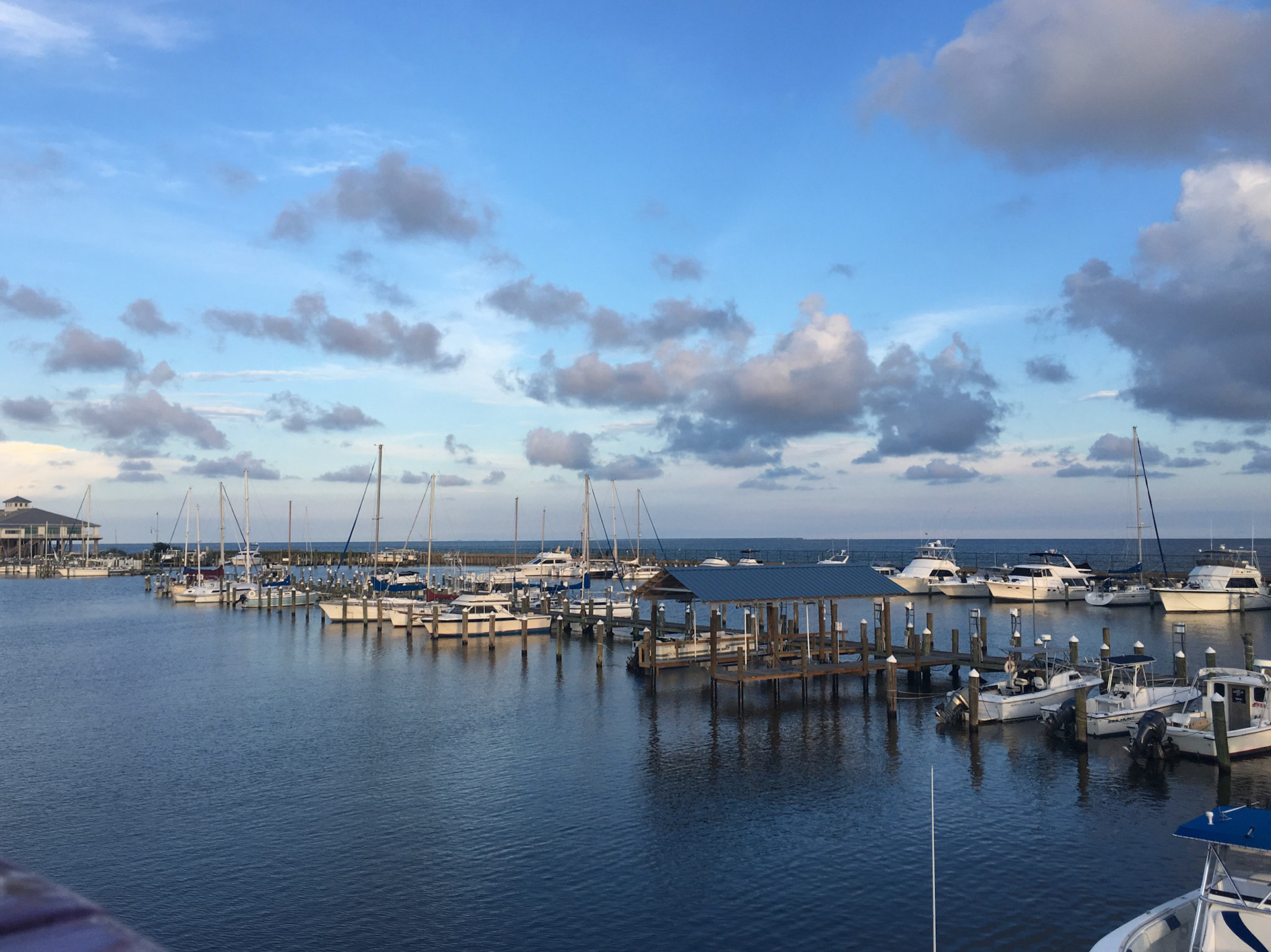
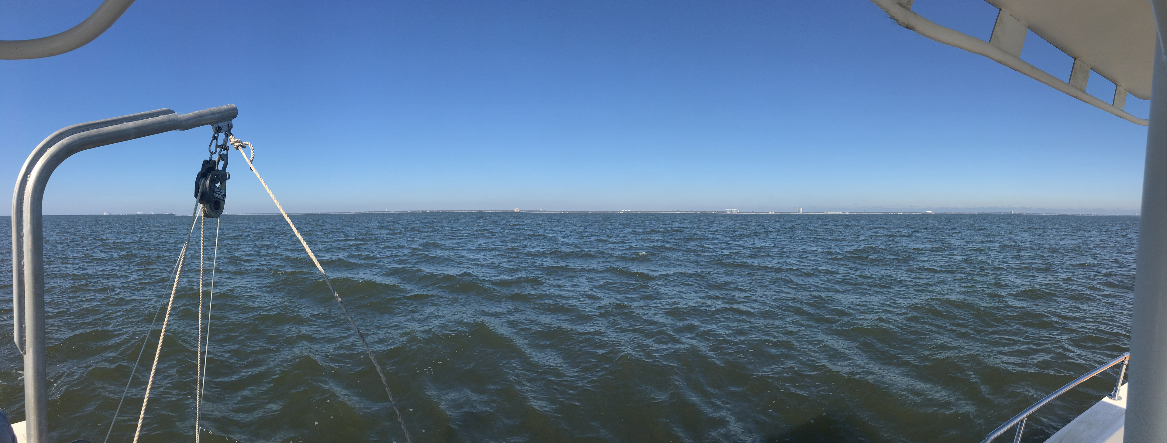
Offshore Gulfport
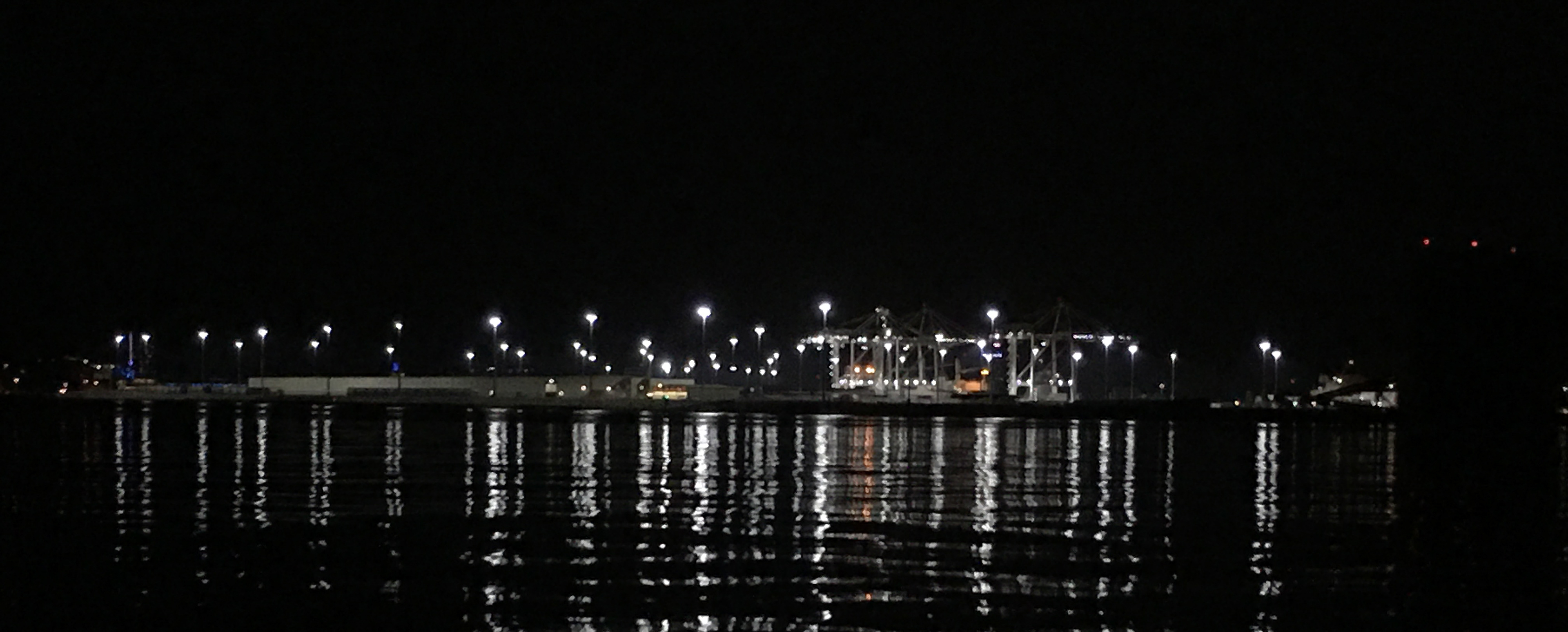
Gulfport at Night
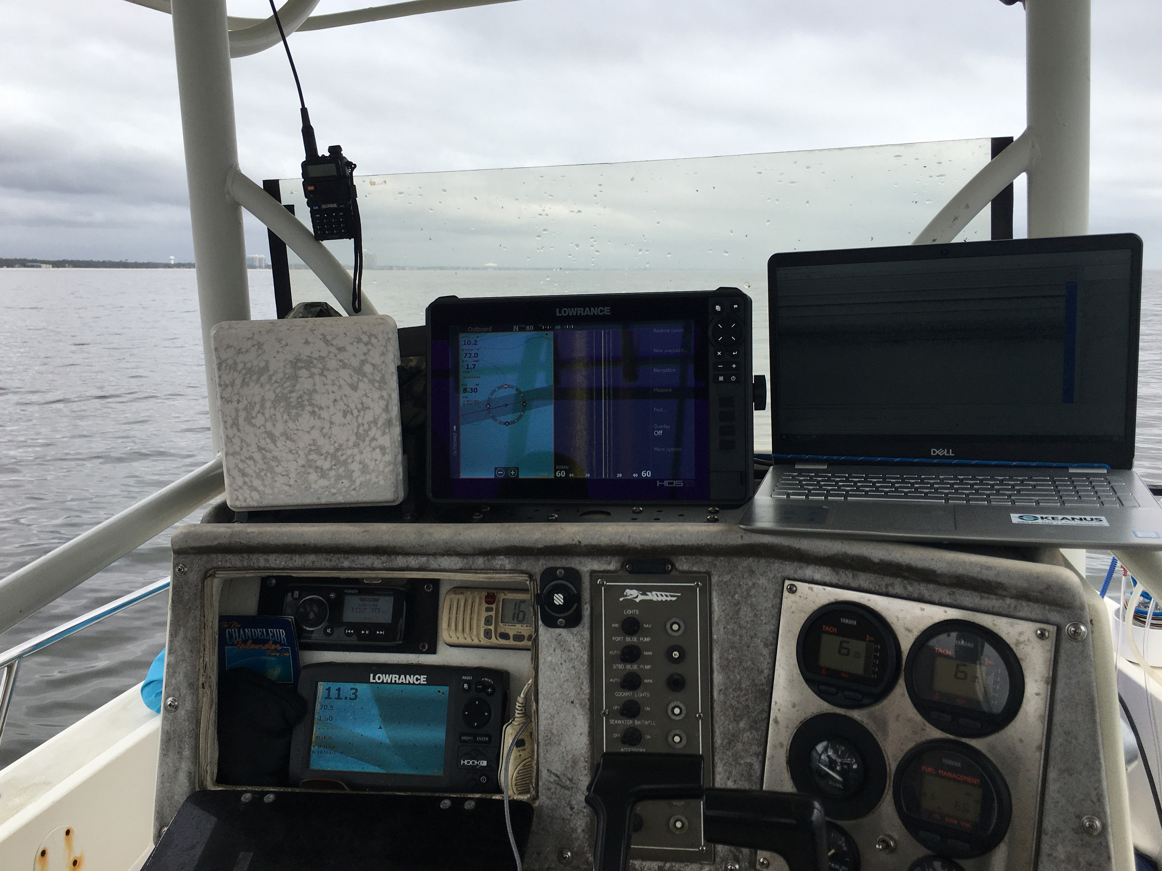
Instrumentation by Lowrance
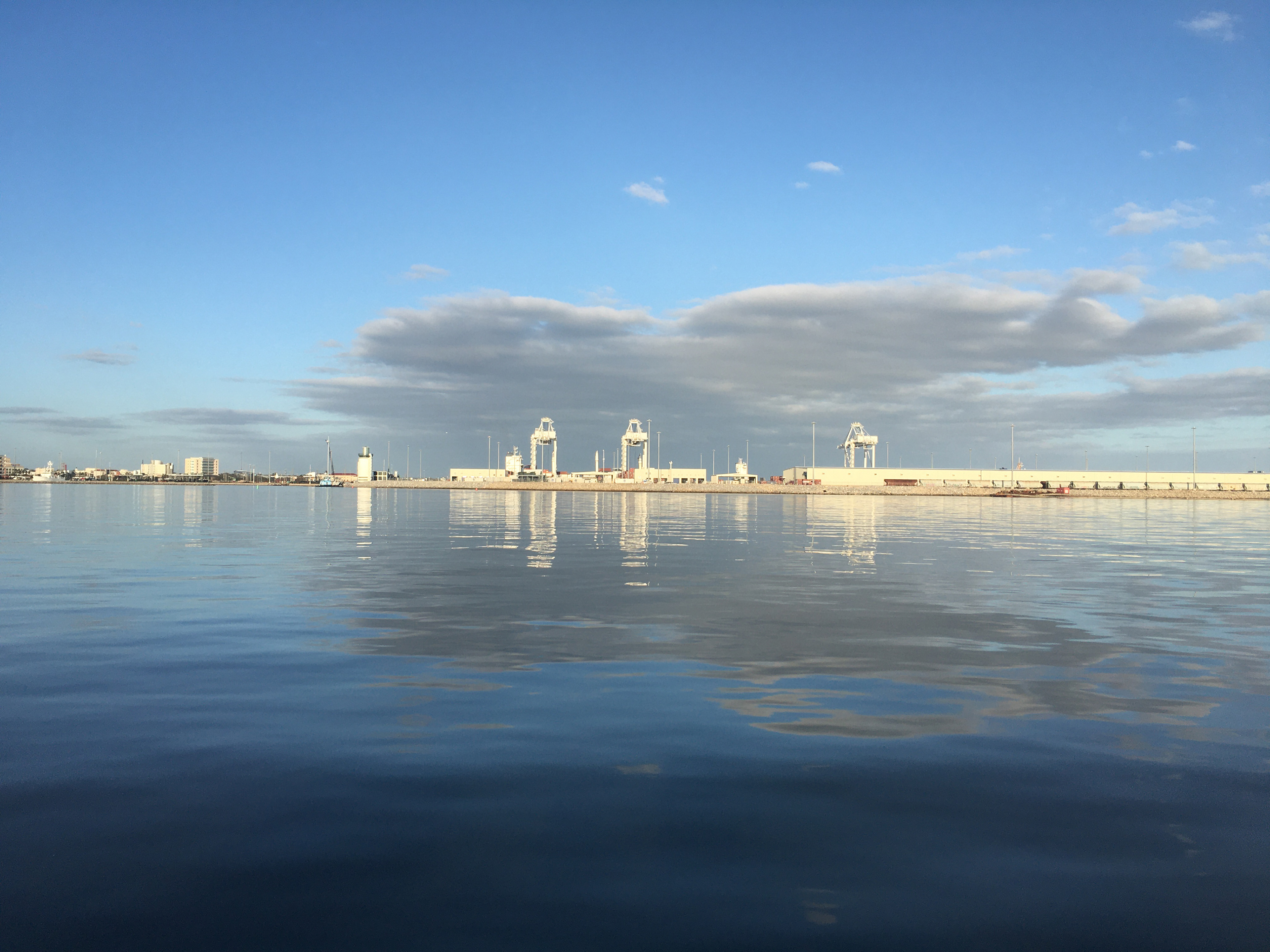
Port of Gulfport
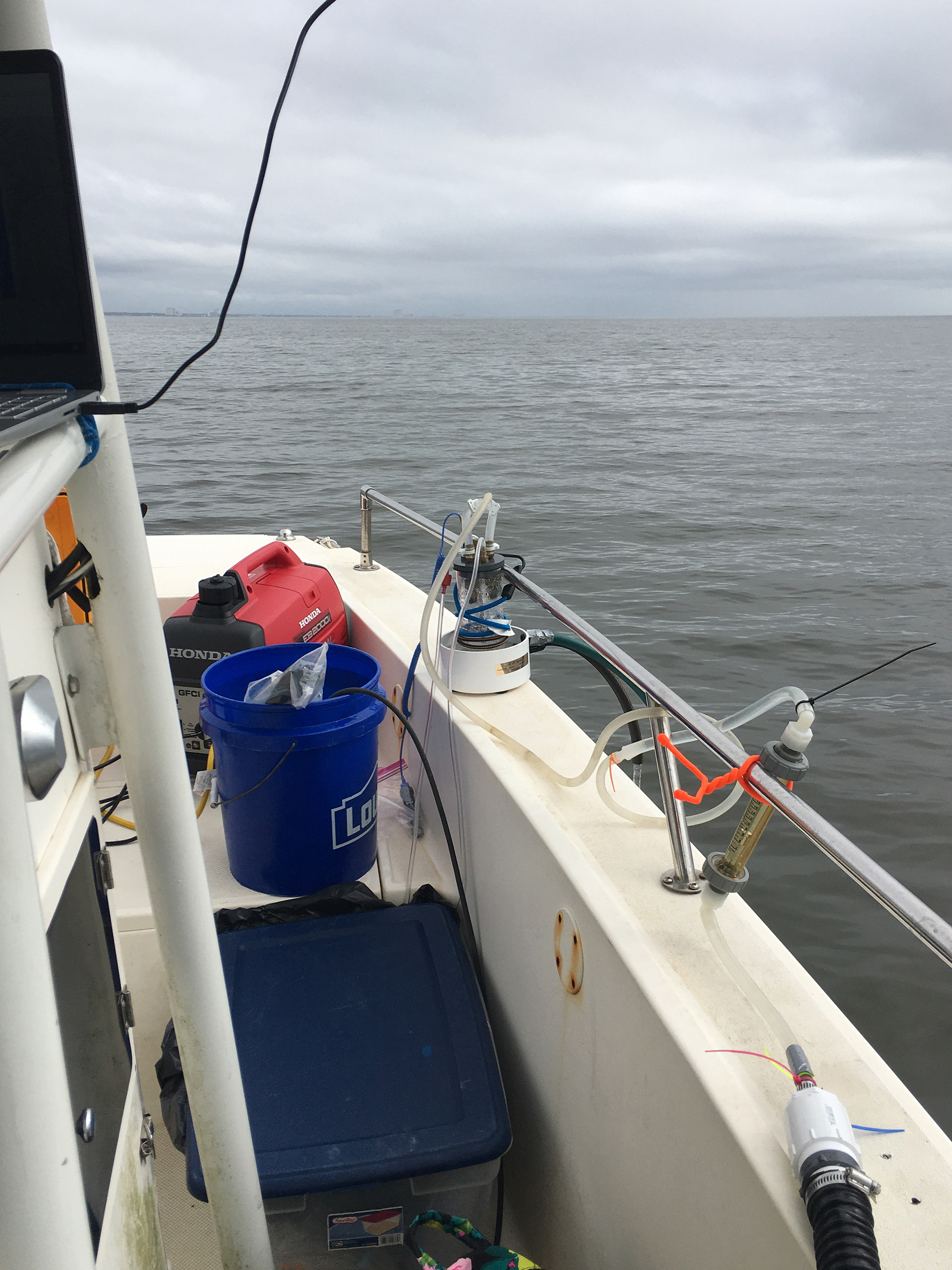
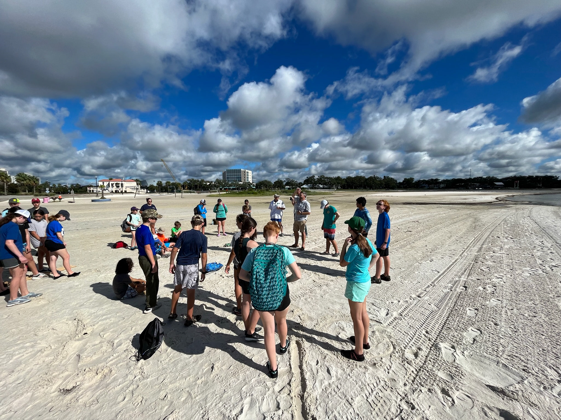
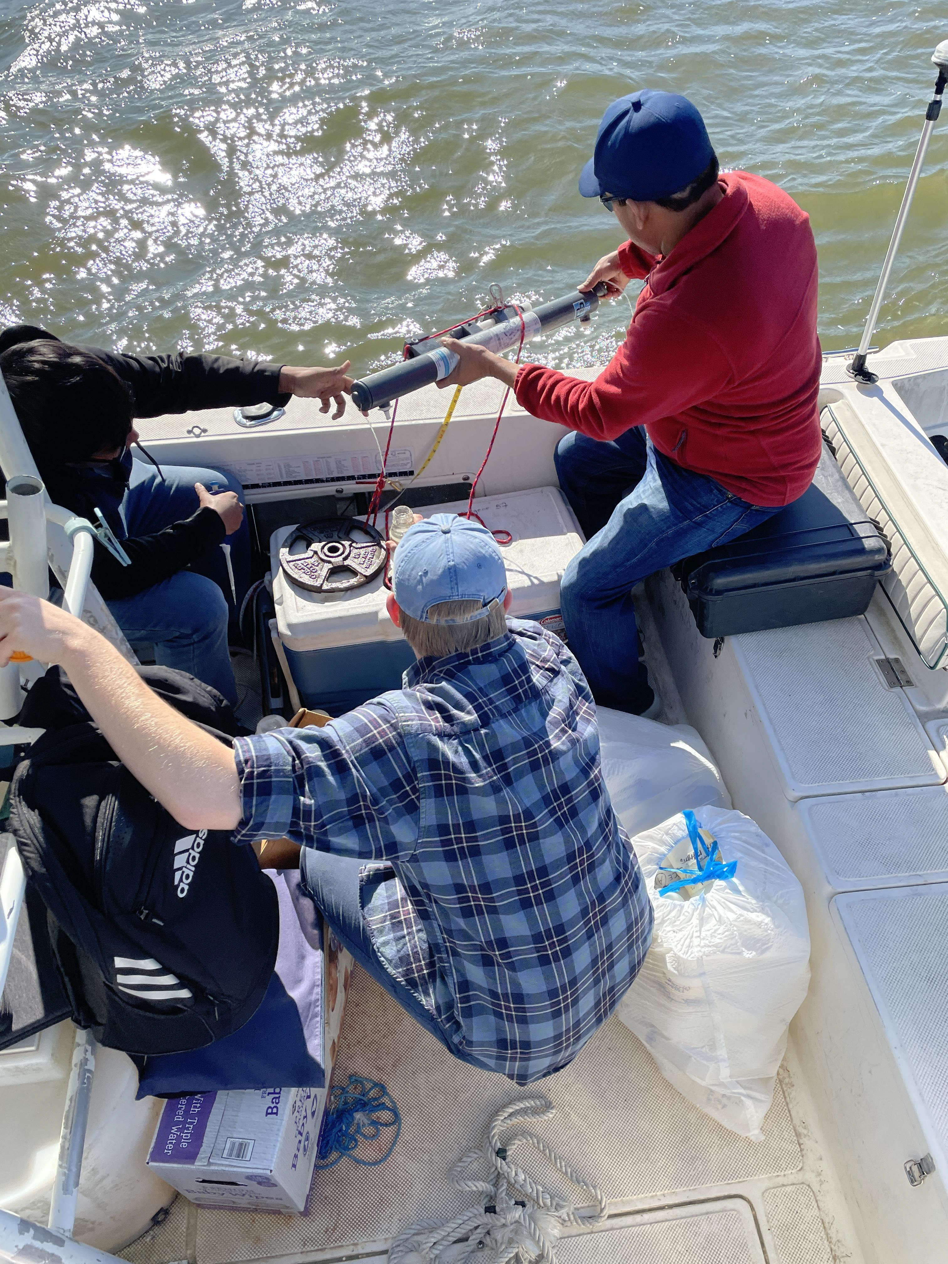
Radon Survey
Radon Survey
Towing a Sonar Array offshore Gulfport
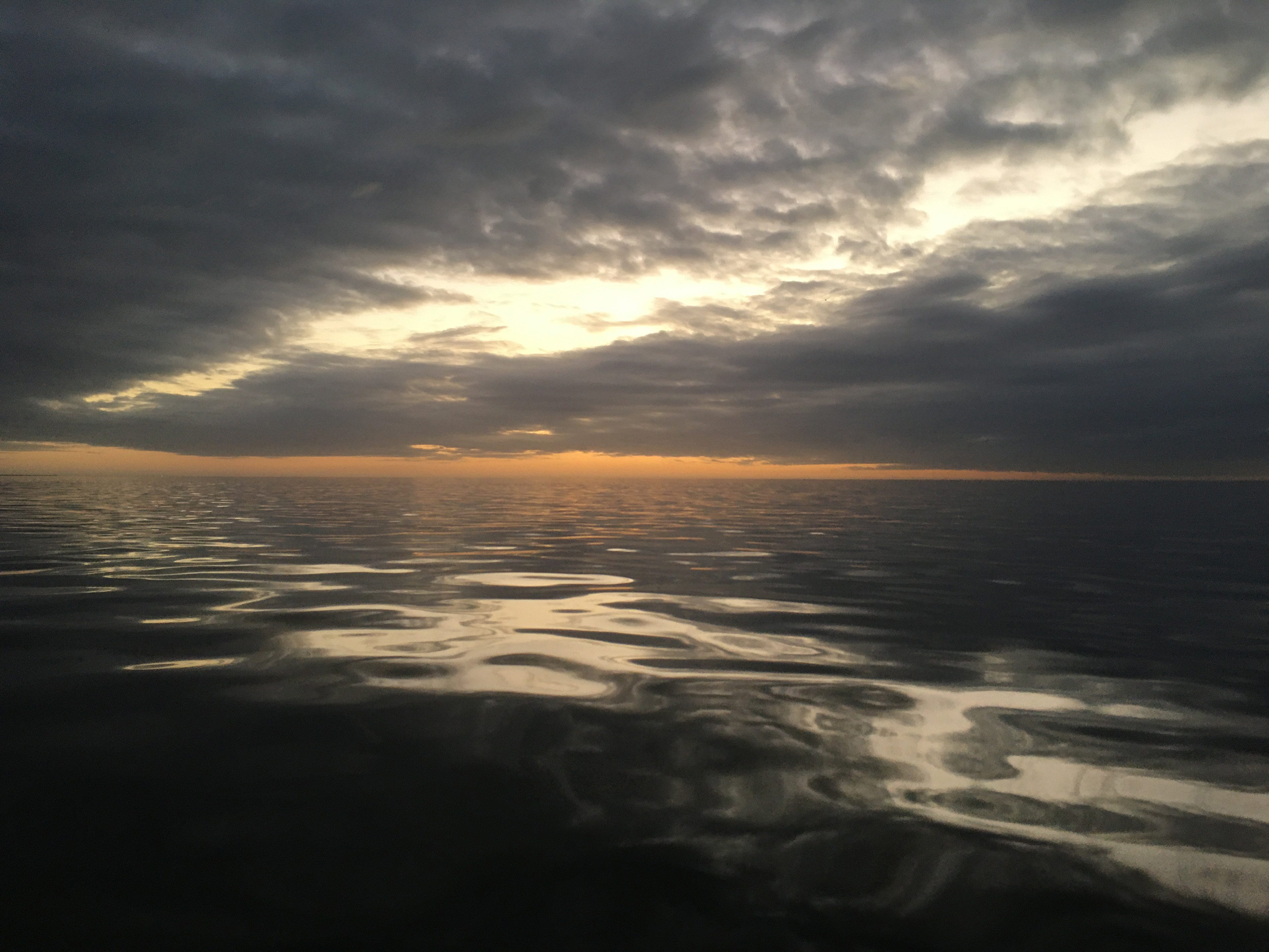
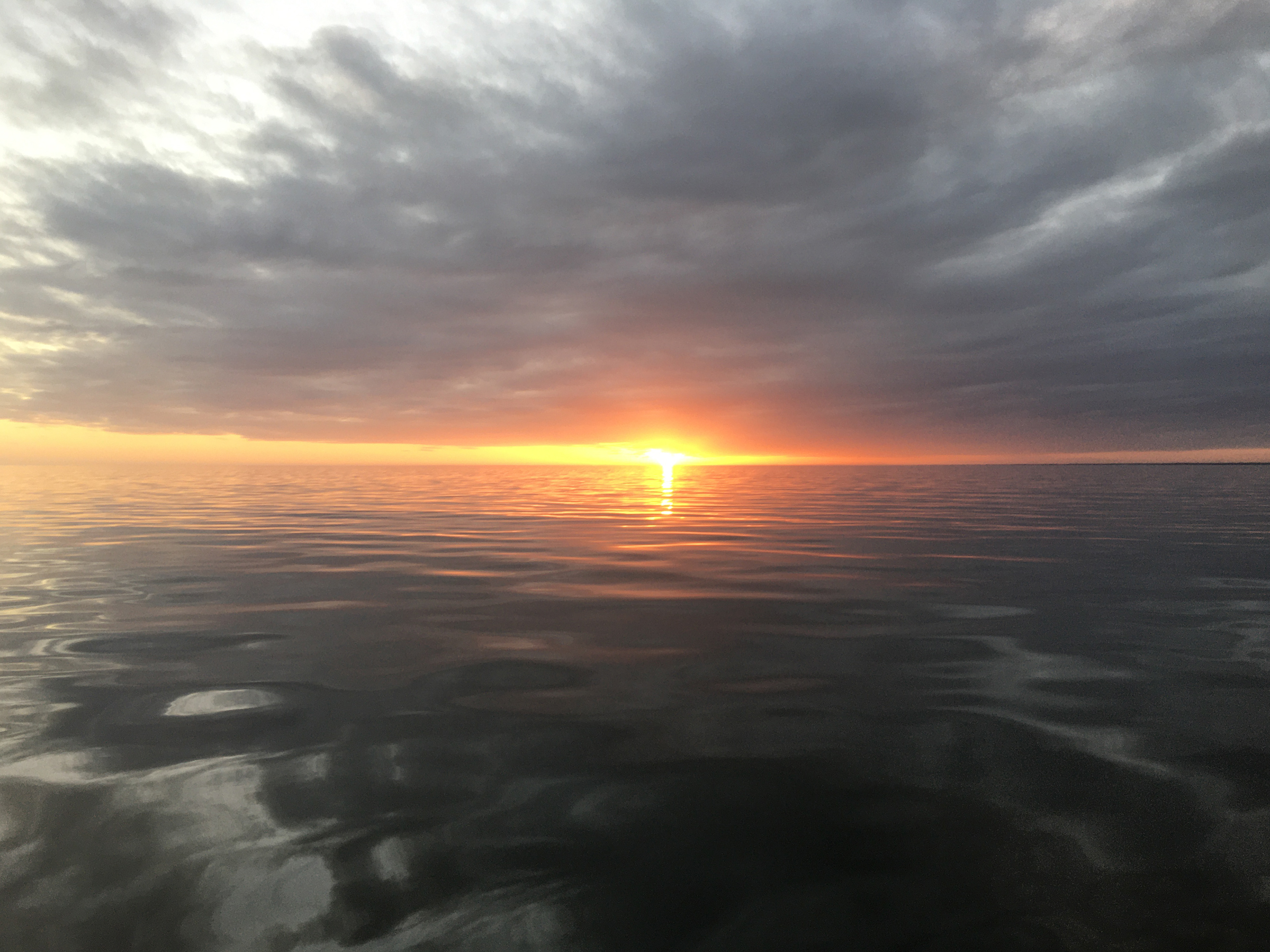
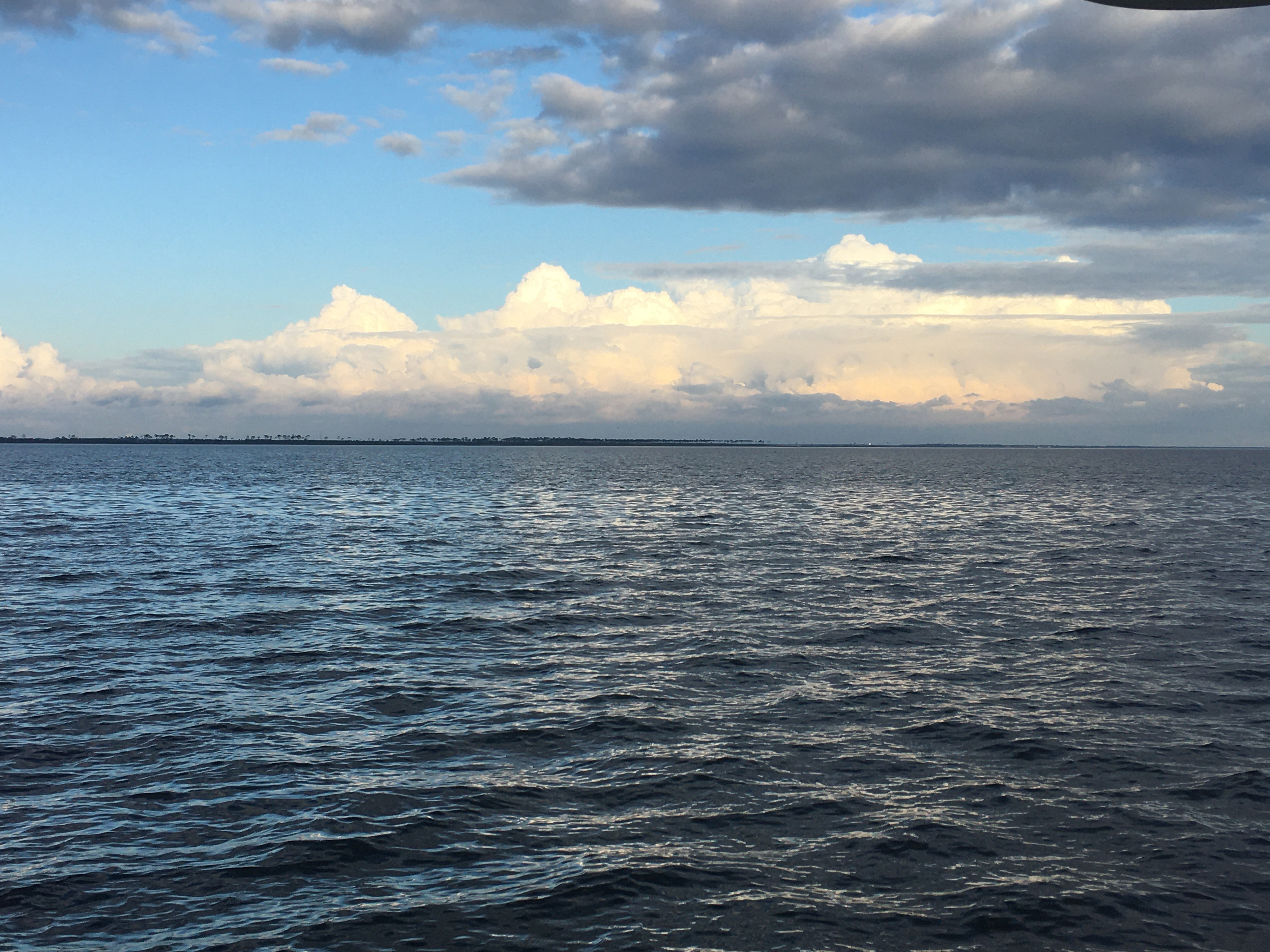
Sunset on the Sound

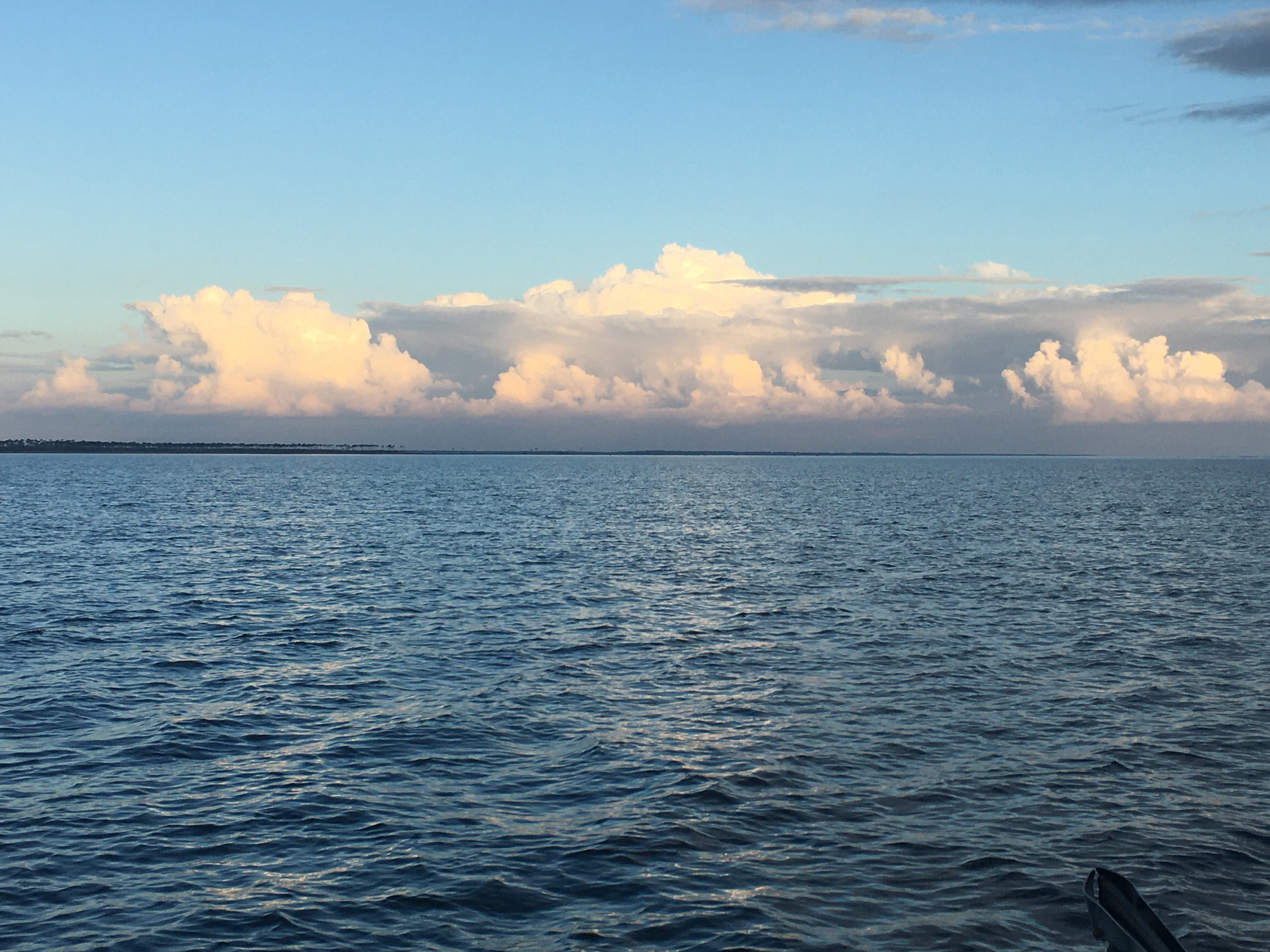
Sun Setting on the Sound
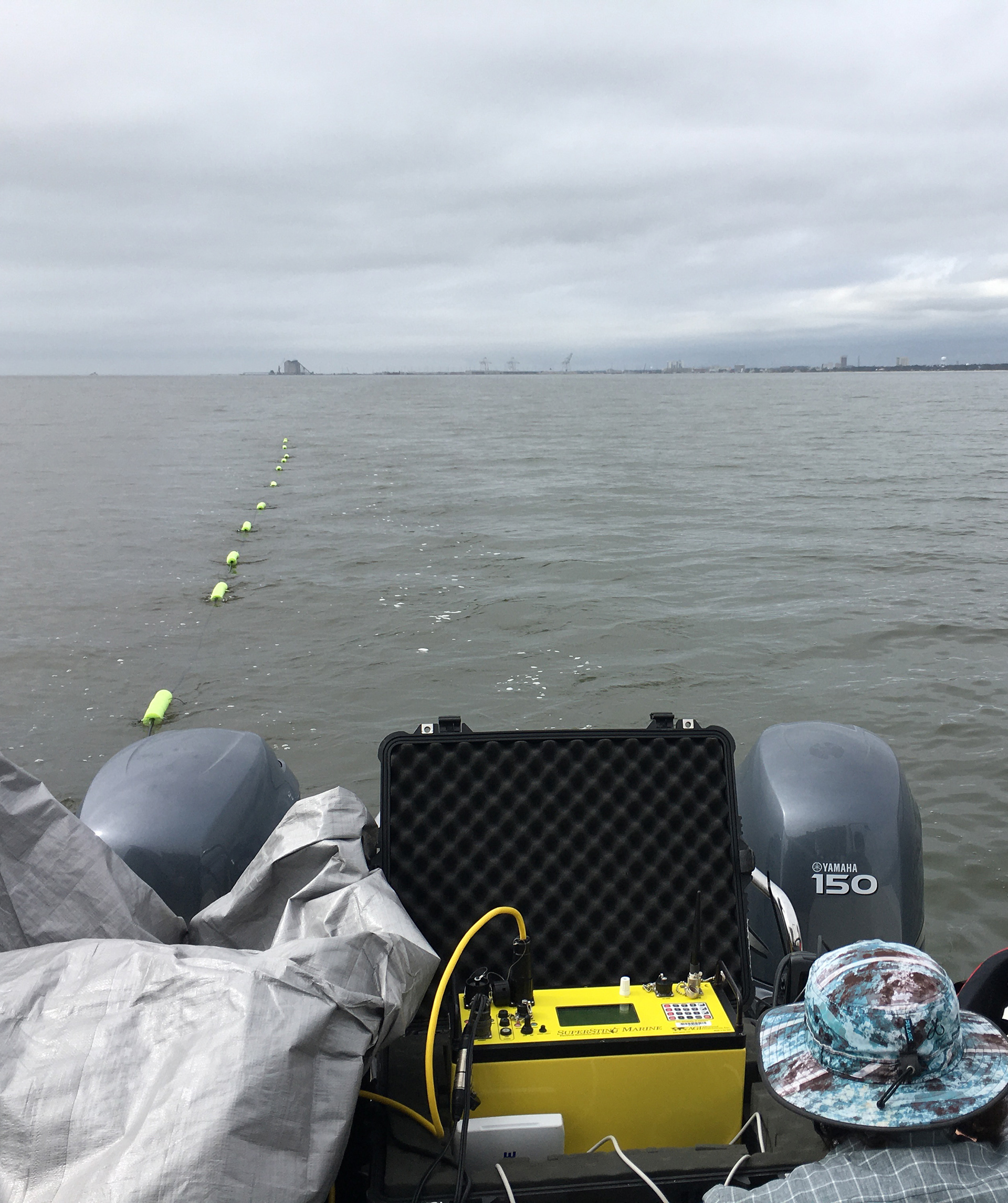
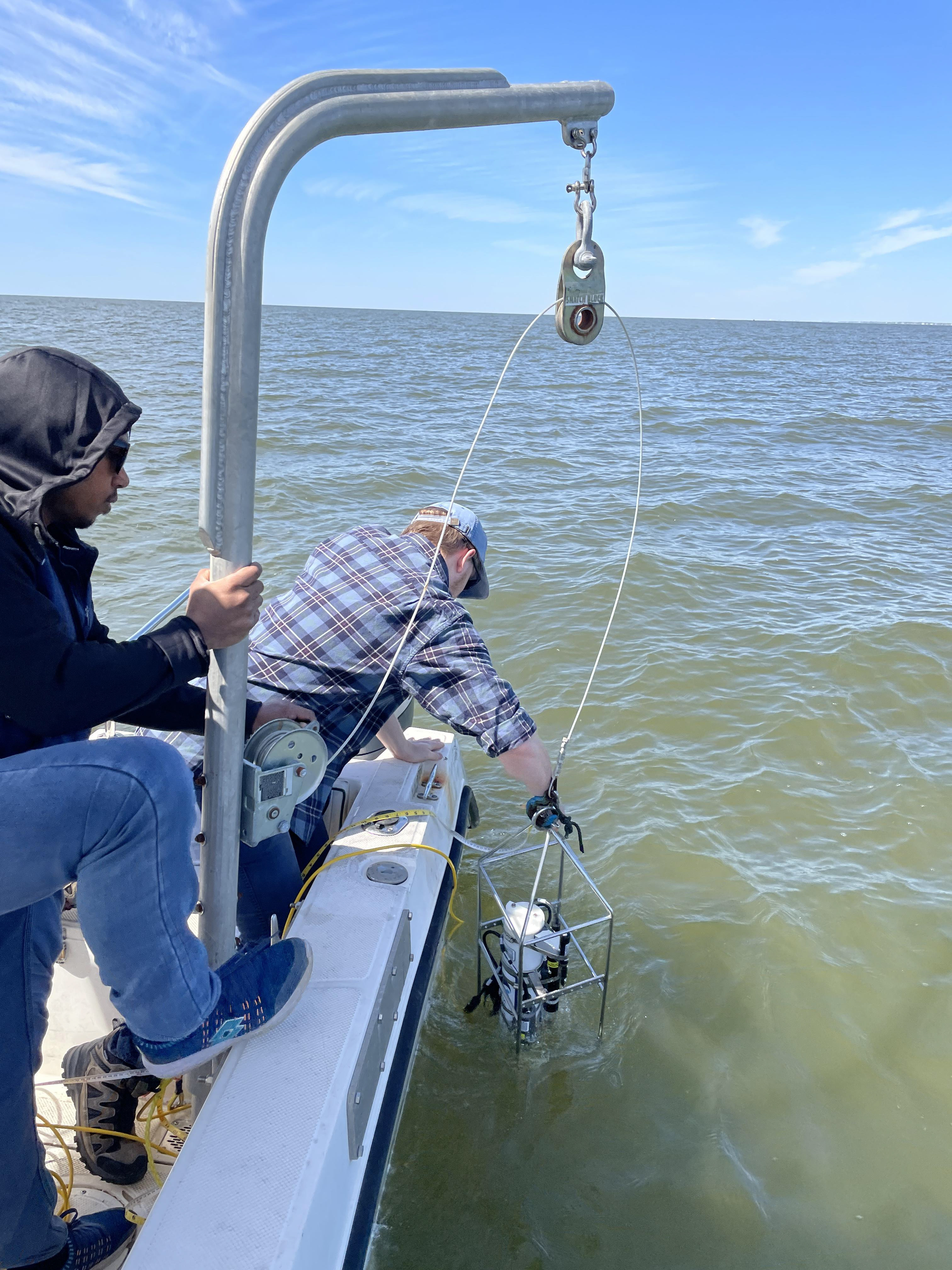
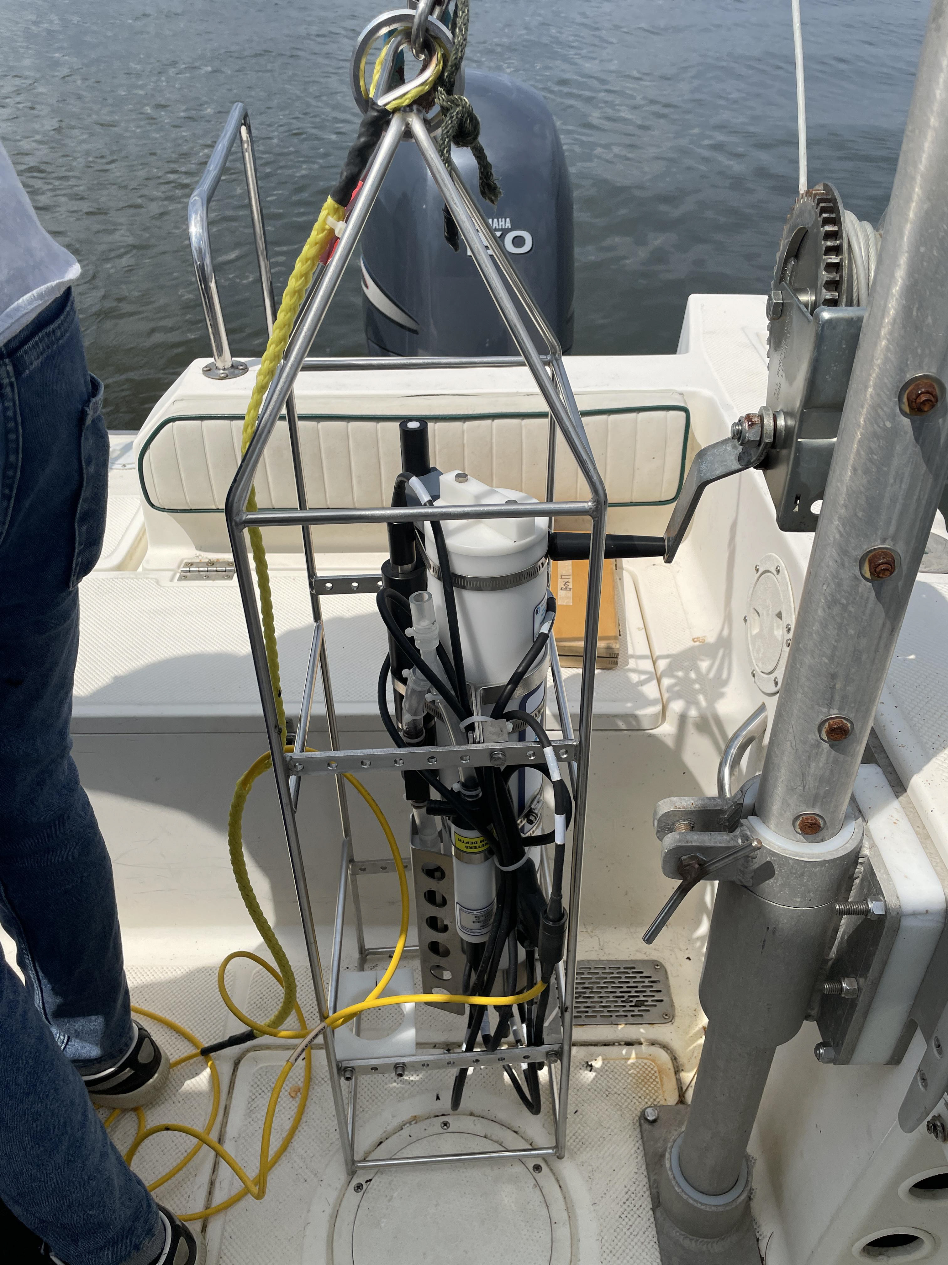
Towed Resistivity Array