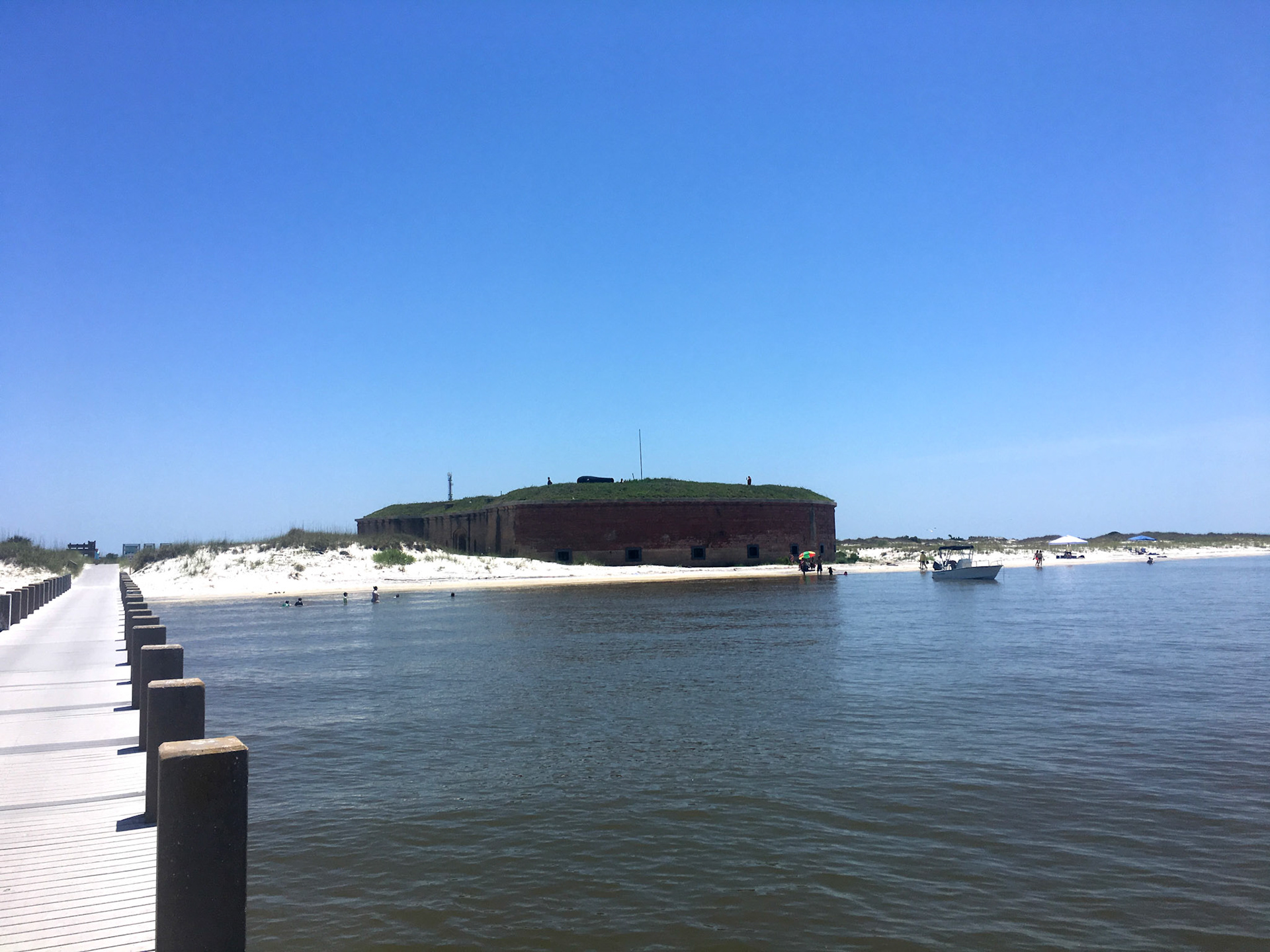
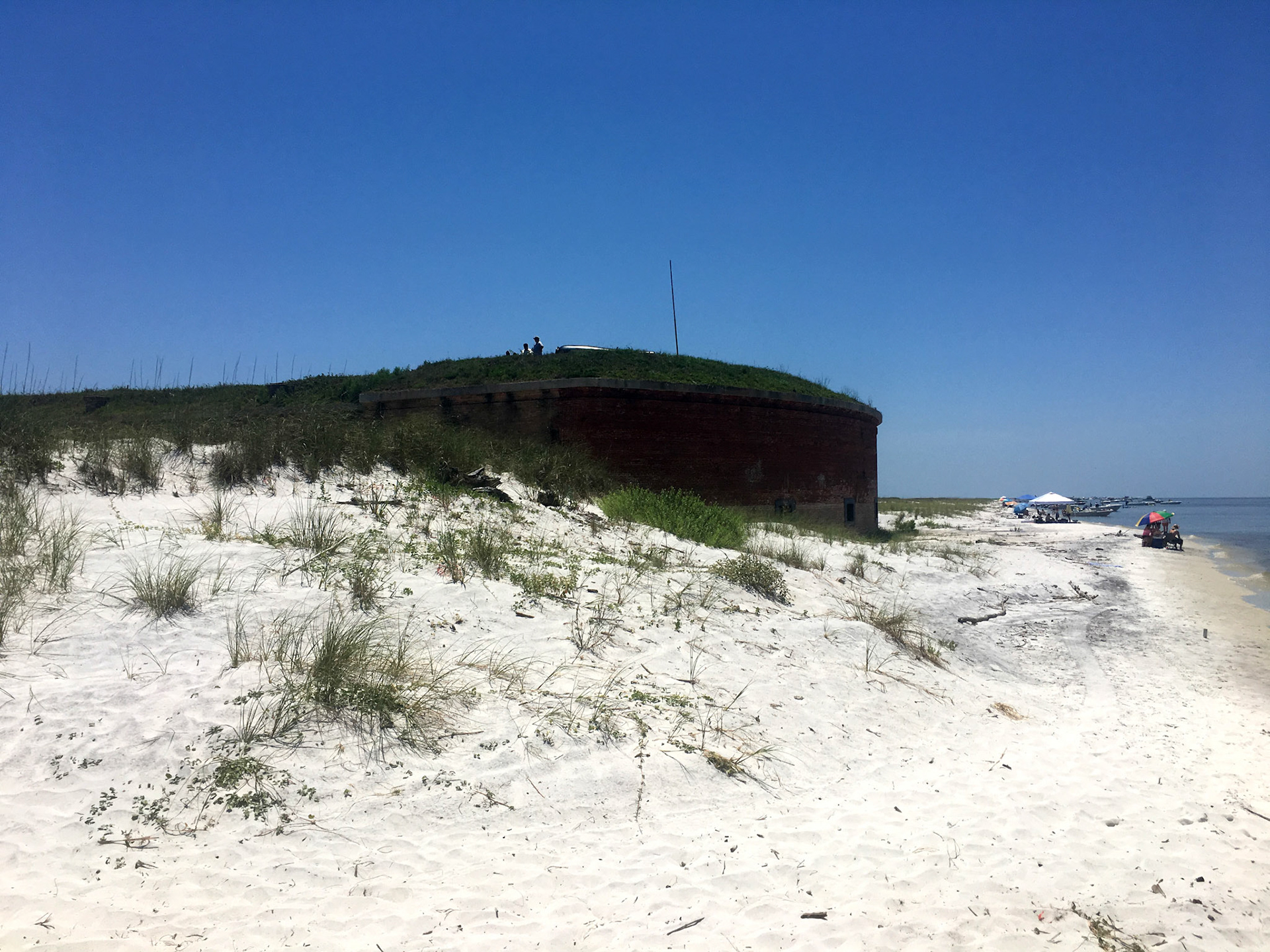
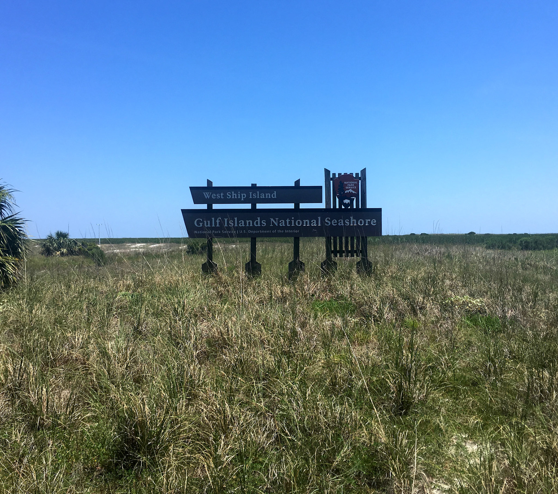
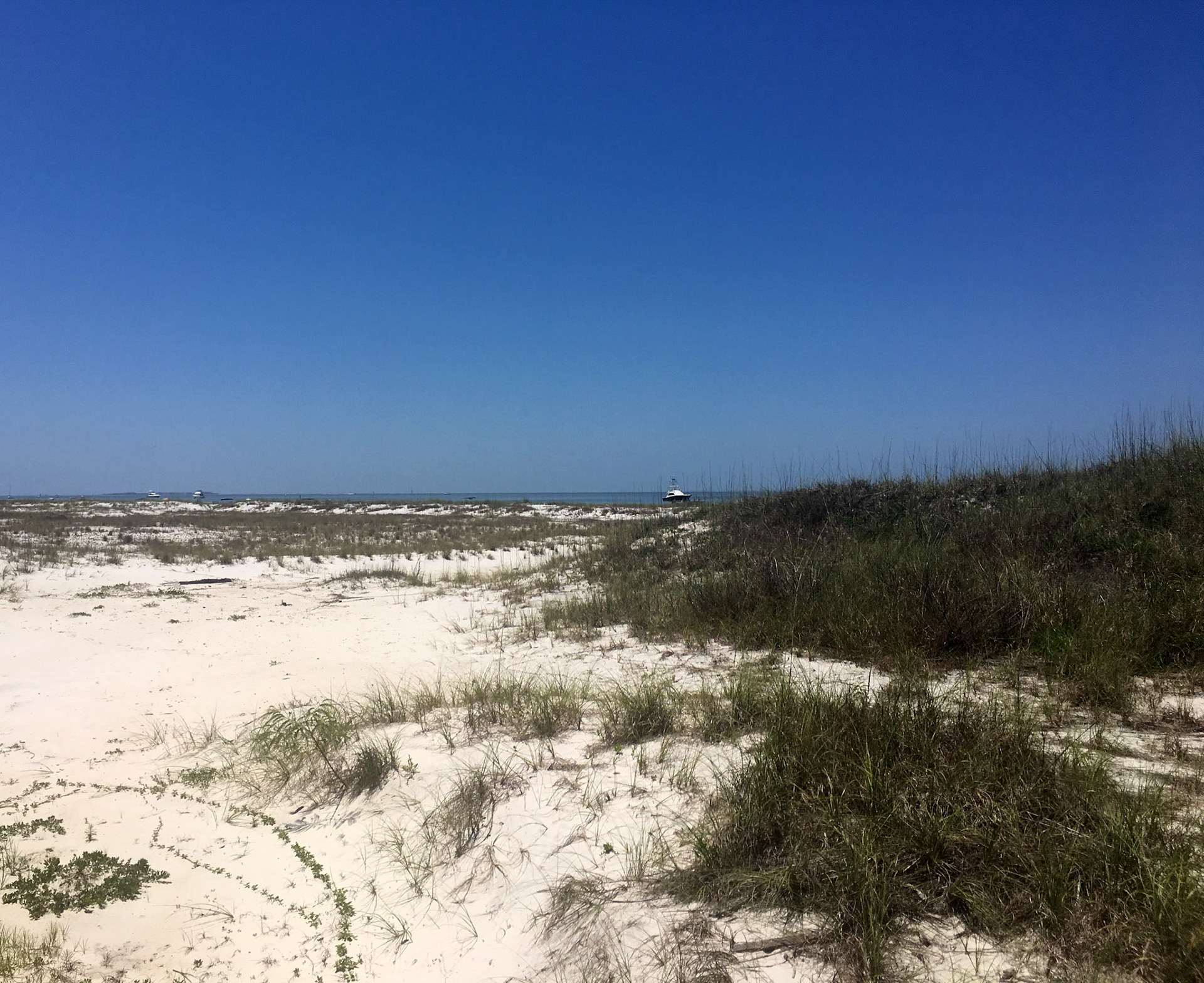
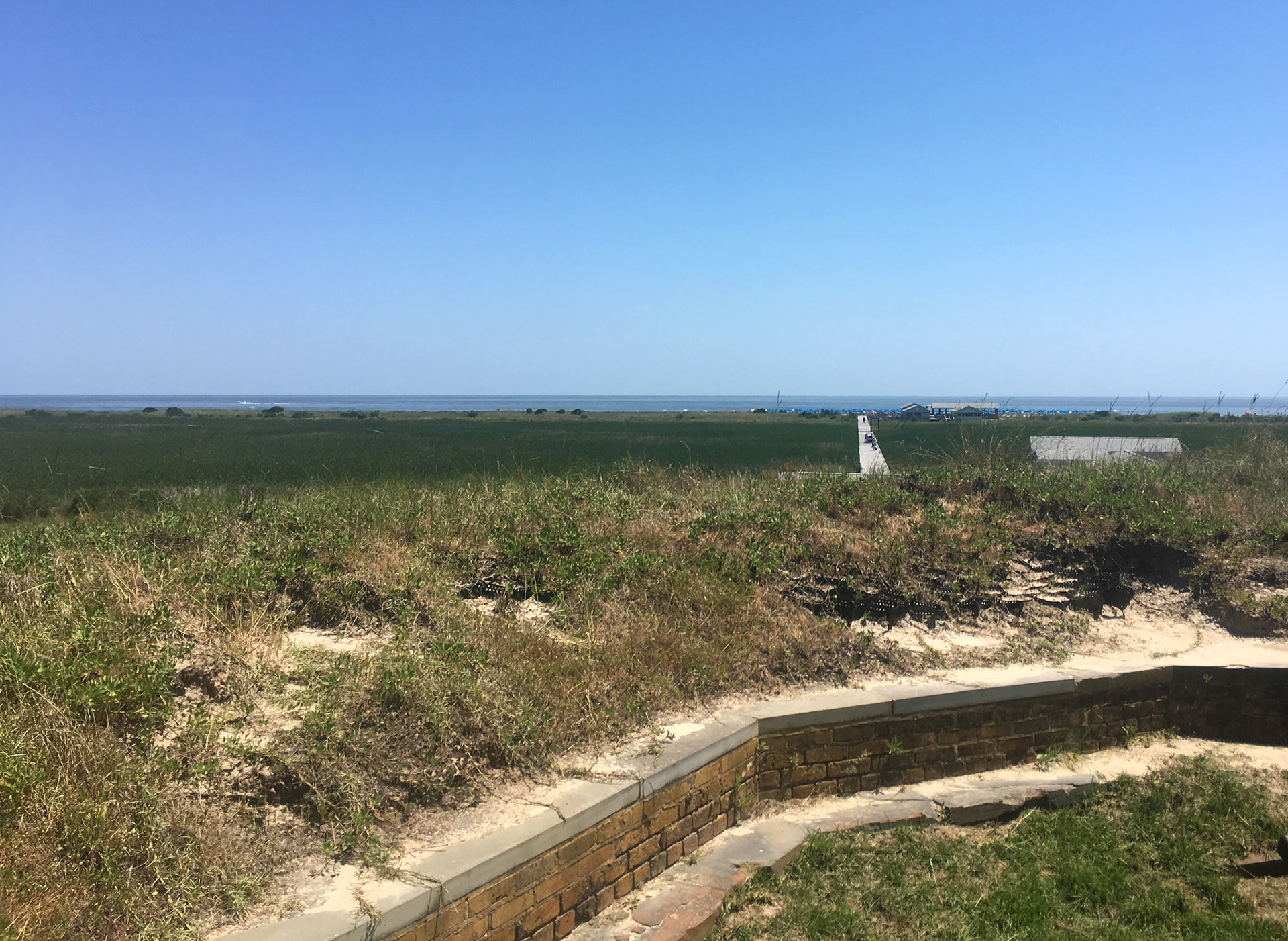
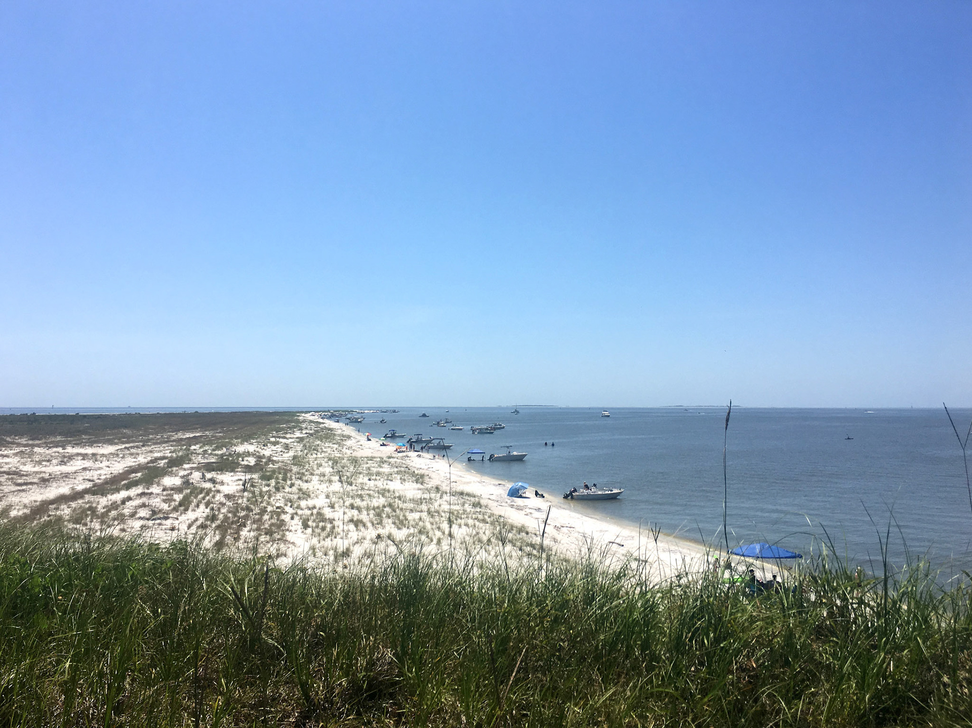
Located on Ship Island within the Gulf Islands National Seashore, it has a rich history dating back to the mid-19th century.
Fort Massachusetts was built by the United States government between 1859 and 1866. Its construction was prompted by the need to fortify strategic coastal locations following the War of 1812. The fort was designed to defend the Gulf Coast against potential naval threats.
Ship Island and Fort Massachusetts played significant roles during the American Civil War. The island served as a base for Union forces in the Gulf of Mexico. In 1862, Union troops launched expeditions from Ship Island to capture New Orleans and other Confederate-held territories along the Mississippi River. The fort did not see direct combat during the war but was an essential logistical and strategic point for Union operations in the region. After the Civil War, Fort Massachusetts remained used by the United States military for several decades. However, military technology advancements and strategic priorities made many coastal forts obsolete by the late 19th century.
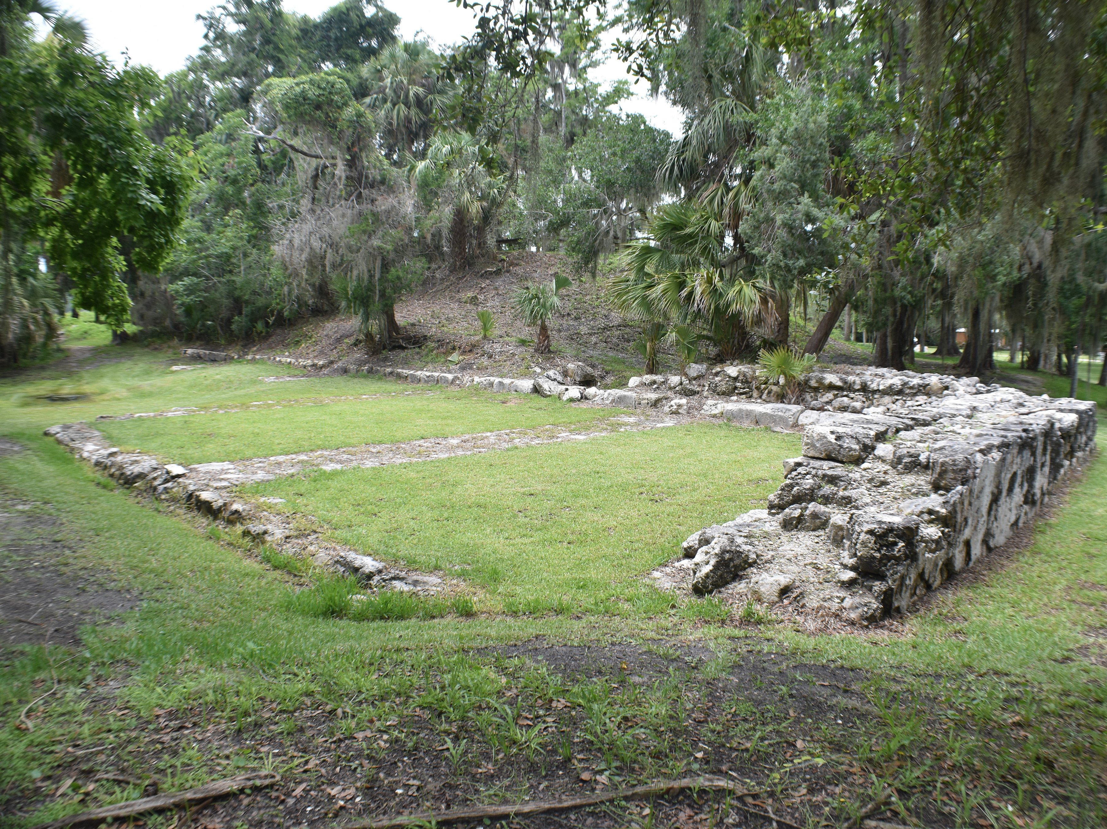
The military abandoned Fort Massachusetts in the early 20th century. Over the years, it fell into disrepair due to neglect and exposure to the elements. In the 20th century, efforts were made to preserve and restore it as a historic site. It became part of the Gulf Islands National Seashore, a National Park Service unit that oversees its maintenance and interpretation.
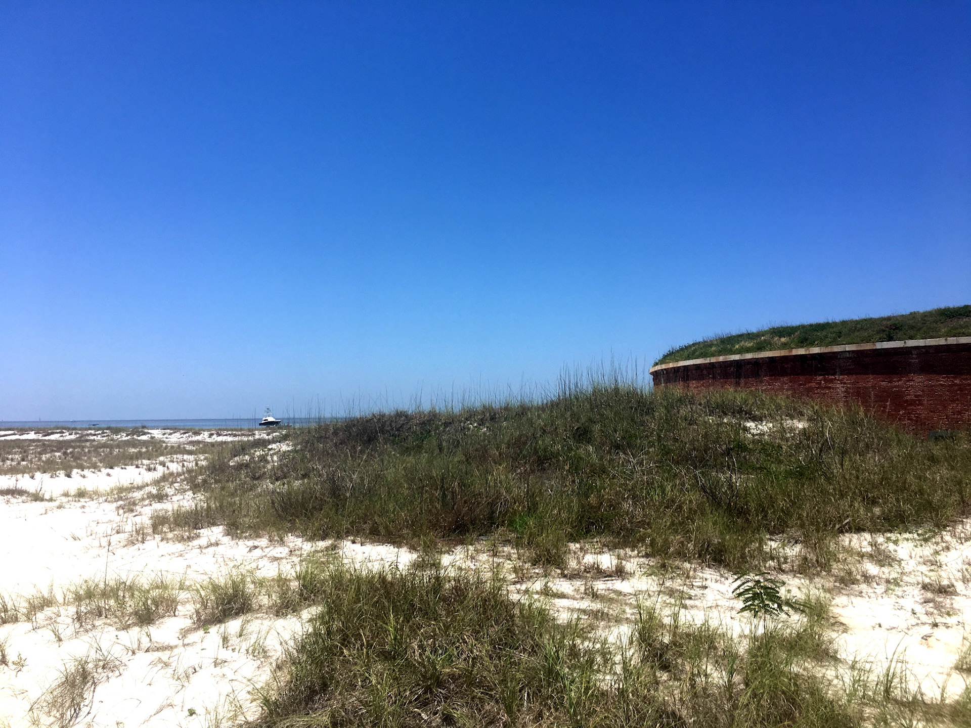
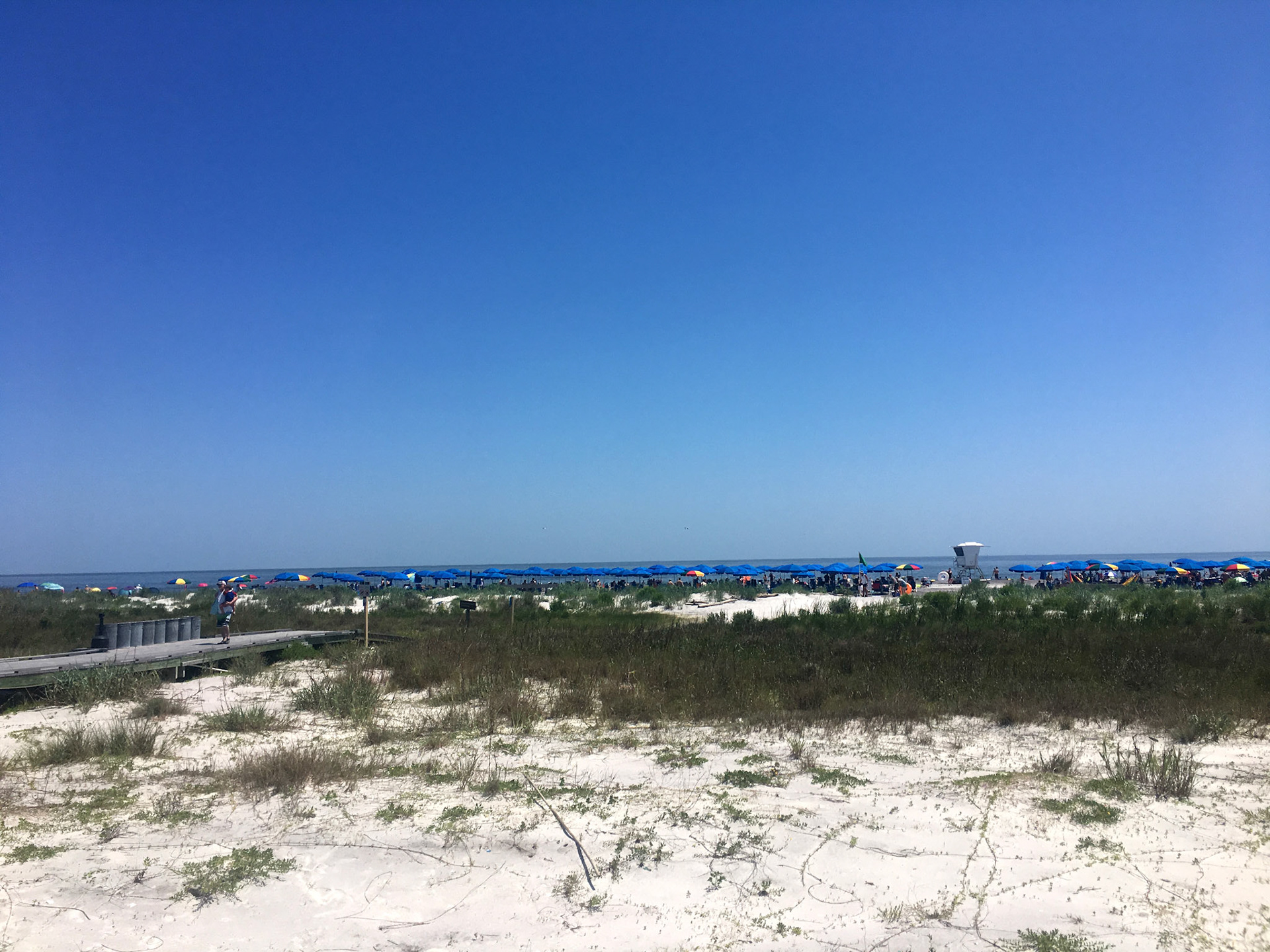
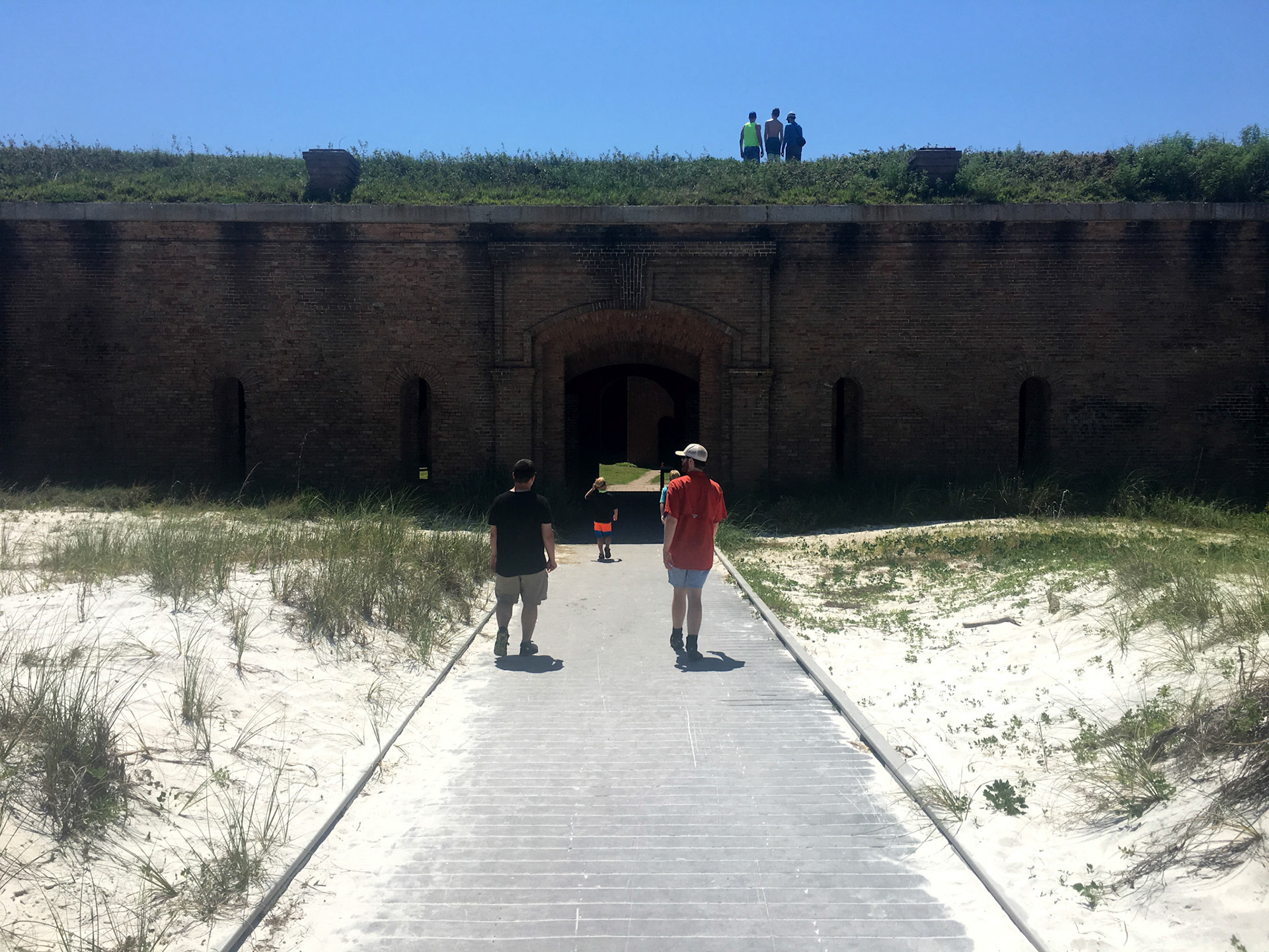
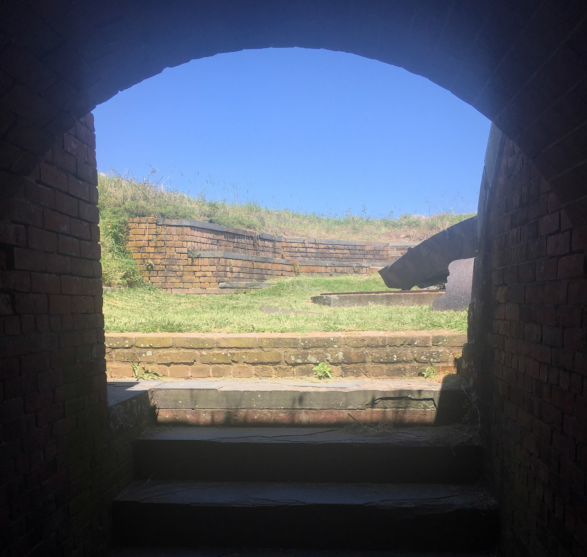
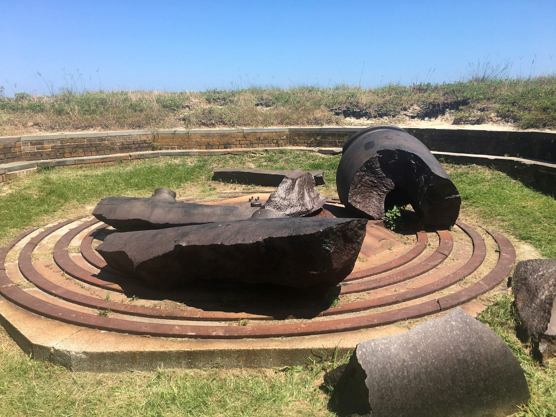
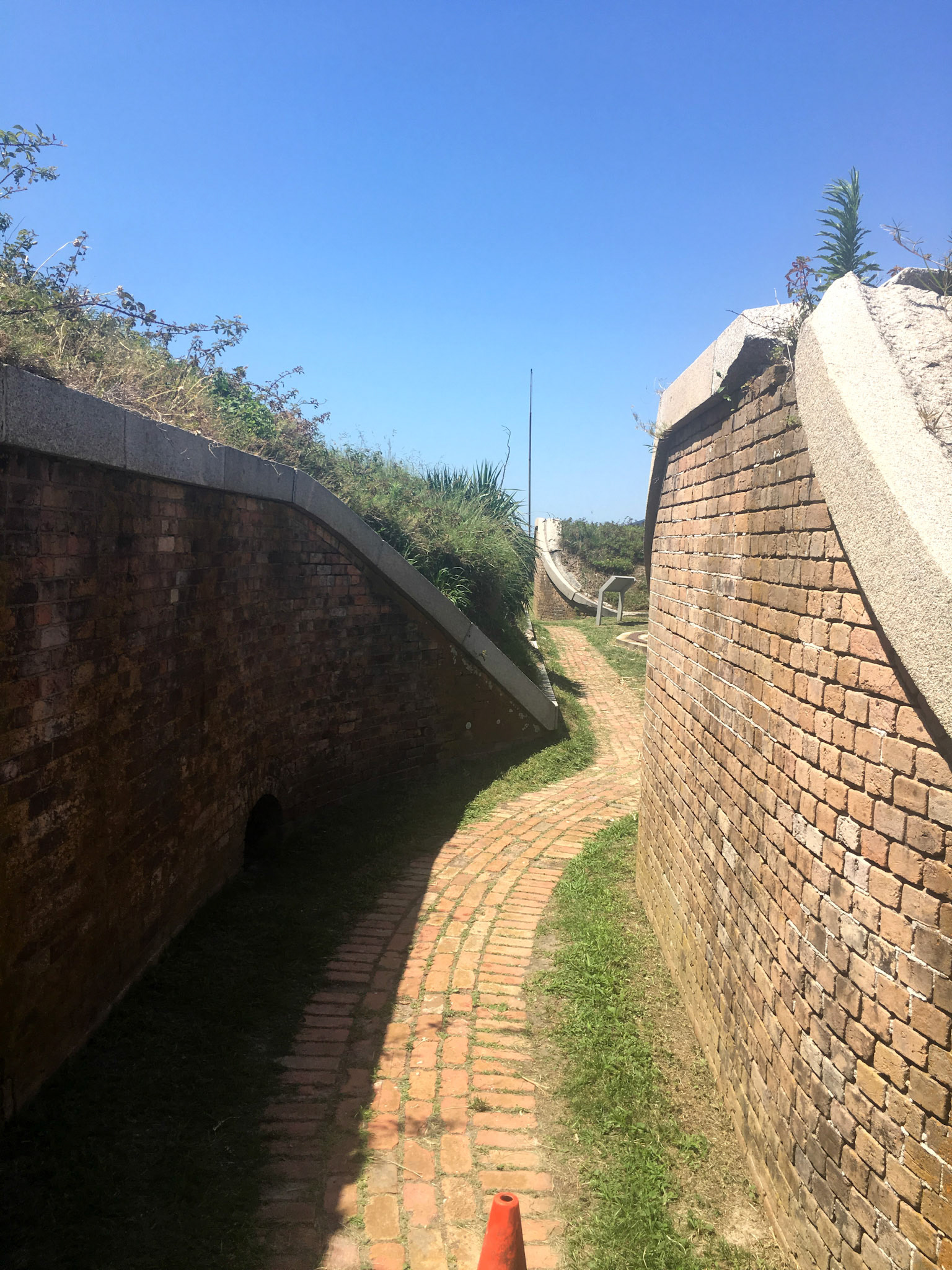
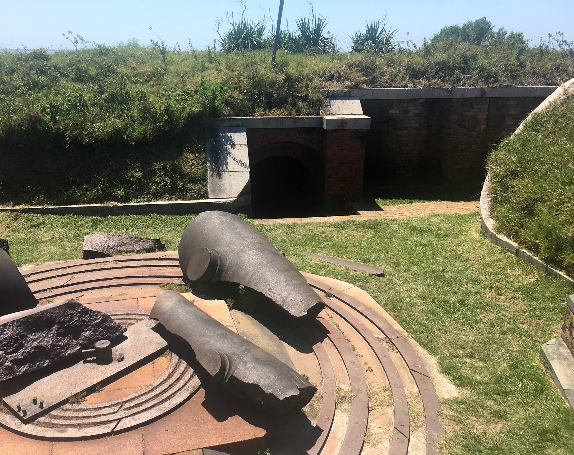
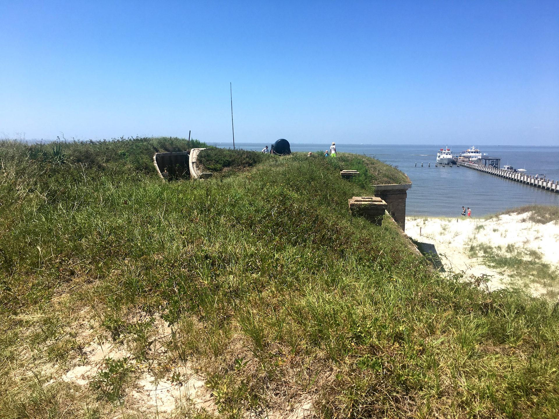
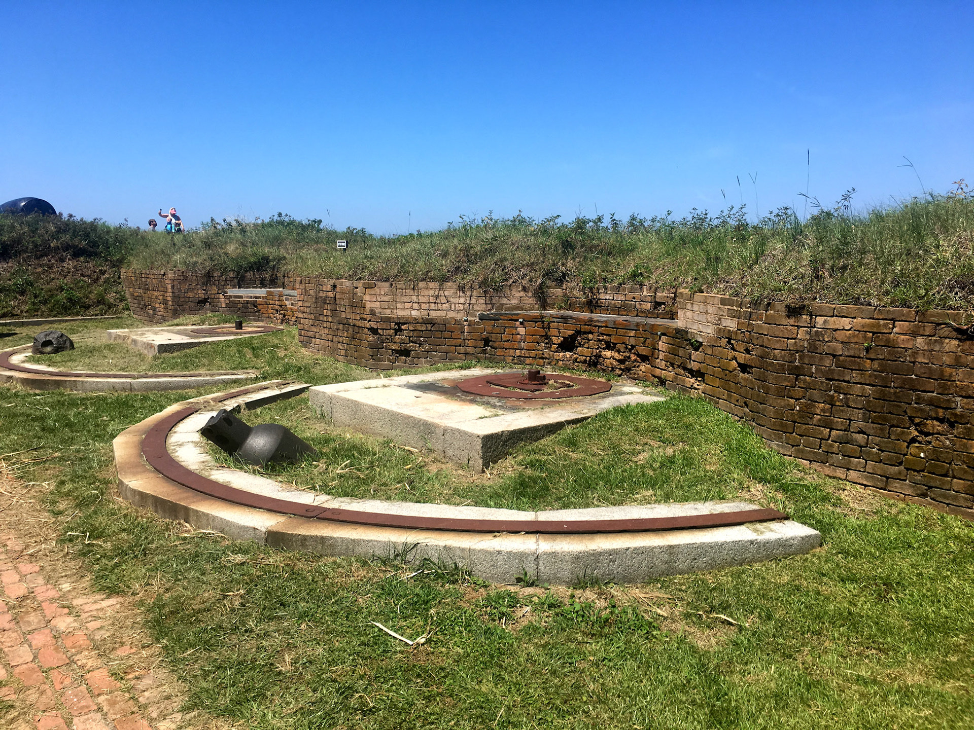
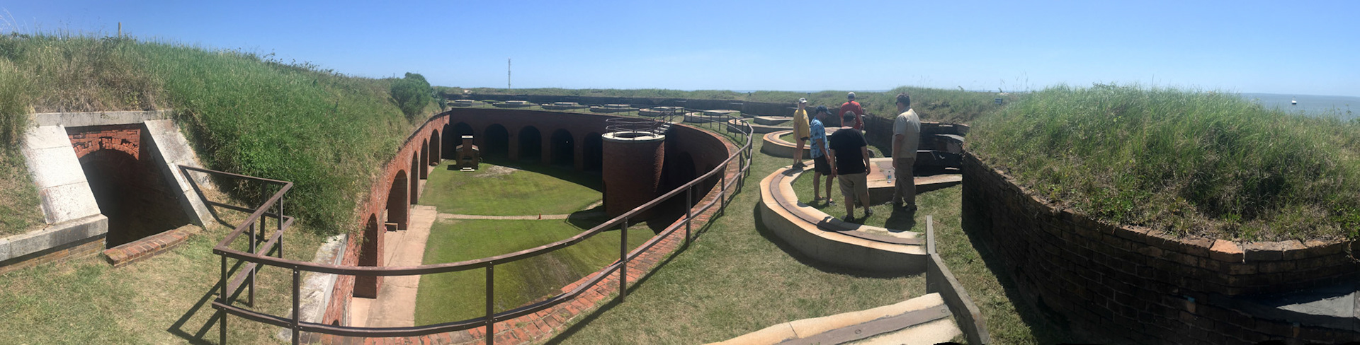
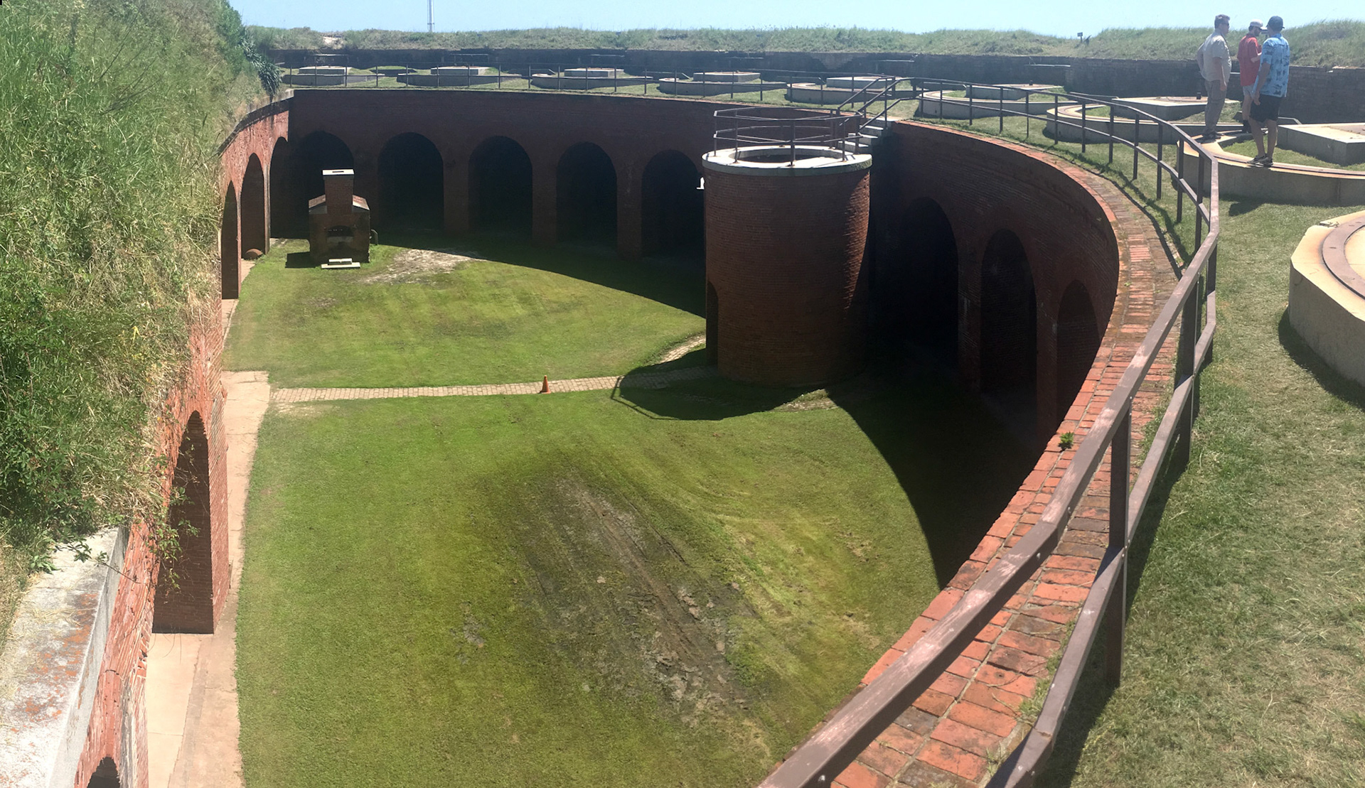
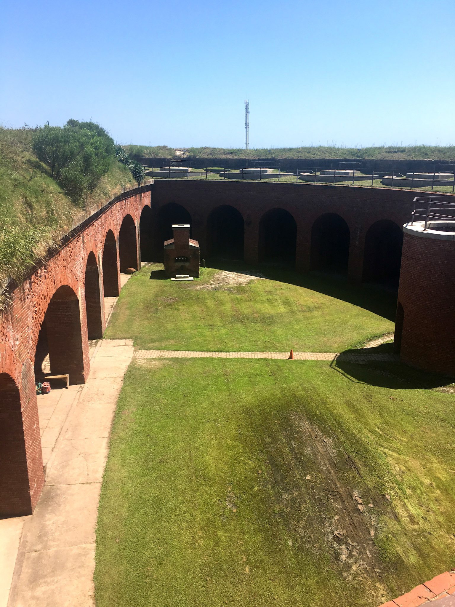
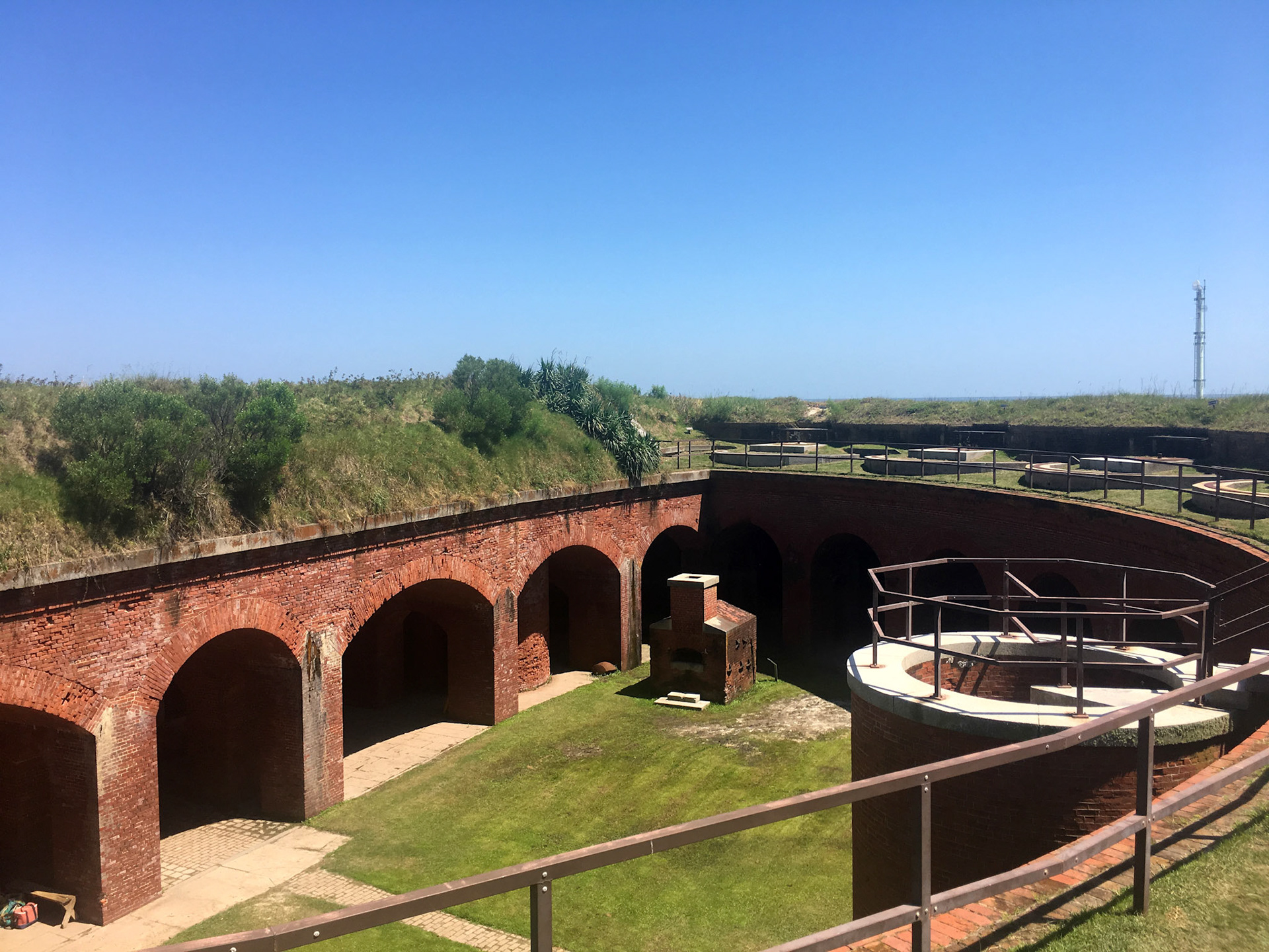
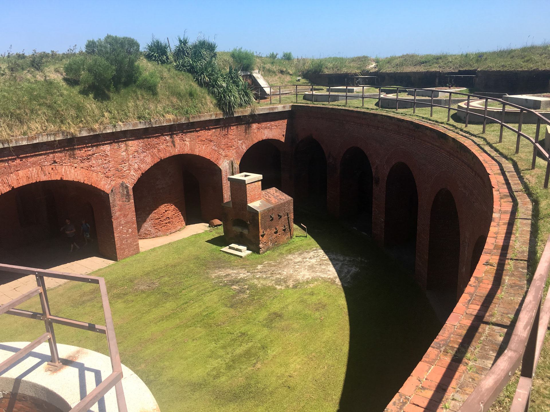
Today, Fort Massachusetts stands as a testament to the military history of the Gulf Coast region. Visitors to Ship Island can explore the fort's well-preserved remains, including its walls, bastions, and gun emplacements. Interpretive displays provide insights into the fort's role in American history, particularly during the Civil War era.
Fort Massachusetts on Ship Island reminds us of the strategic importance of coastal defense systems early in our nation's history.
Following the War of 1812, the U.S. Government began planning to construct a system of fortifications for coastal defense. Because of the Island’s natural deep-water harbor and location along a major shipping route, Ship Island was essential to protecting New Orleans and the Mississippi Gulf Coast. The island was listed as a U.S. Military Reservation in 1847, and authorization was given to begin constructing a fortification 8-9 years later.
The funding was appropriated for construction in 1857, which included a budget of $100,000 to build a fortification on the Island.
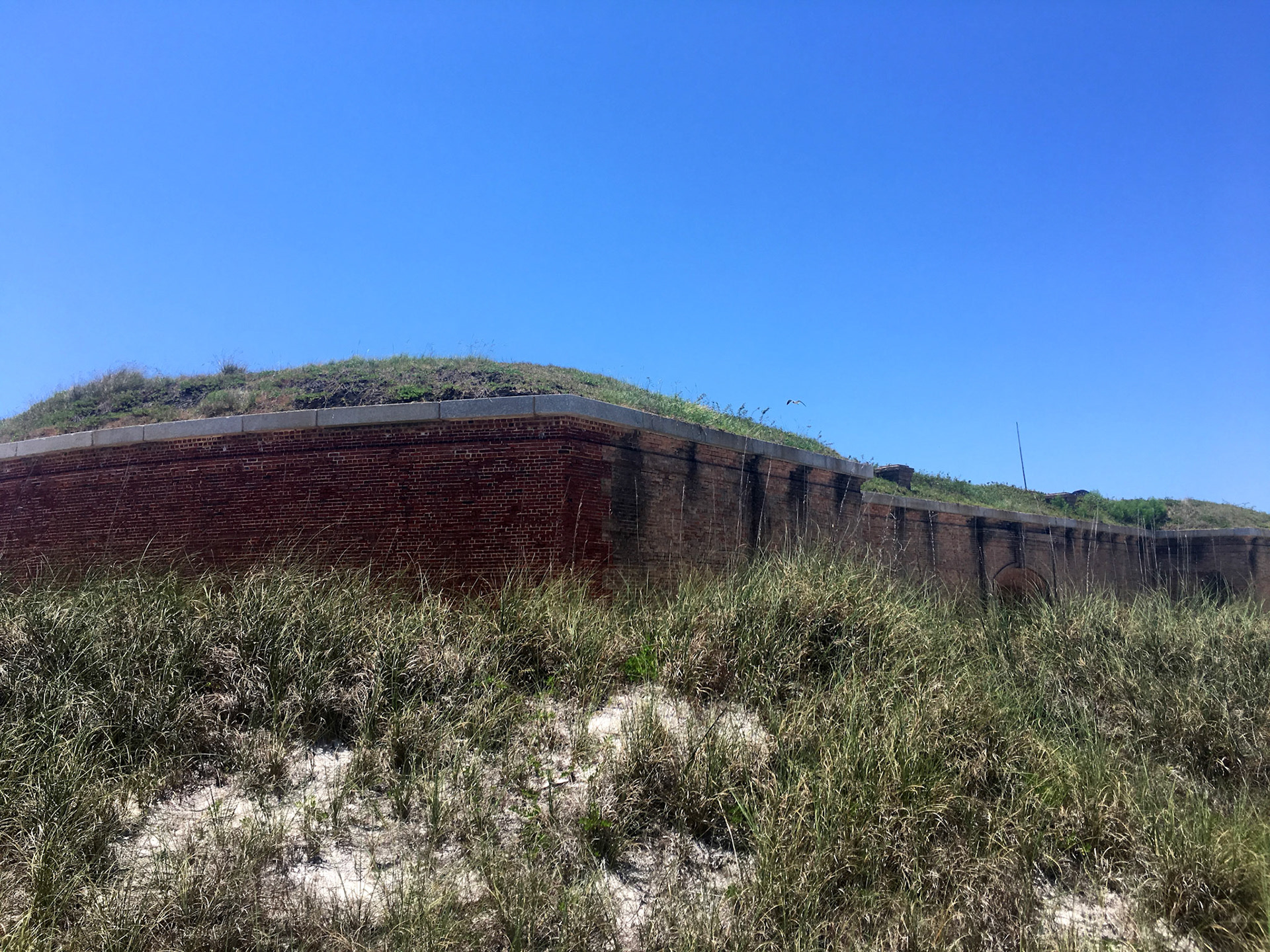
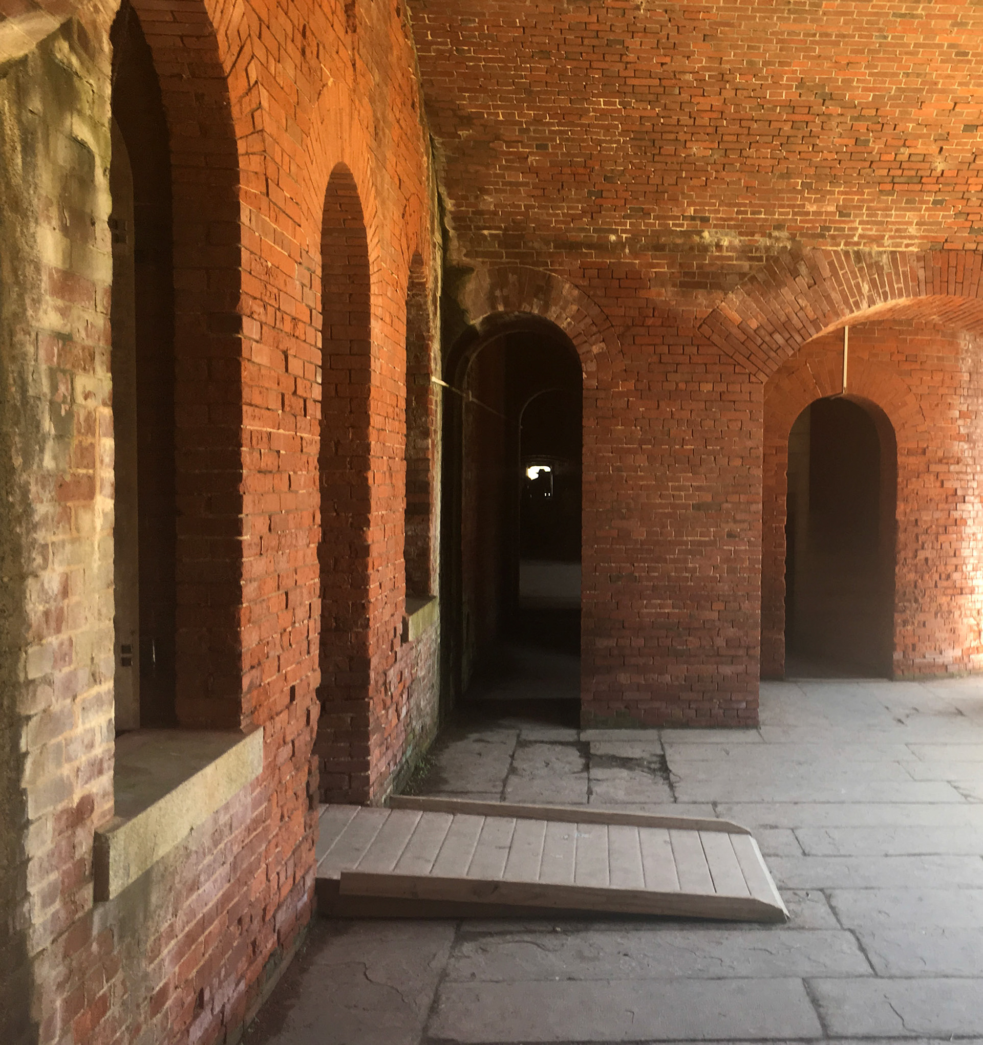
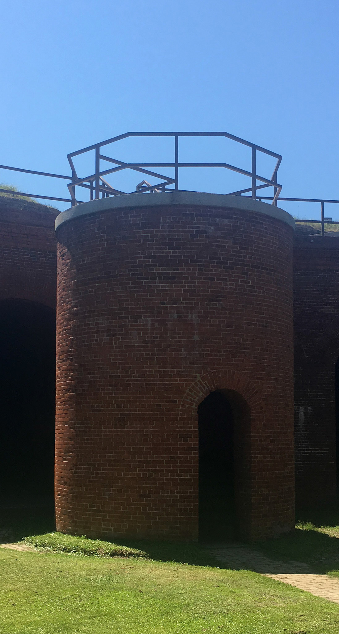
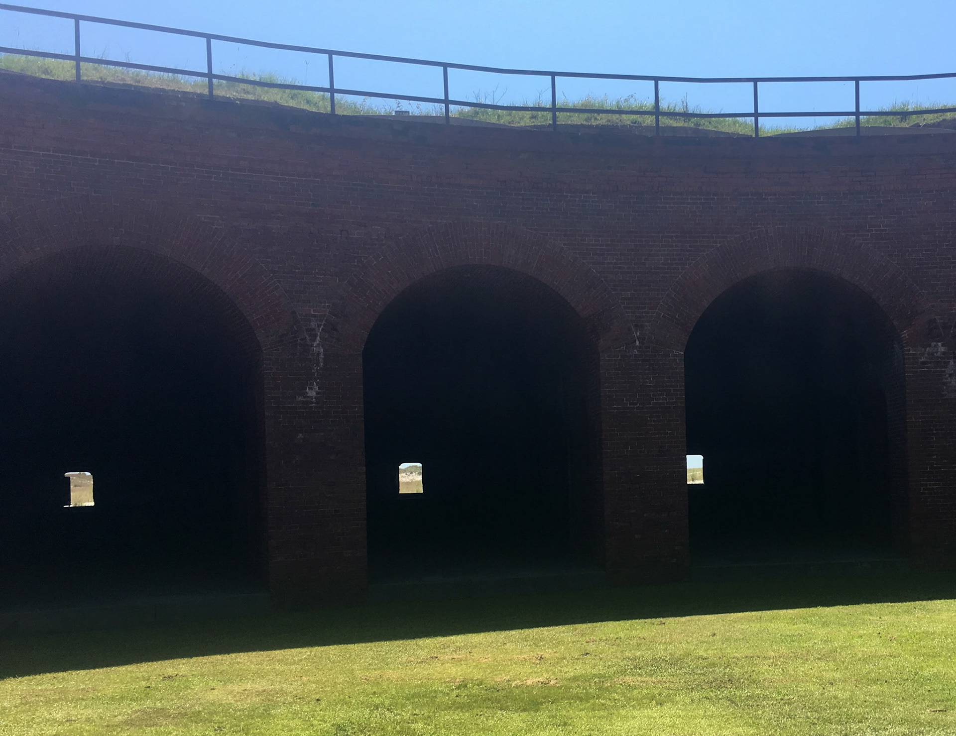
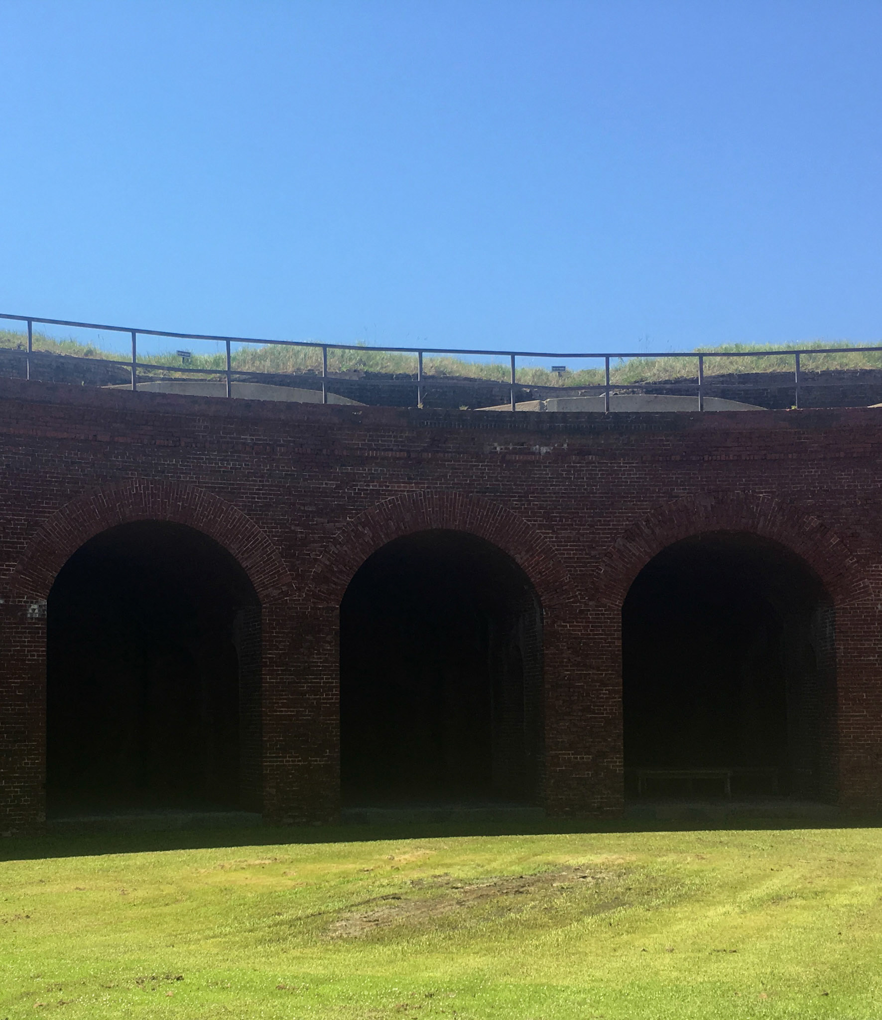
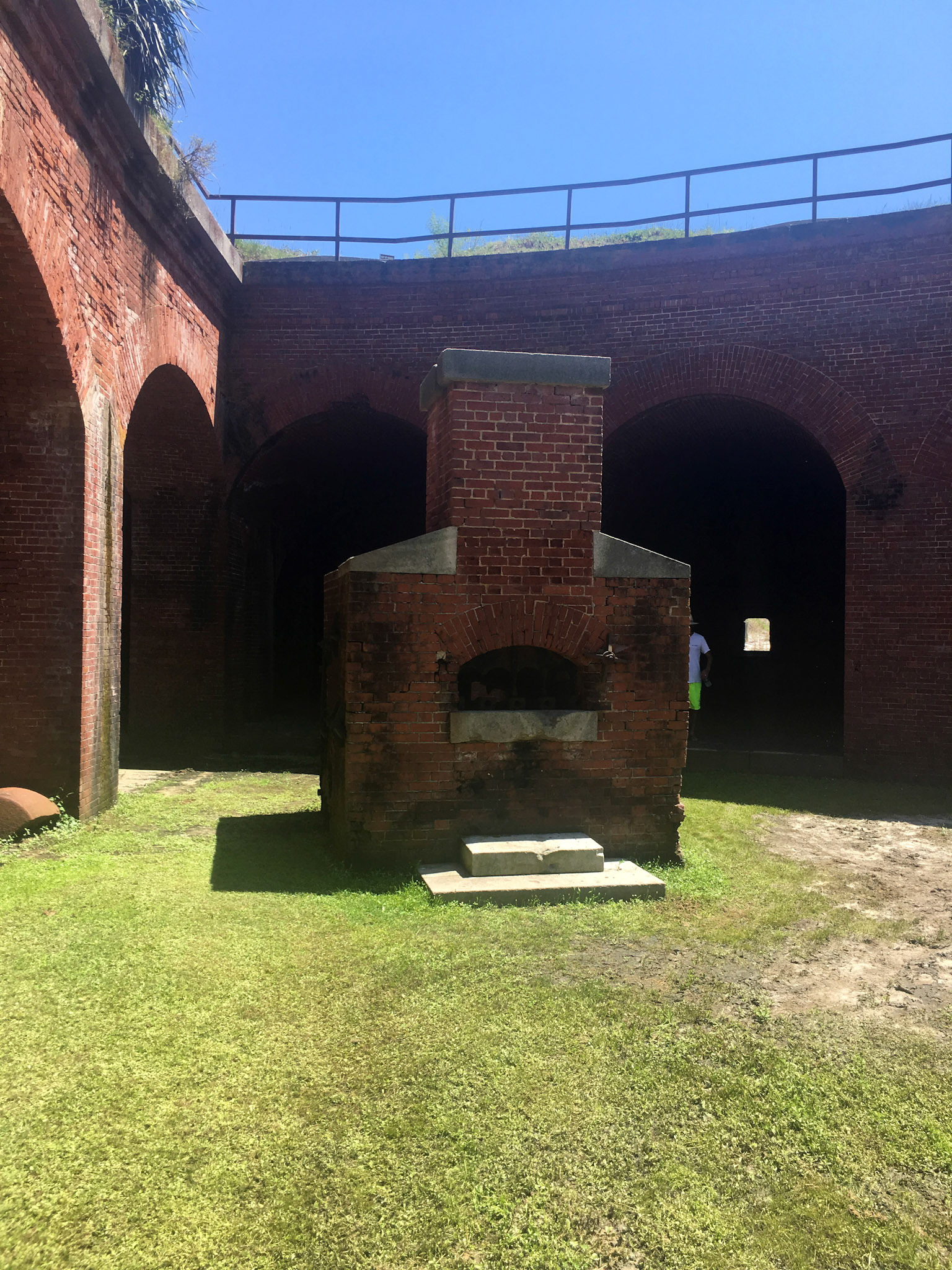
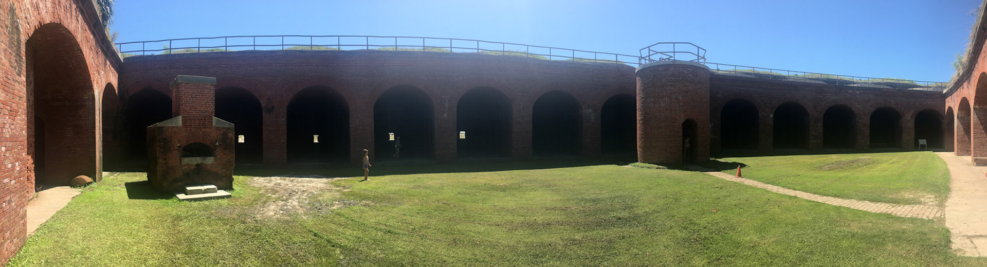
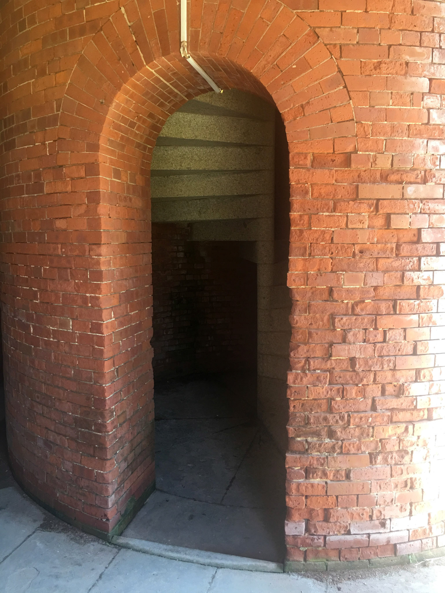
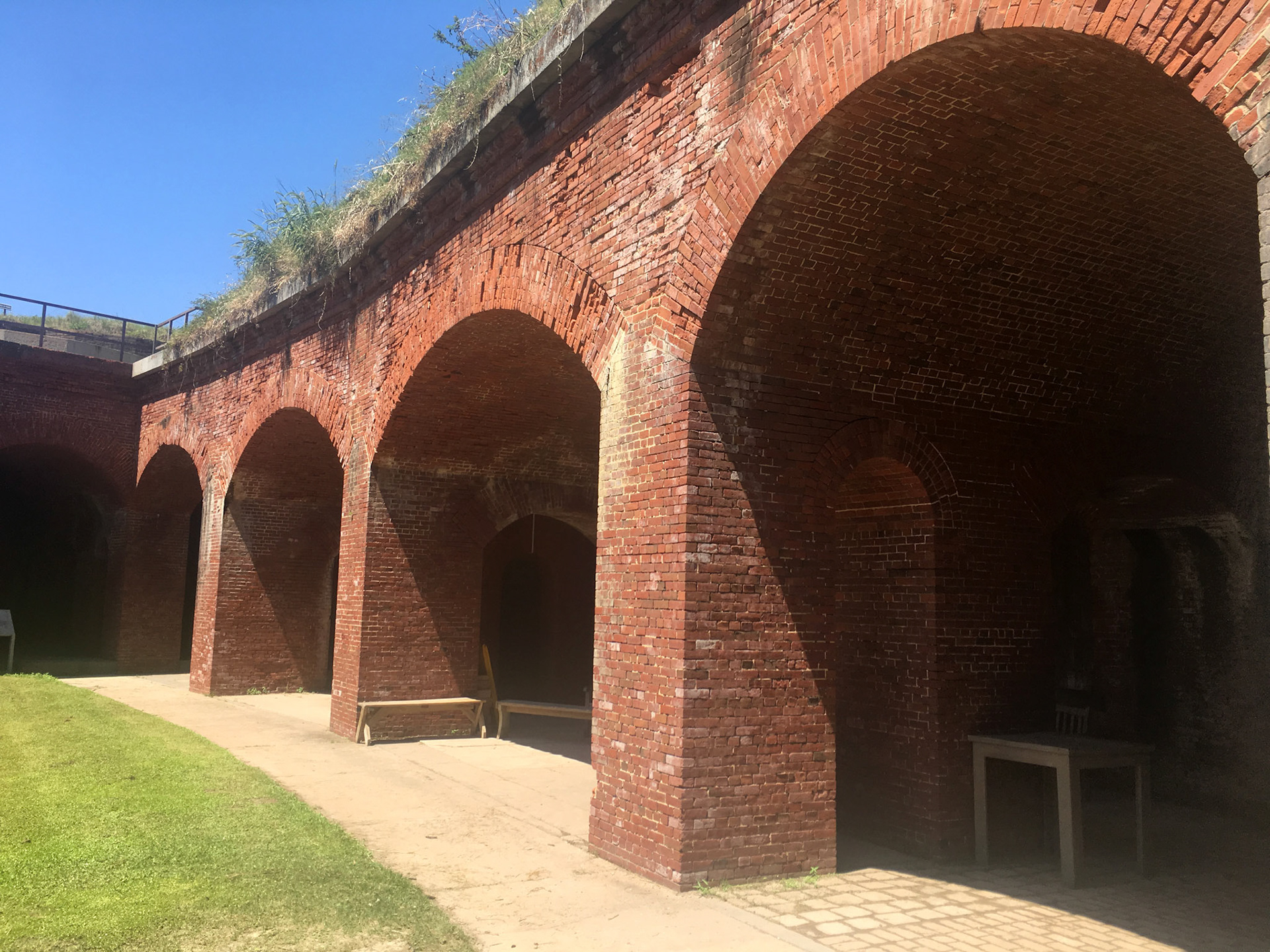
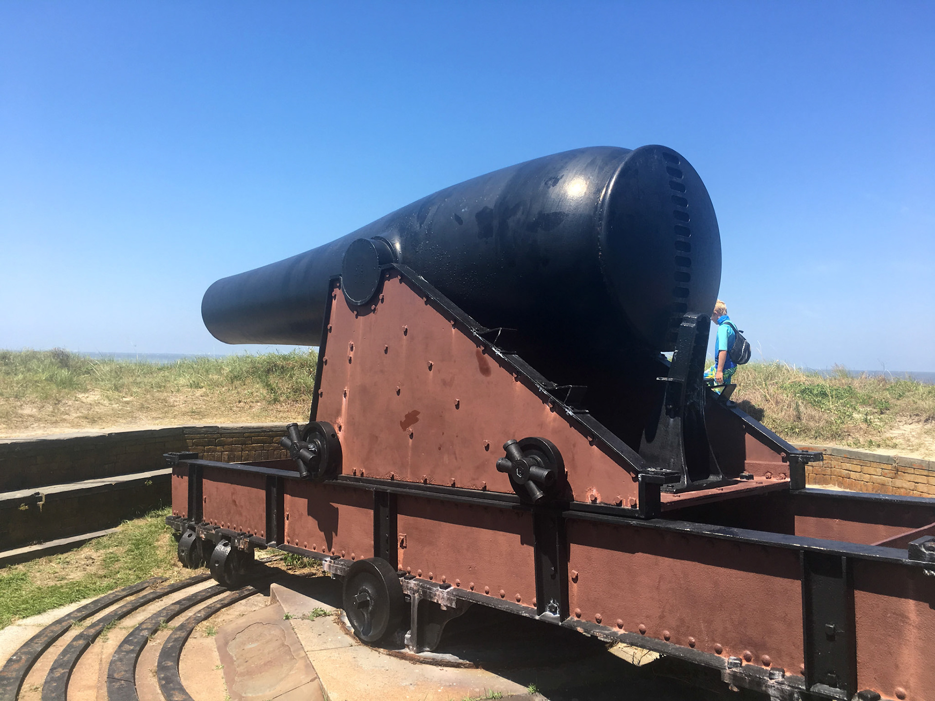
The fort’s design provides a 360-degree view of the surrounding water and land. The large casemates were designed to hold numerous cannons below while supporting a second upper tier of larger 15-inch guns, as pictured below. Arches along the east side of the fort served as shelter, magazines, and kitchen for the fort's garrison.
Bearrs, E. (1984). Historic Resource Study: Ship Island, Harrison County, Mississippi, Gulf Islands National Seashore, Florida/Mississippi. National Park Service, Department of Interior. Denver: U.S. Government Printing Office.
Bearss, E. (1984). Historic Structure Report: Administrative and Historical Data Sections; Fort on Ship Island “Fort Massachusetts” 1857-1935, Gulf Islands National Seashore, Harrison County, Mississippi. National Park Service, Department of Interior. Washington, D.C.: U.S. Government Printing Office.