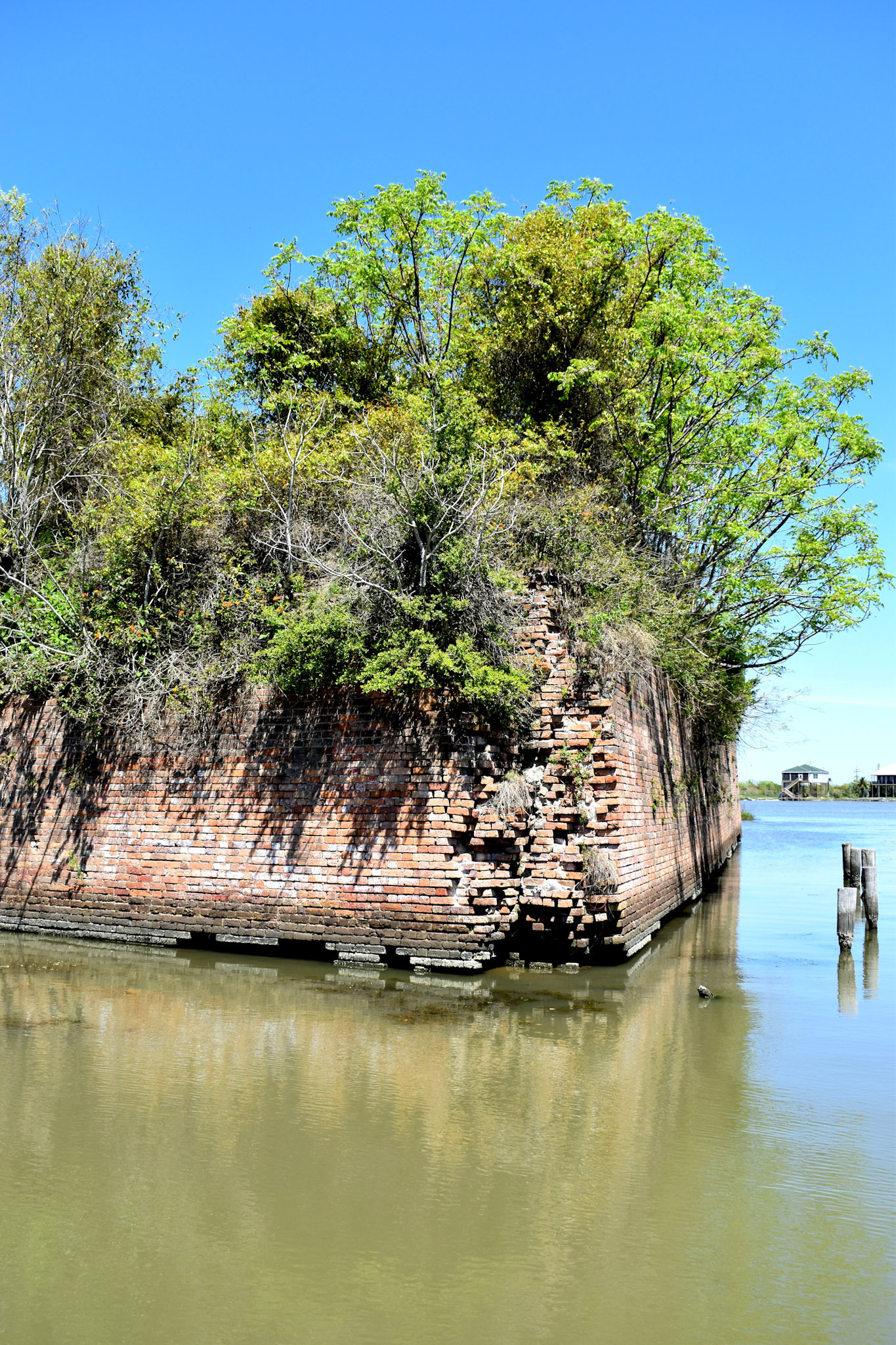
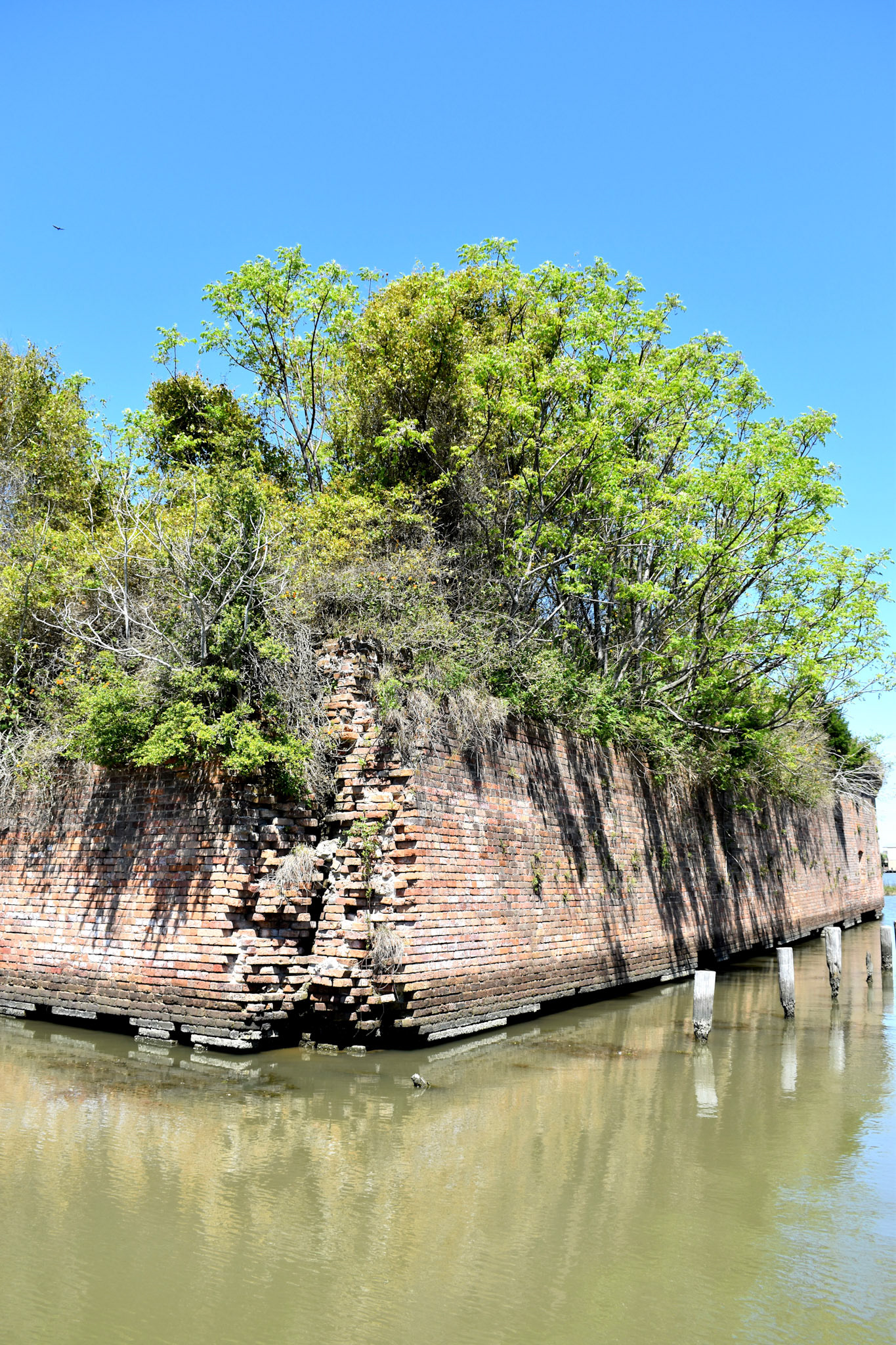
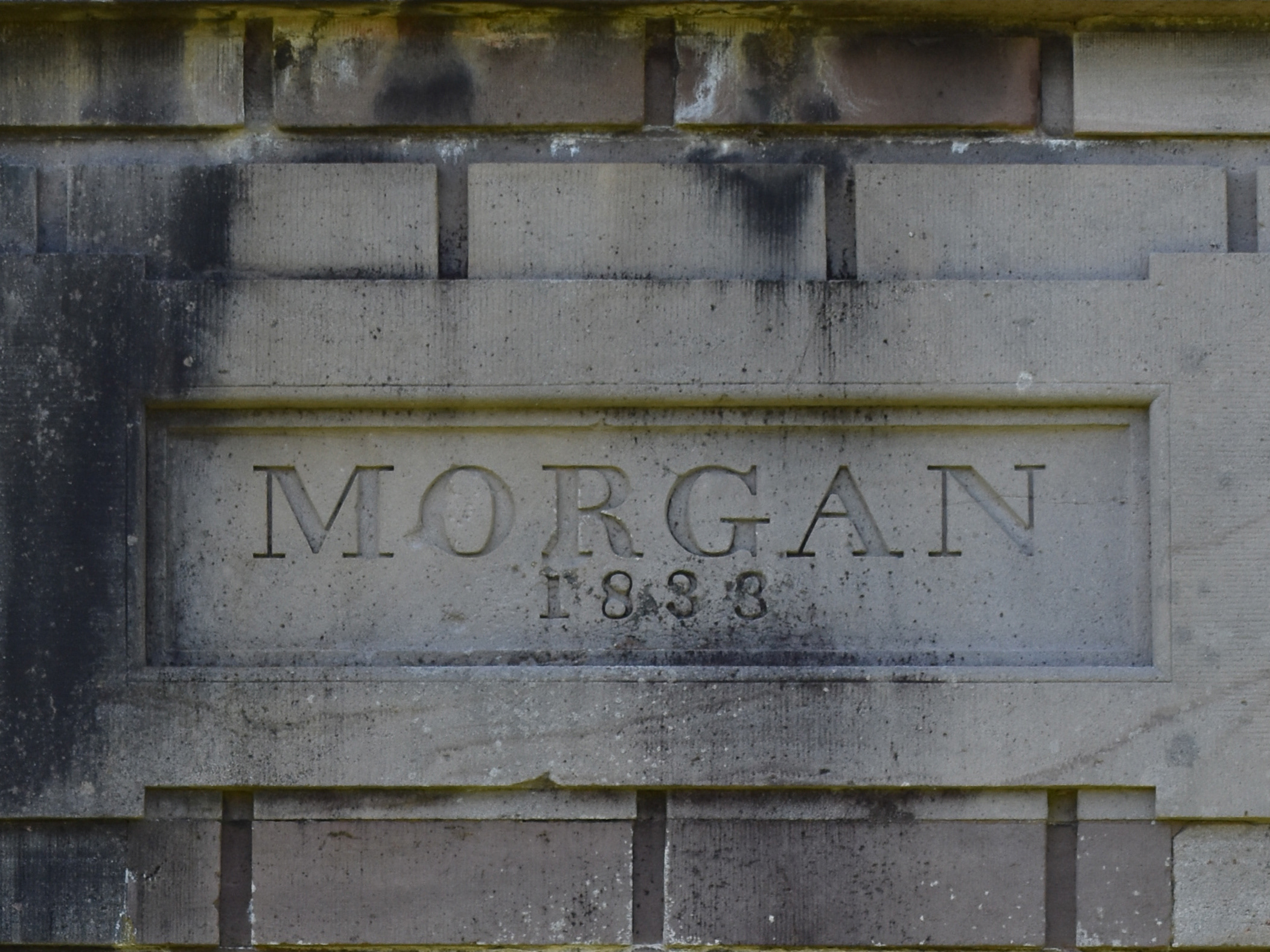
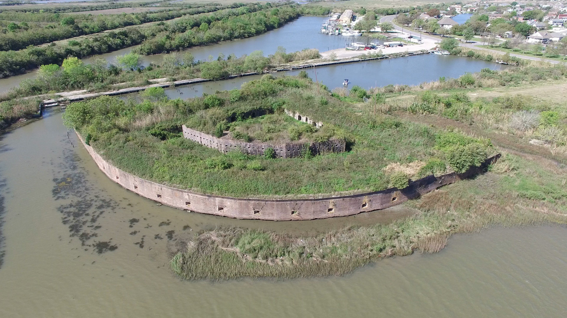
The United States built this fortification in 1822, seven years after the British forces invaded the city of New Orleans, towards the end of the War of 1812. It was initially named Fort Wood it was renamed Fort Macomb in 1851, after General Alexander Macomb, former Chief of Engineers and second Commanding General of the United States Army.
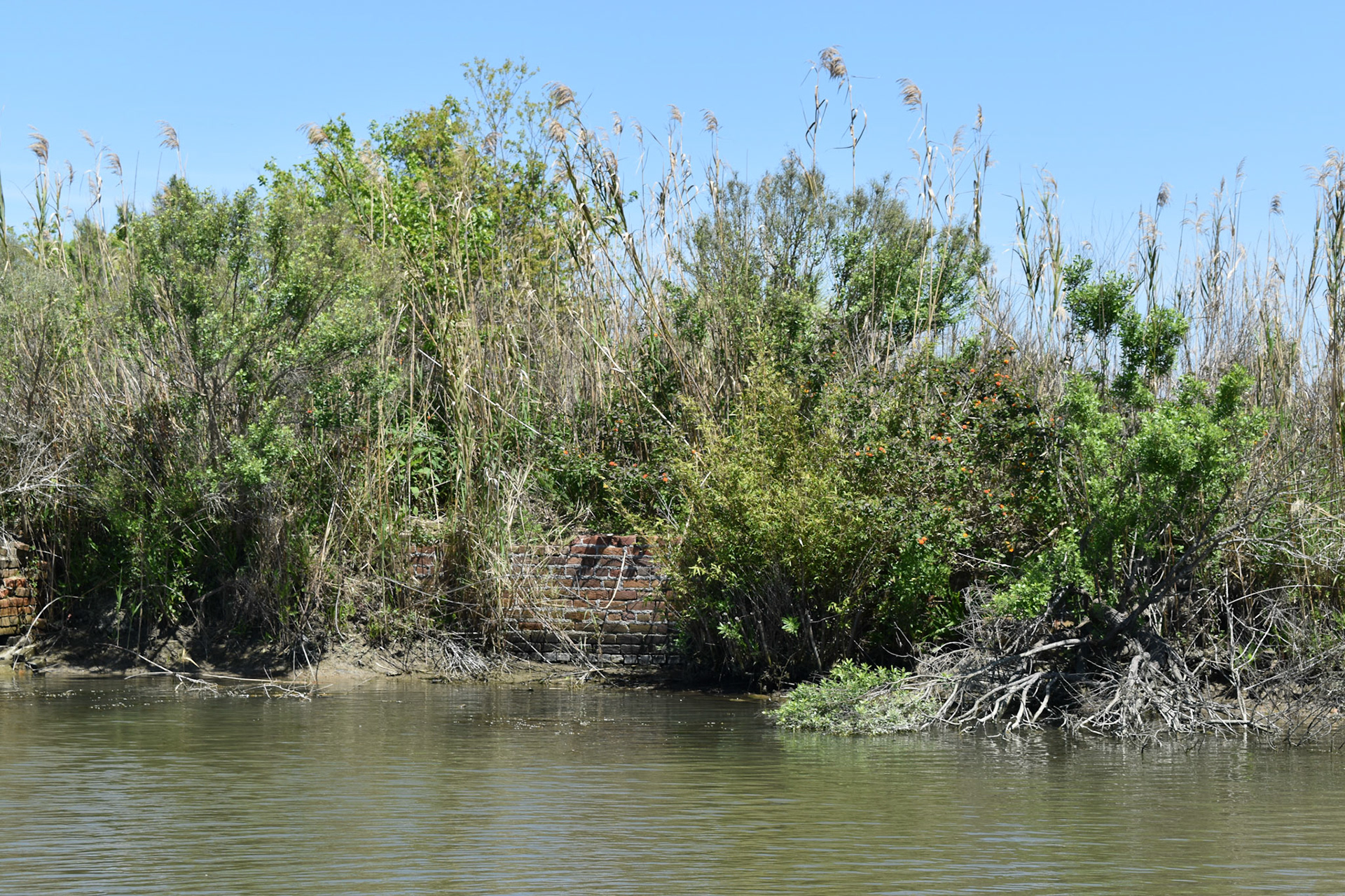
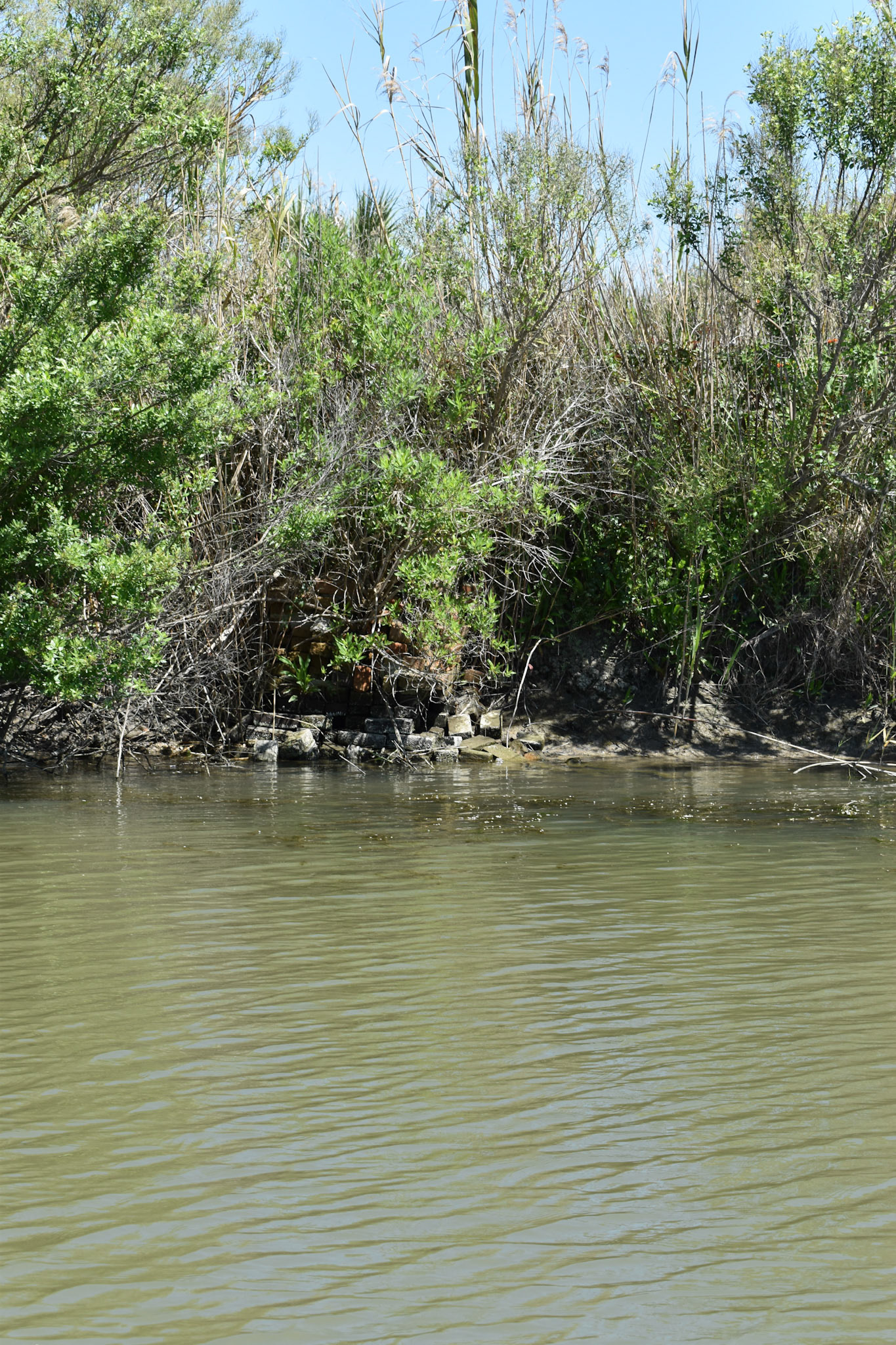
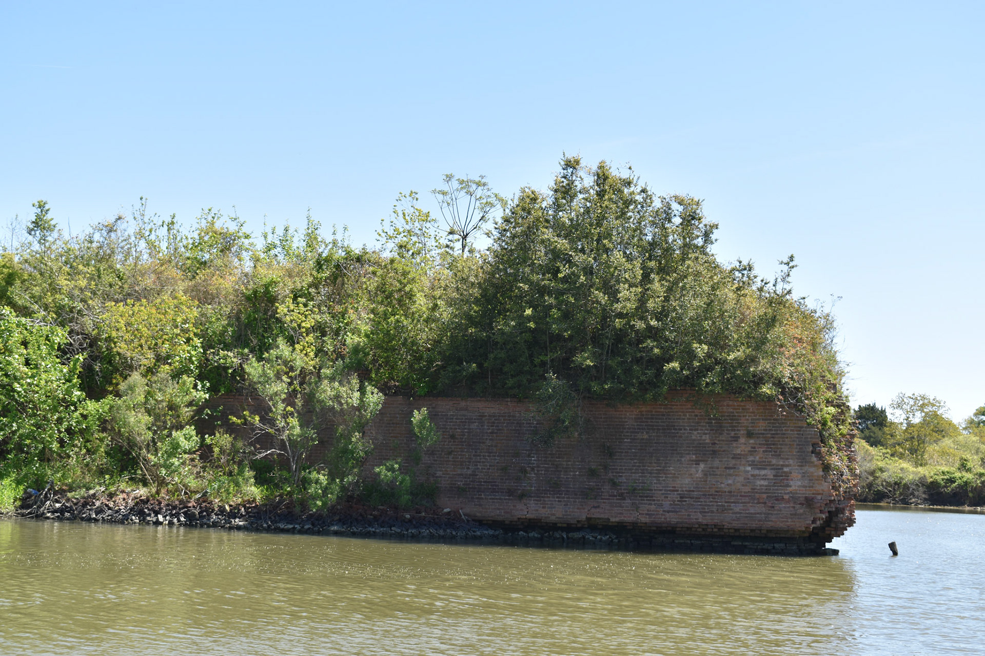
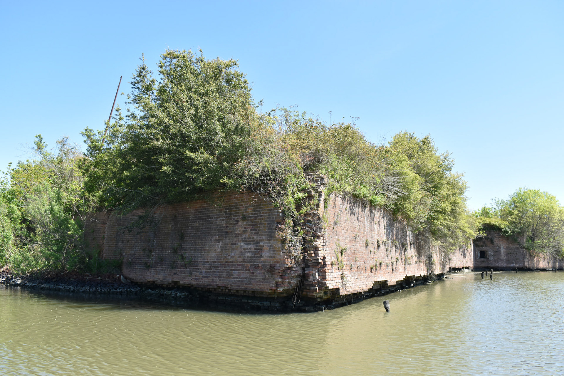
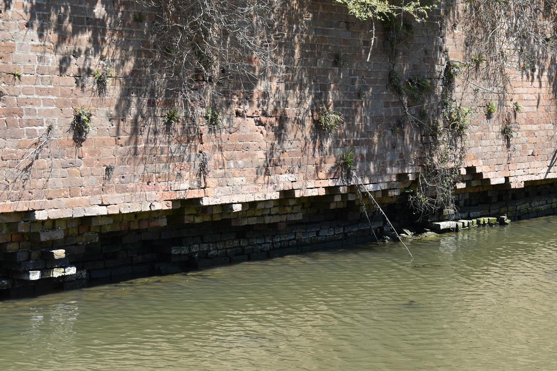
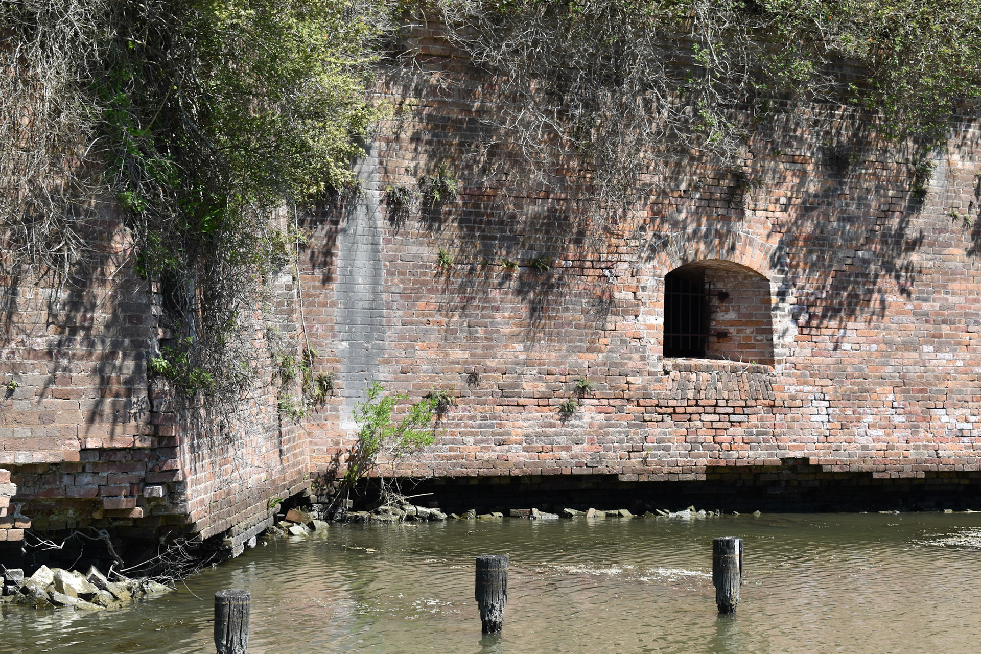
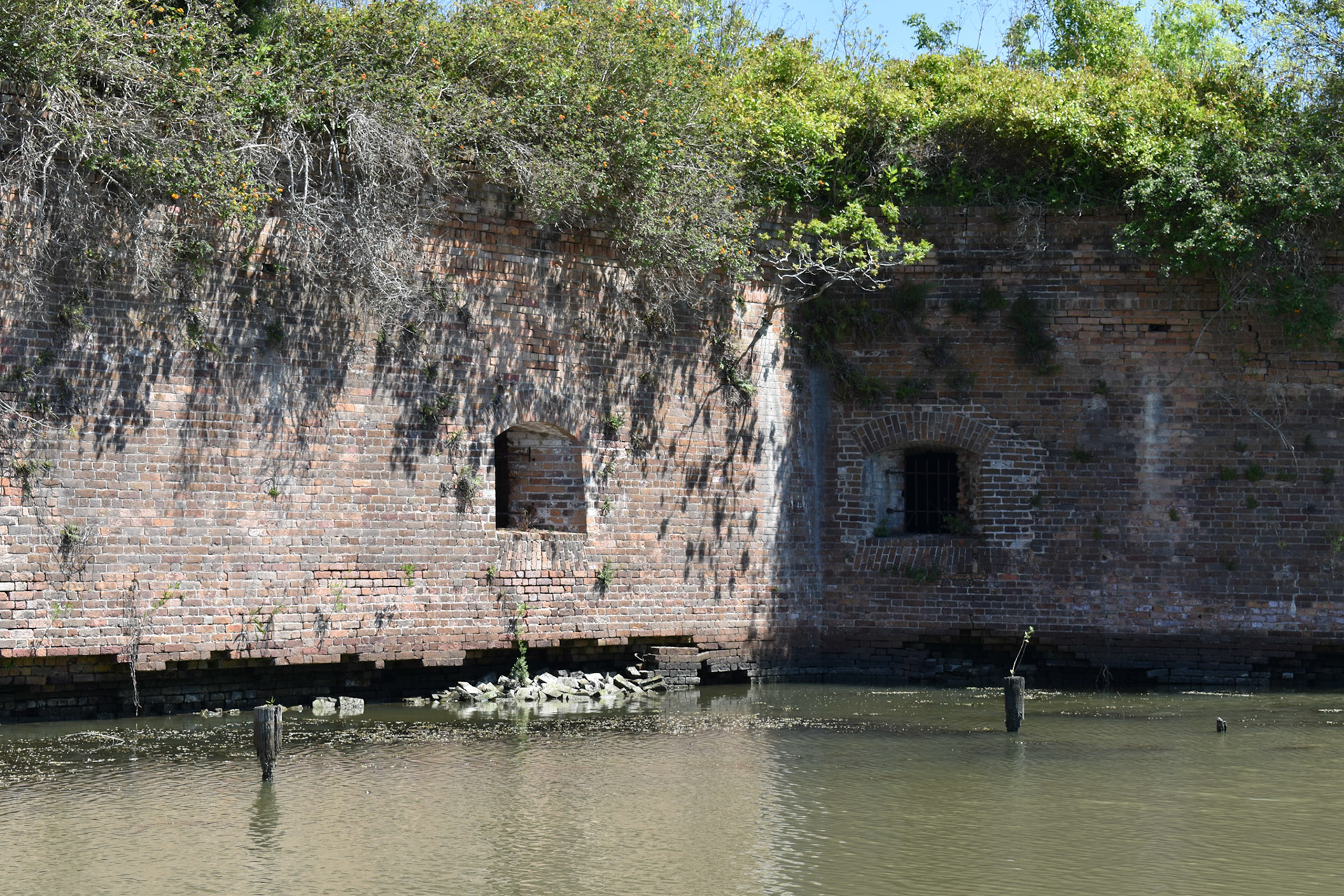
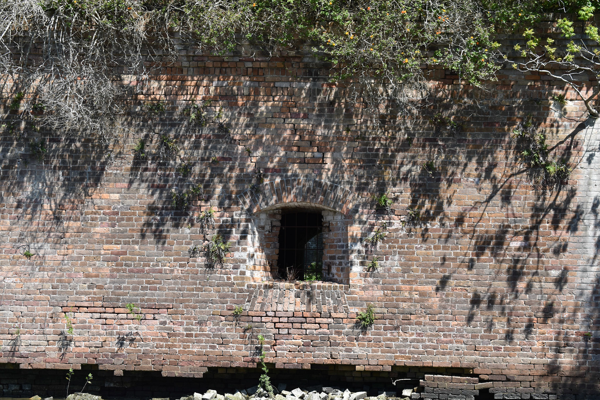
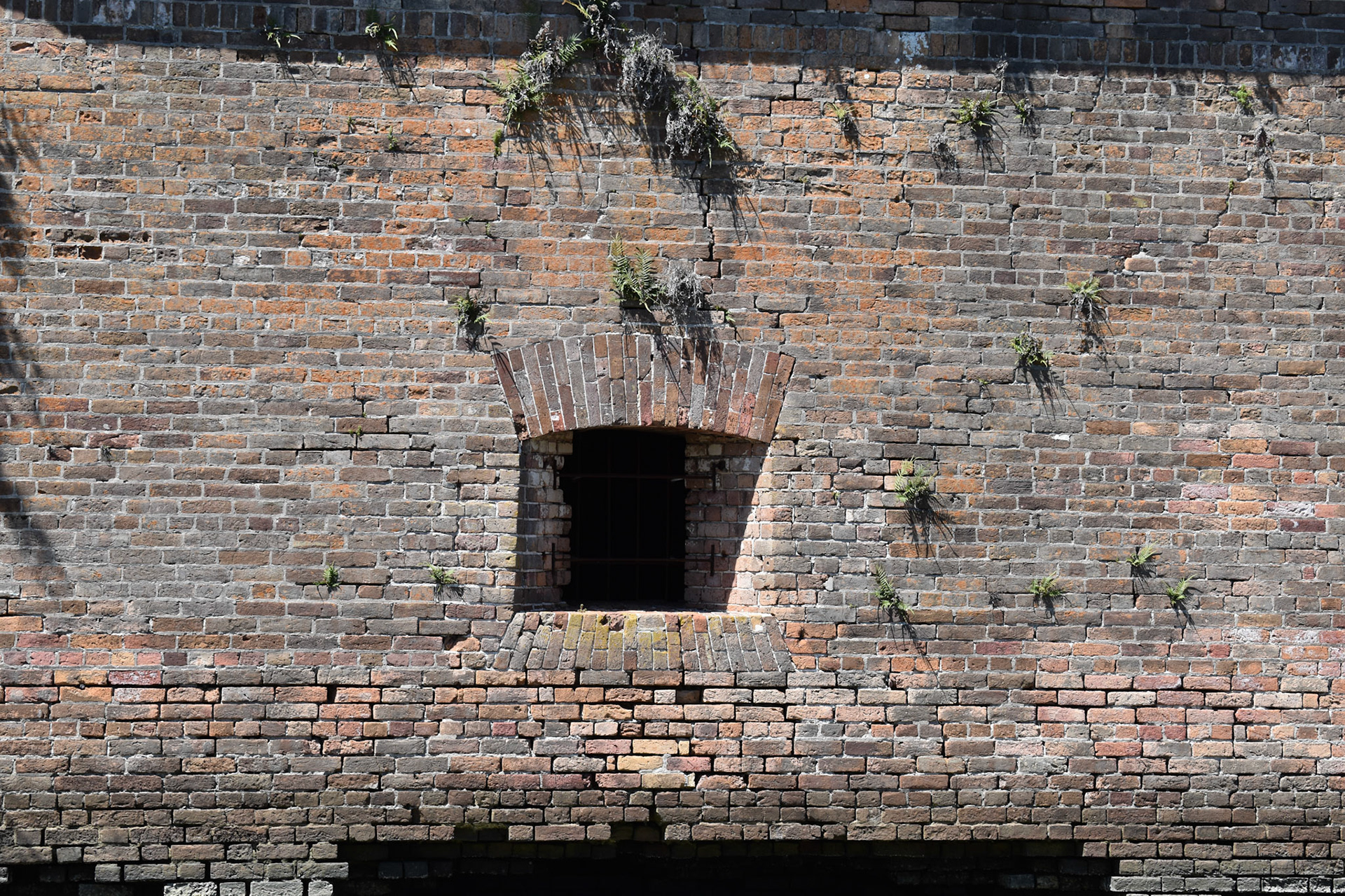
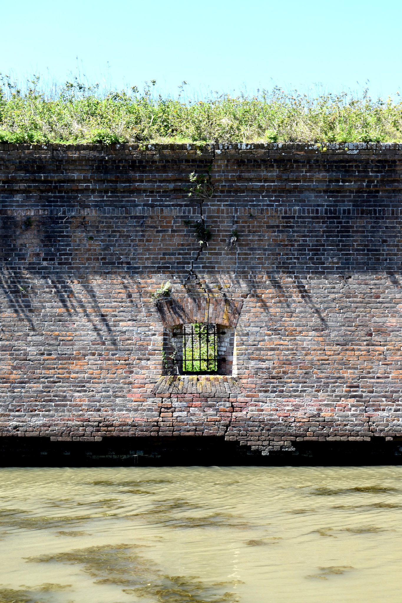
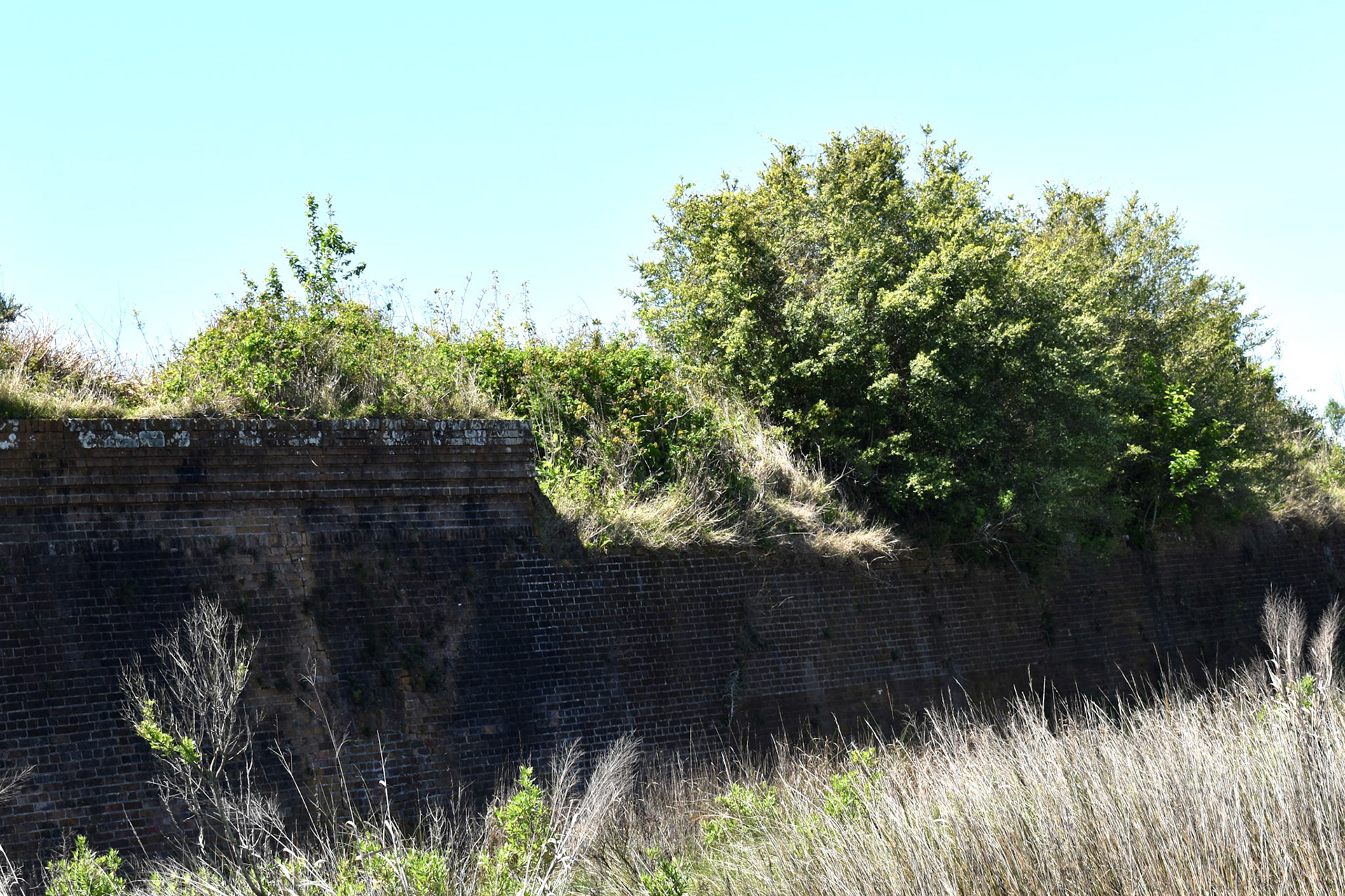
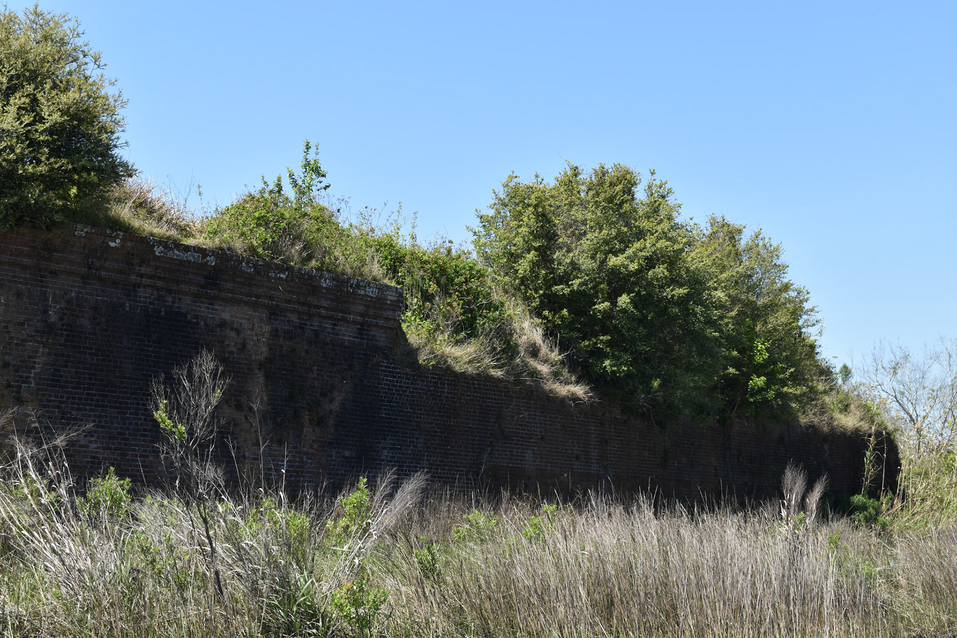
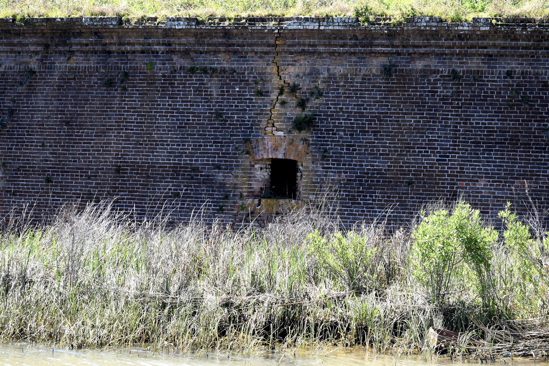
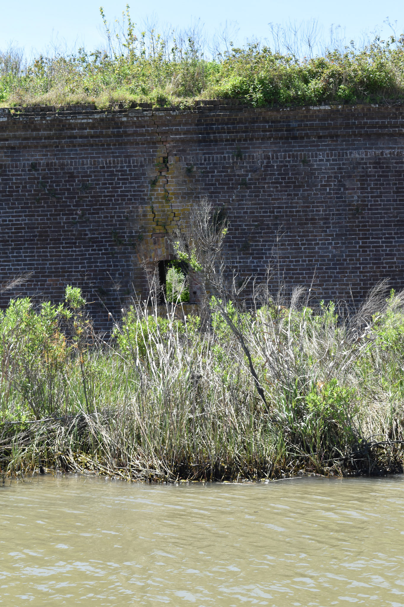
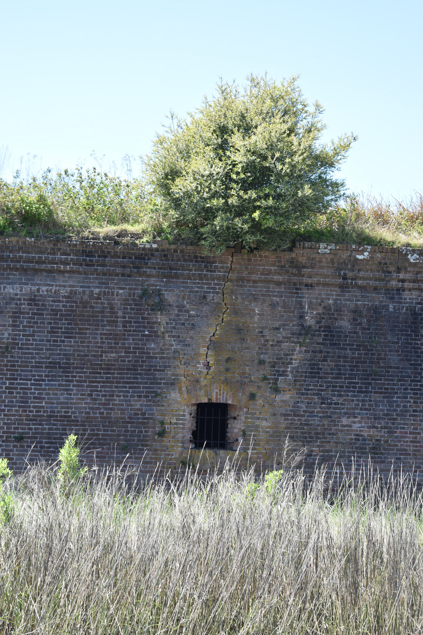
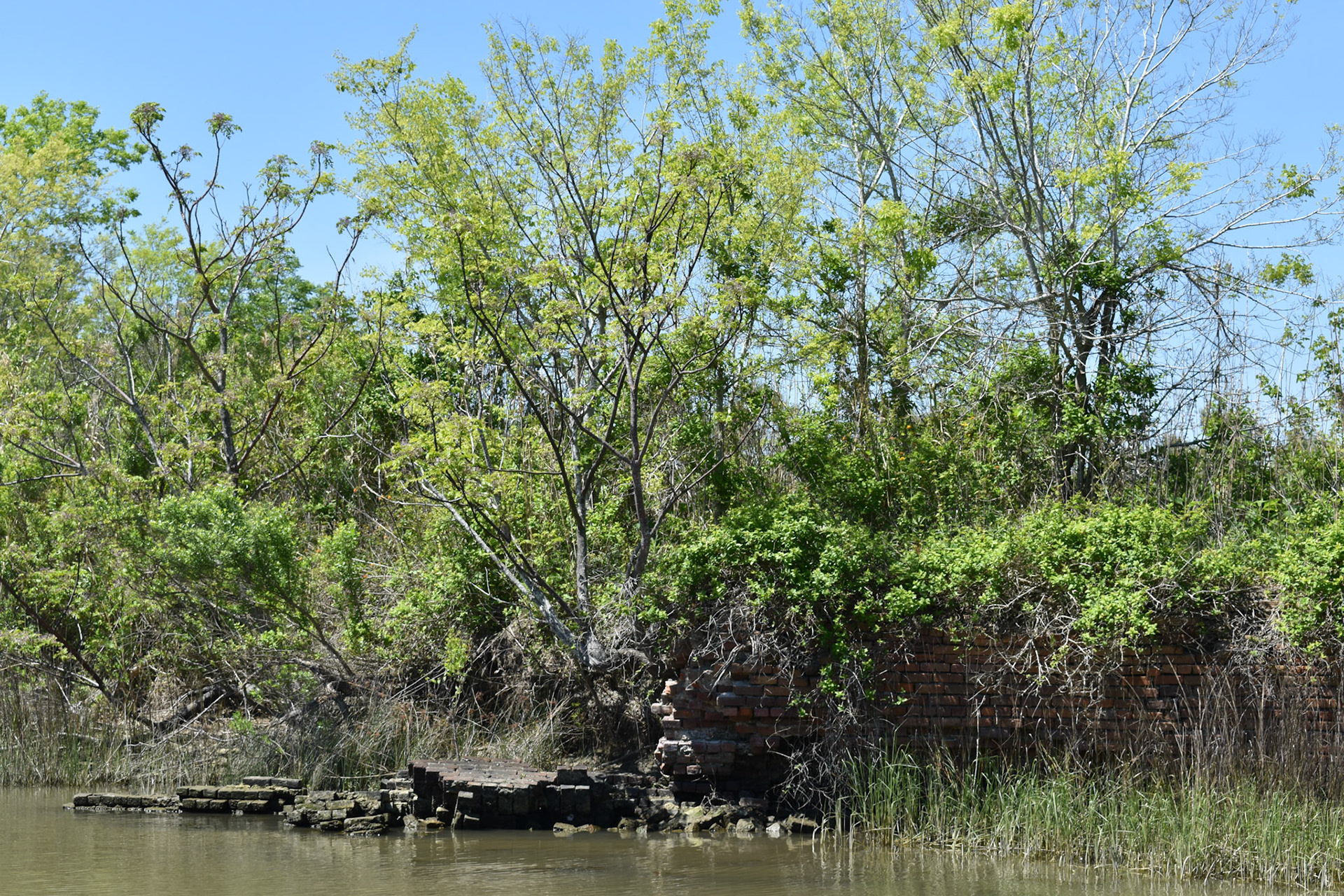
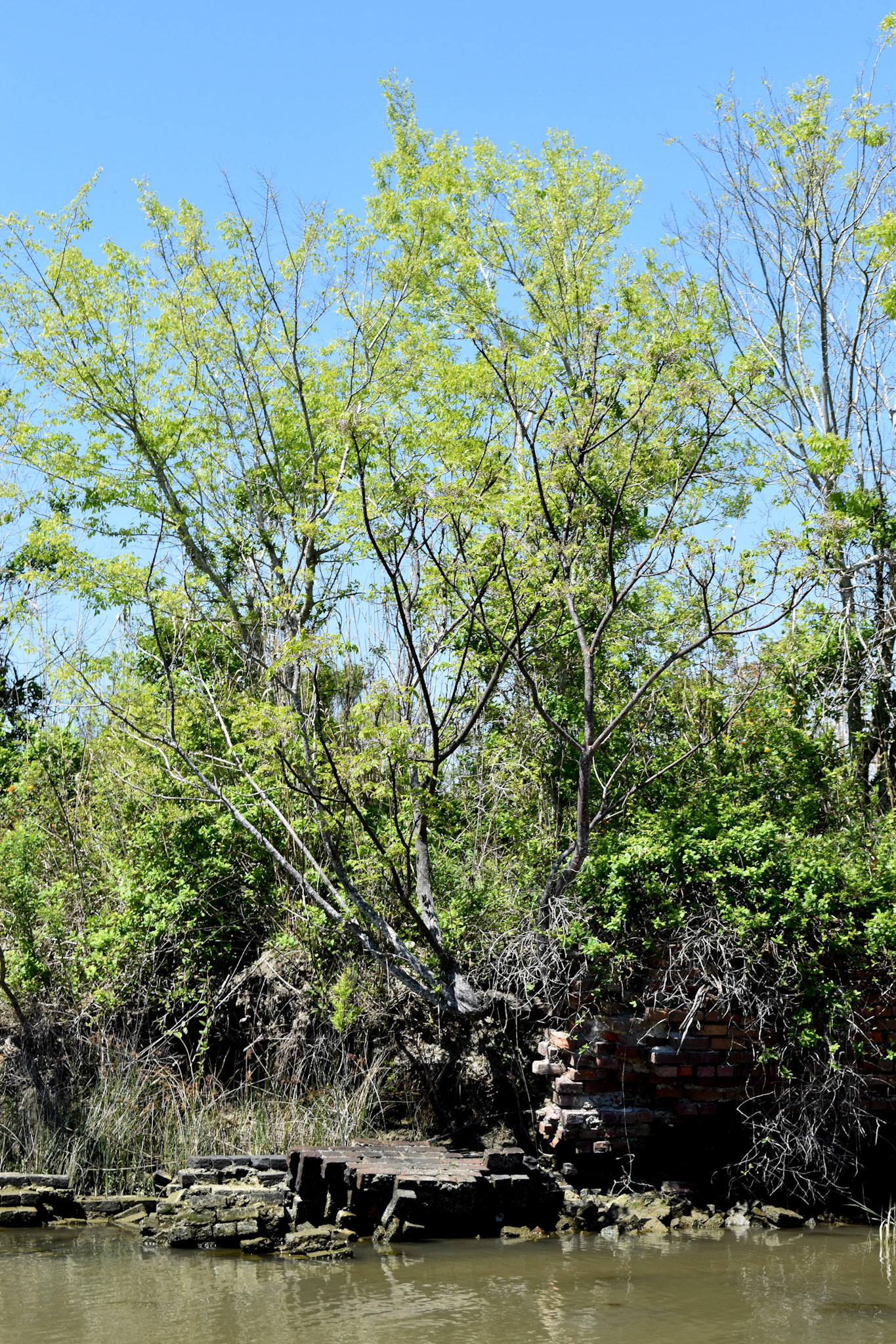
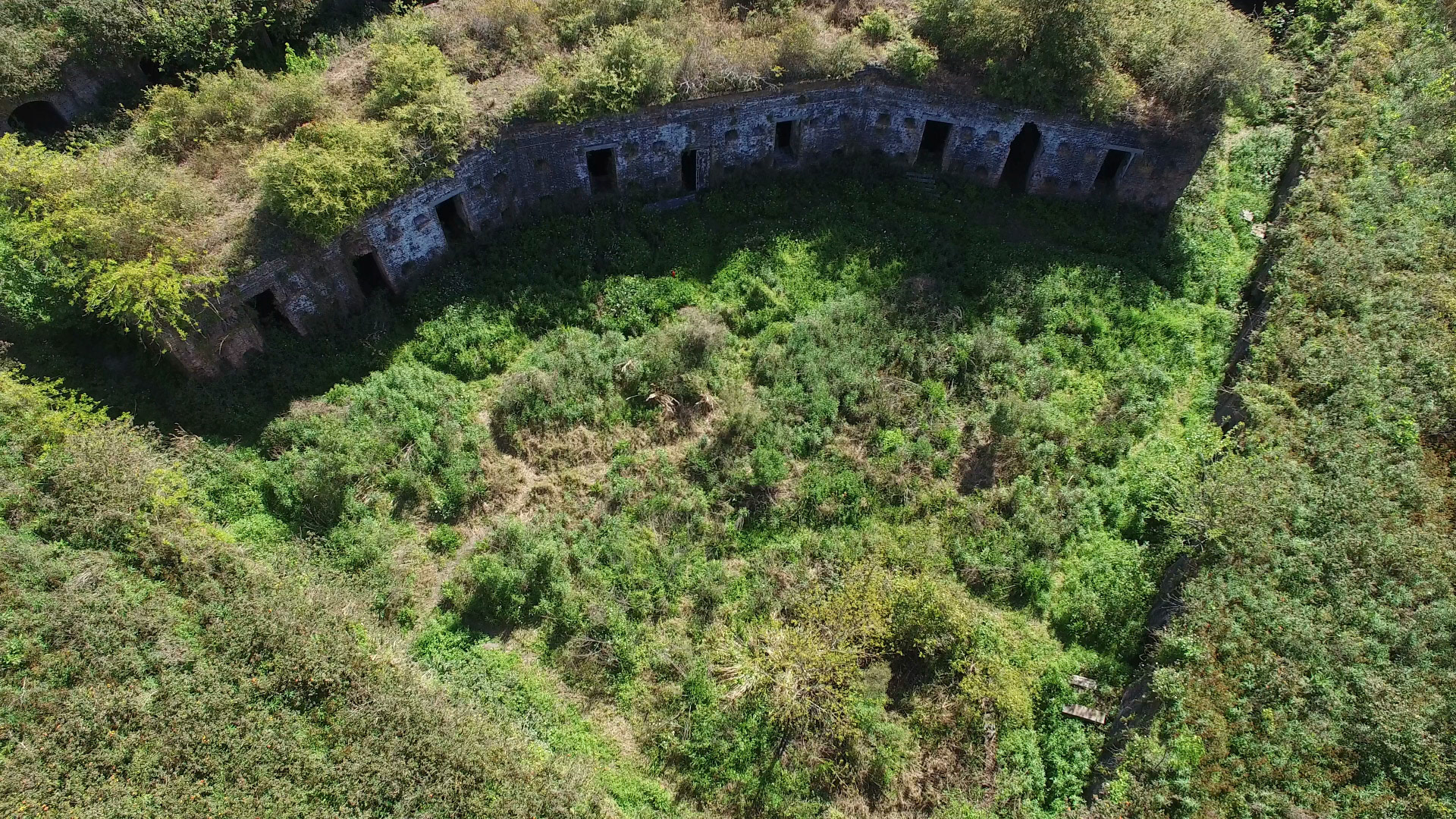
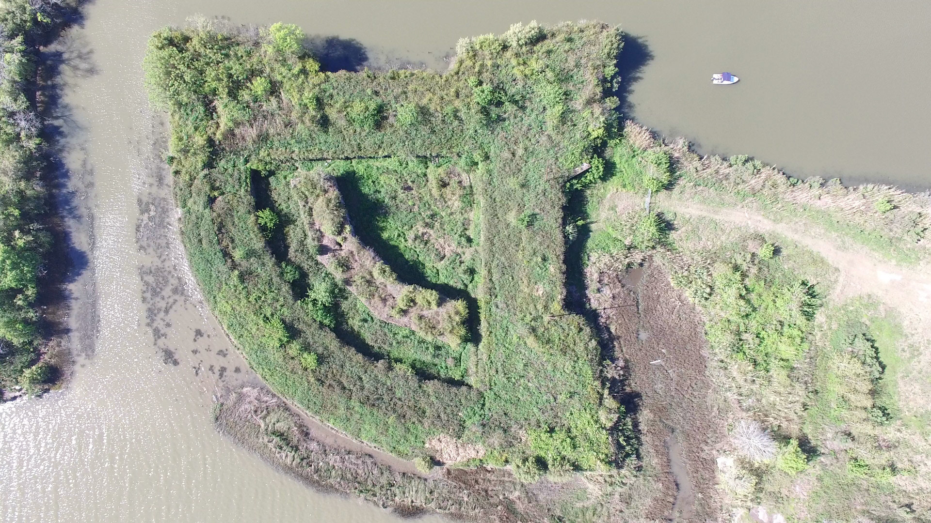
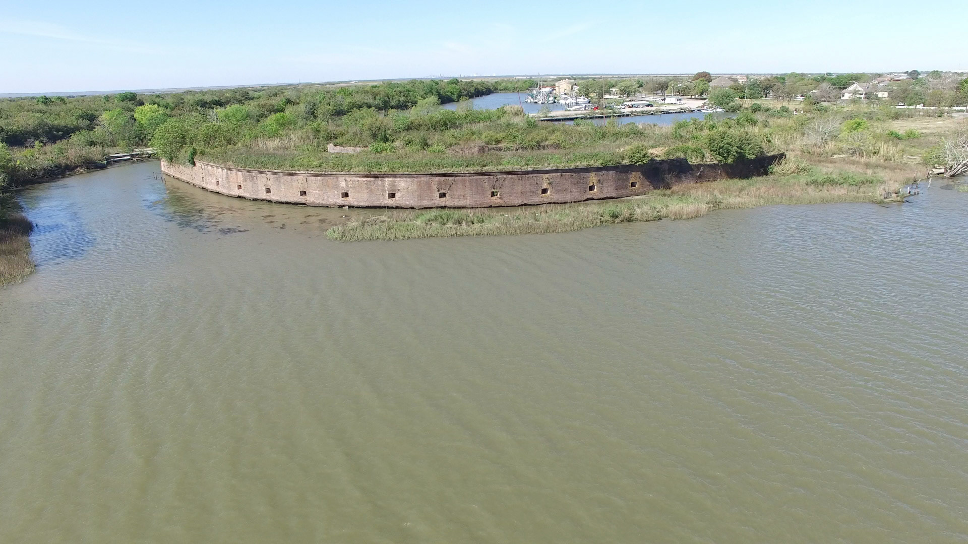
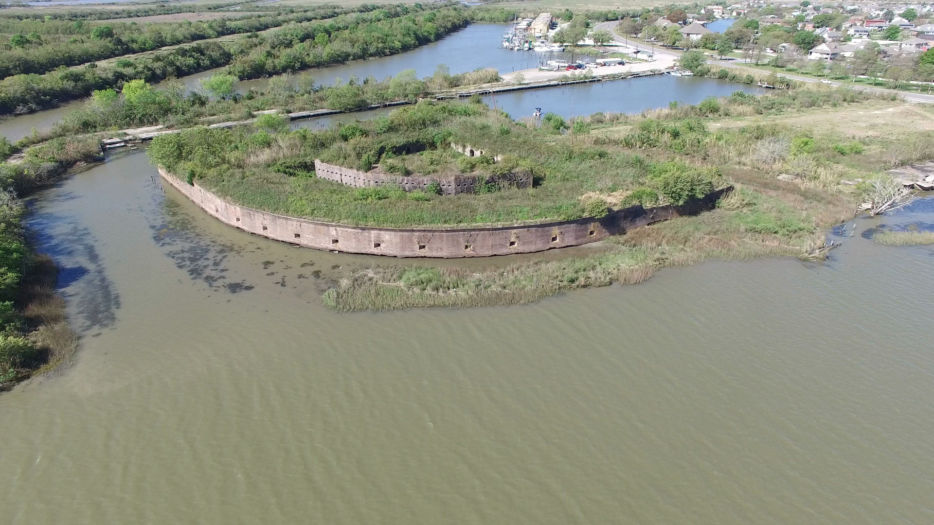
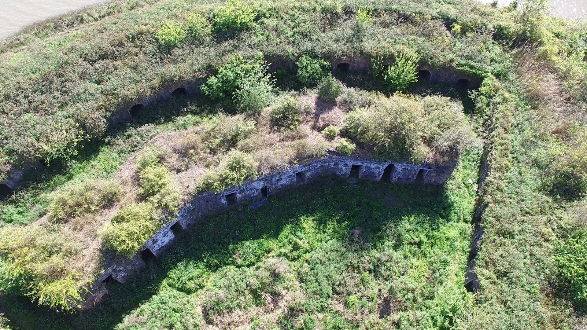
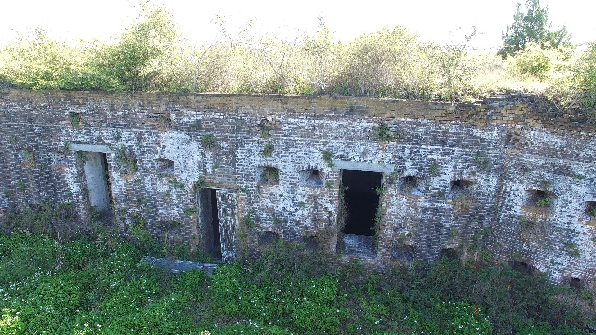
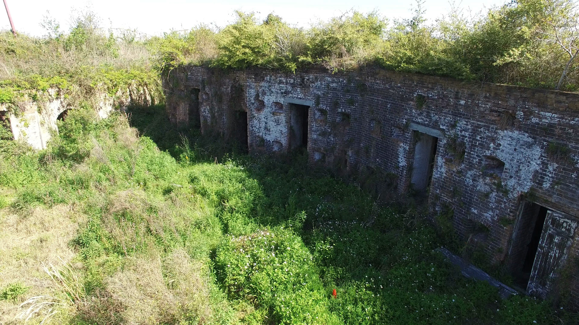
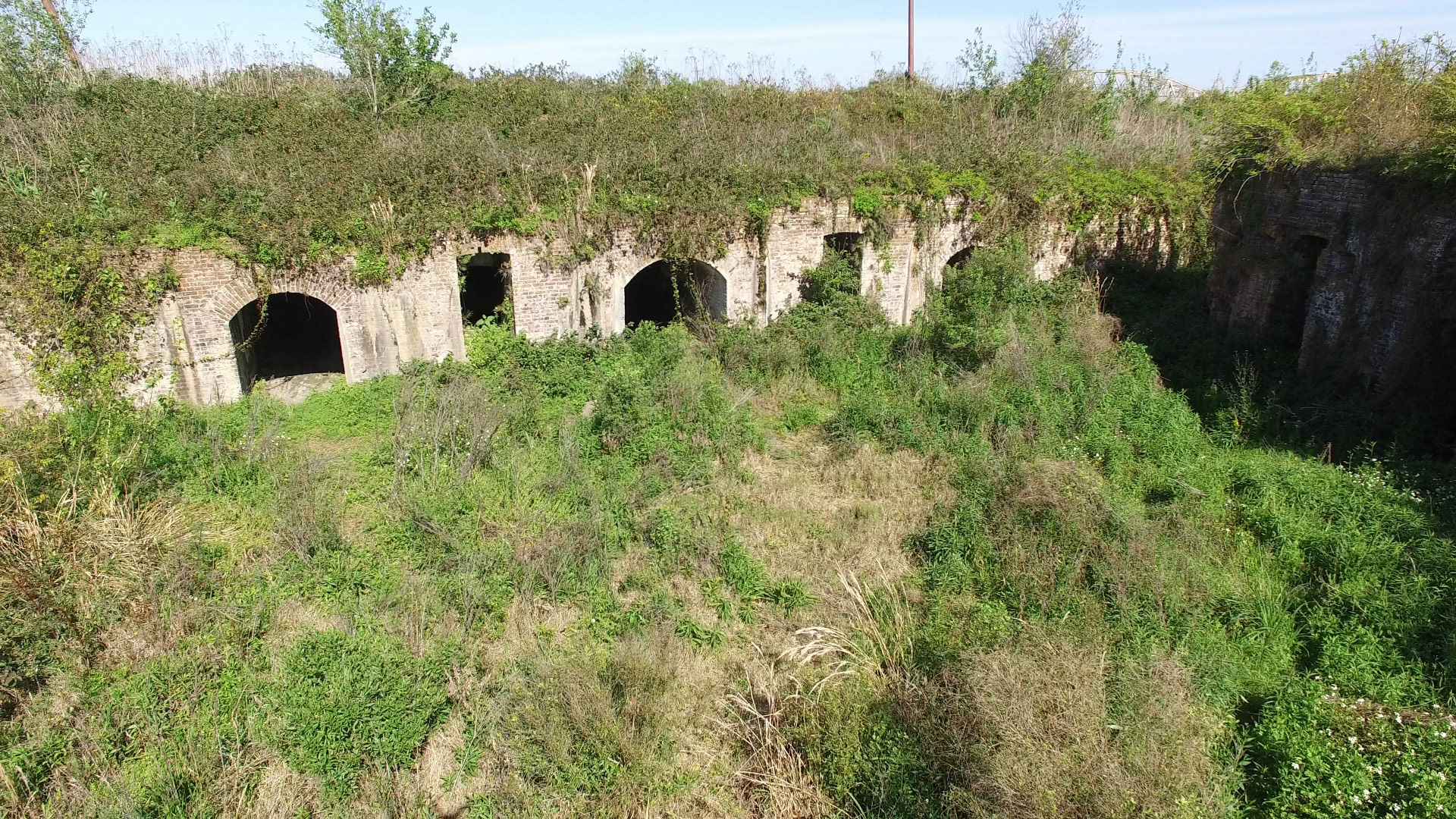
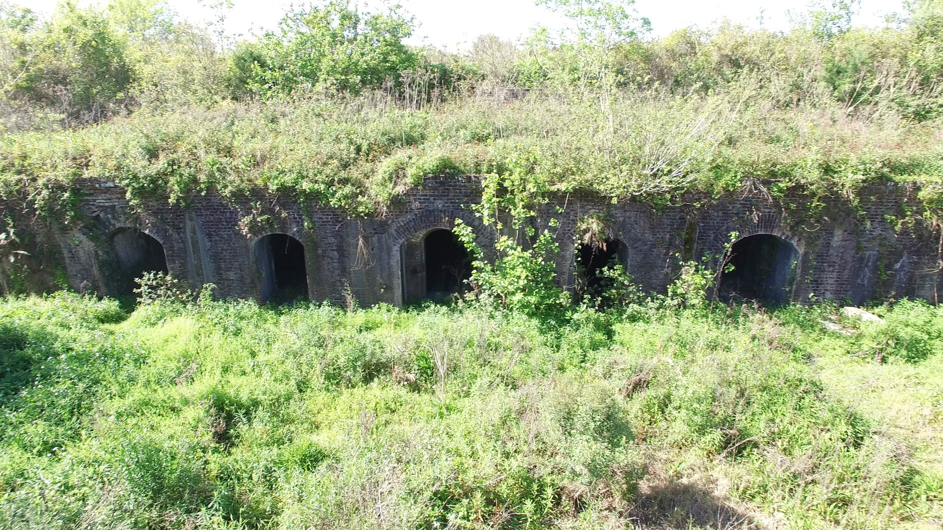
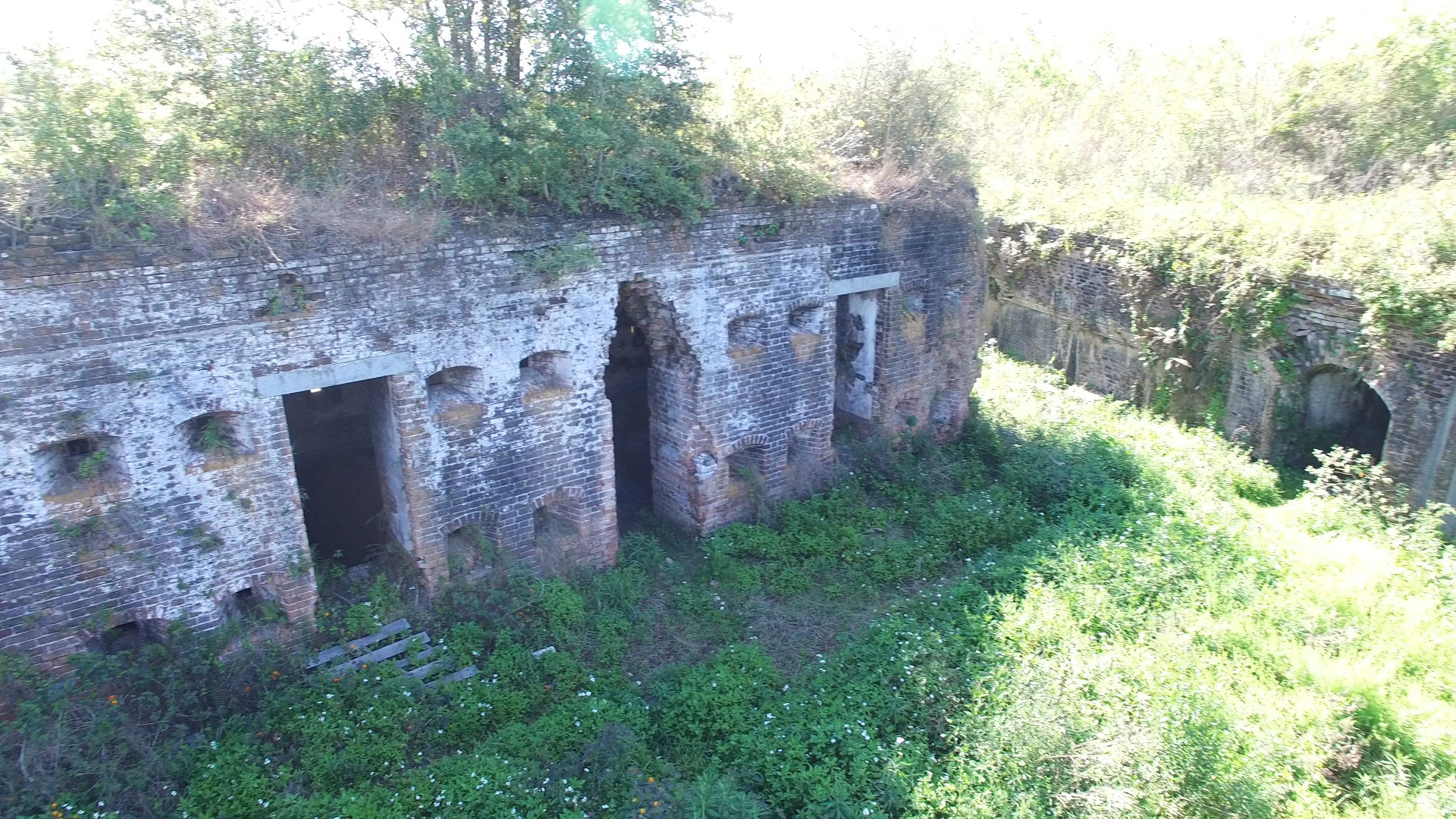
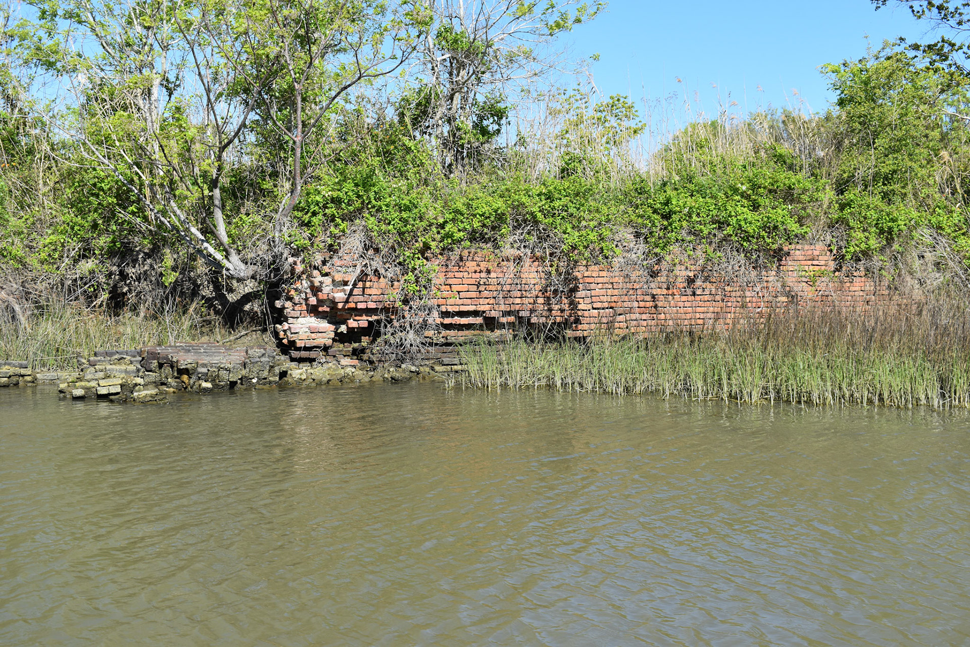
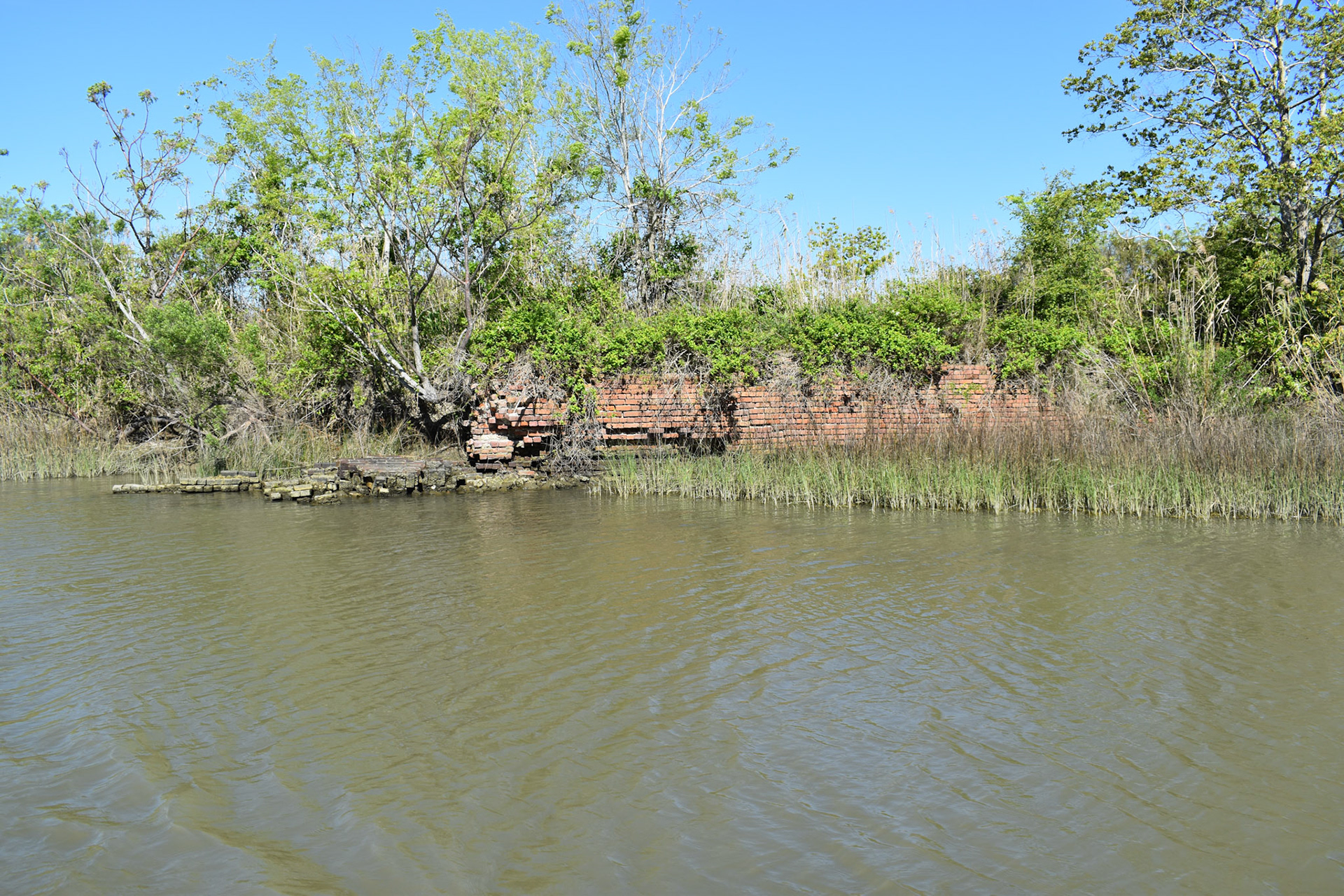
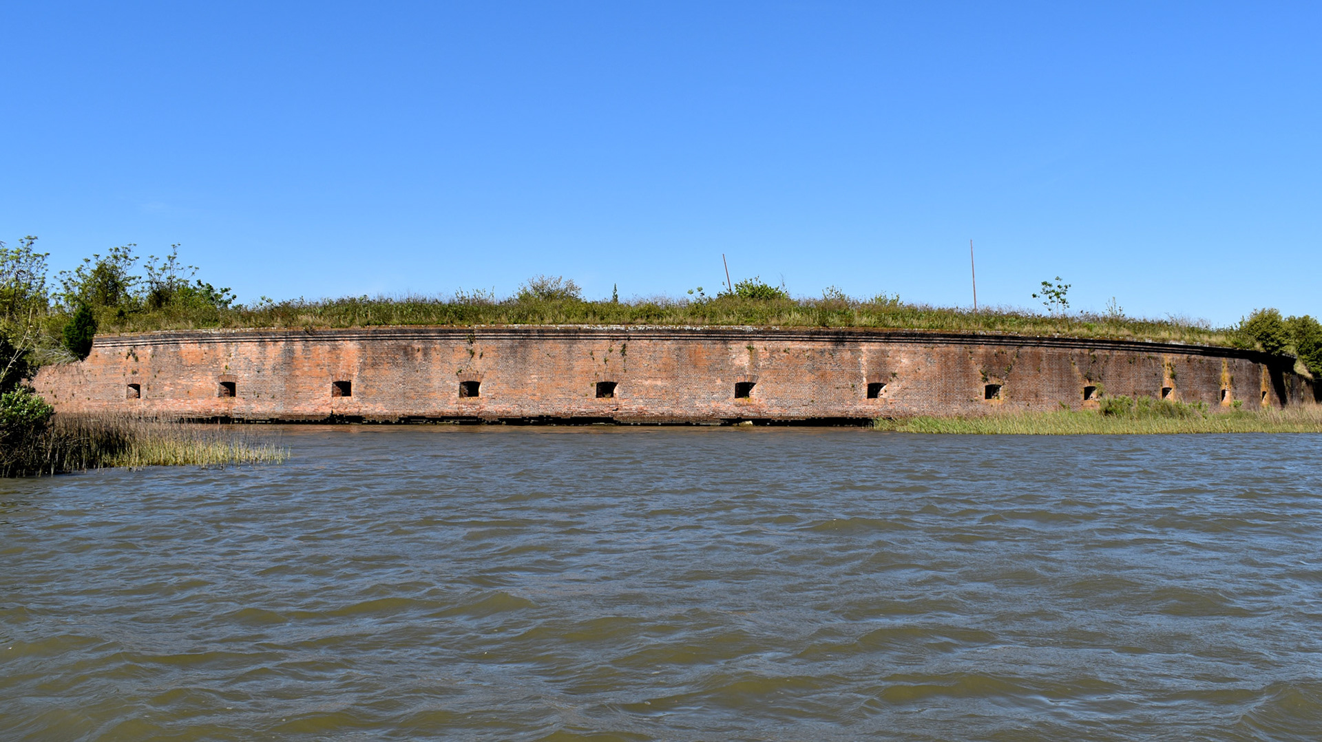
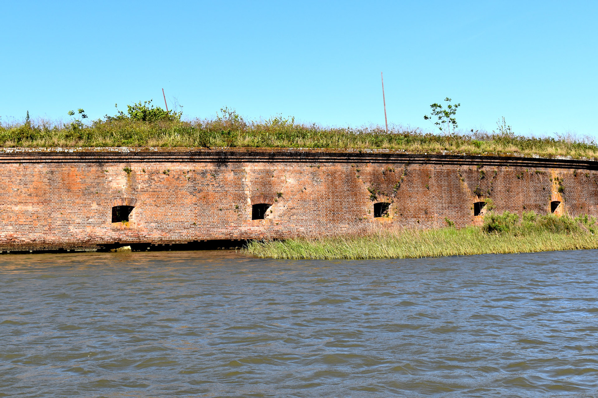
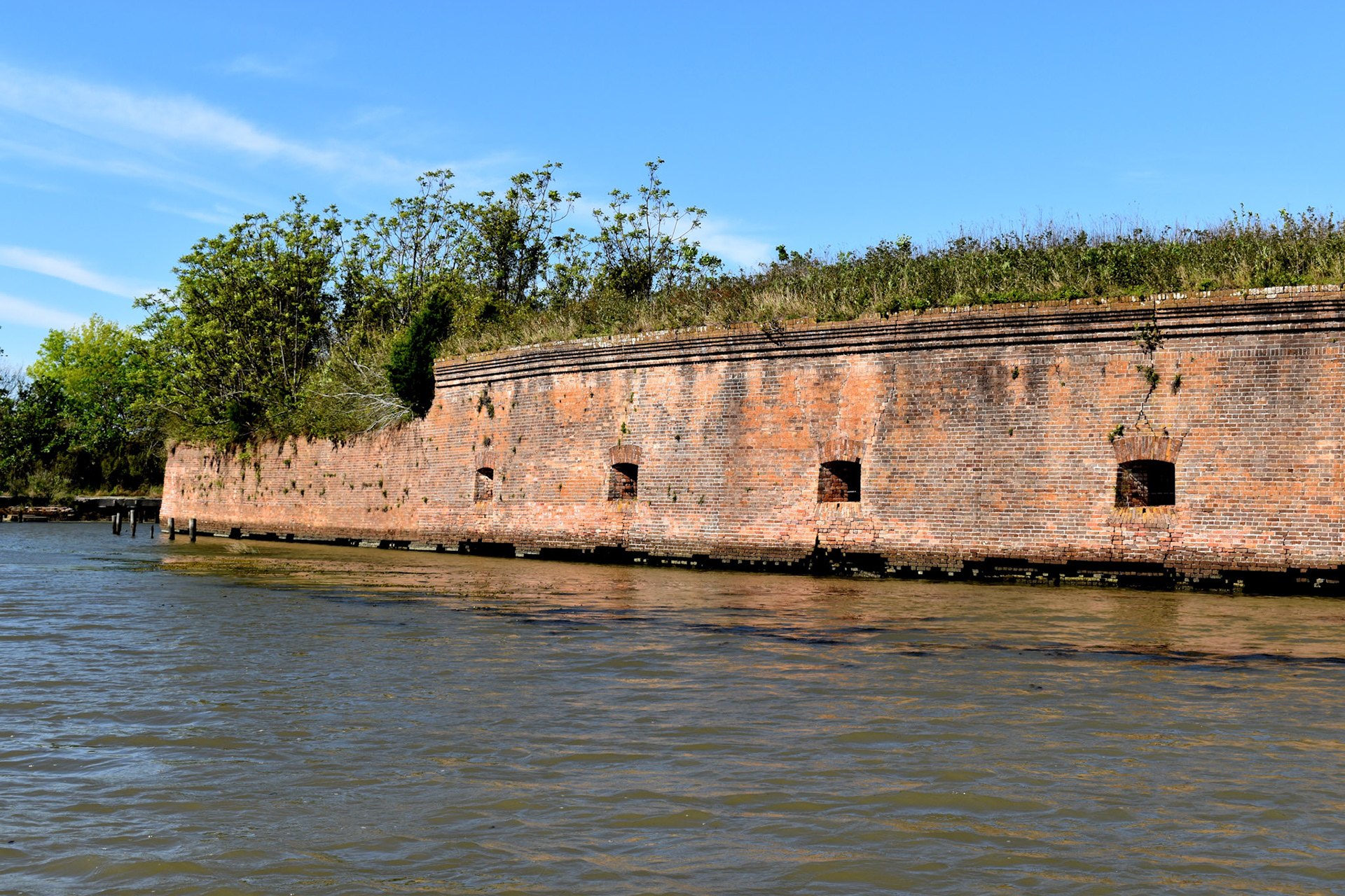
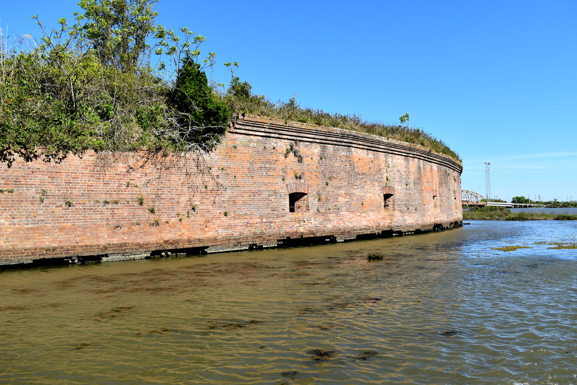
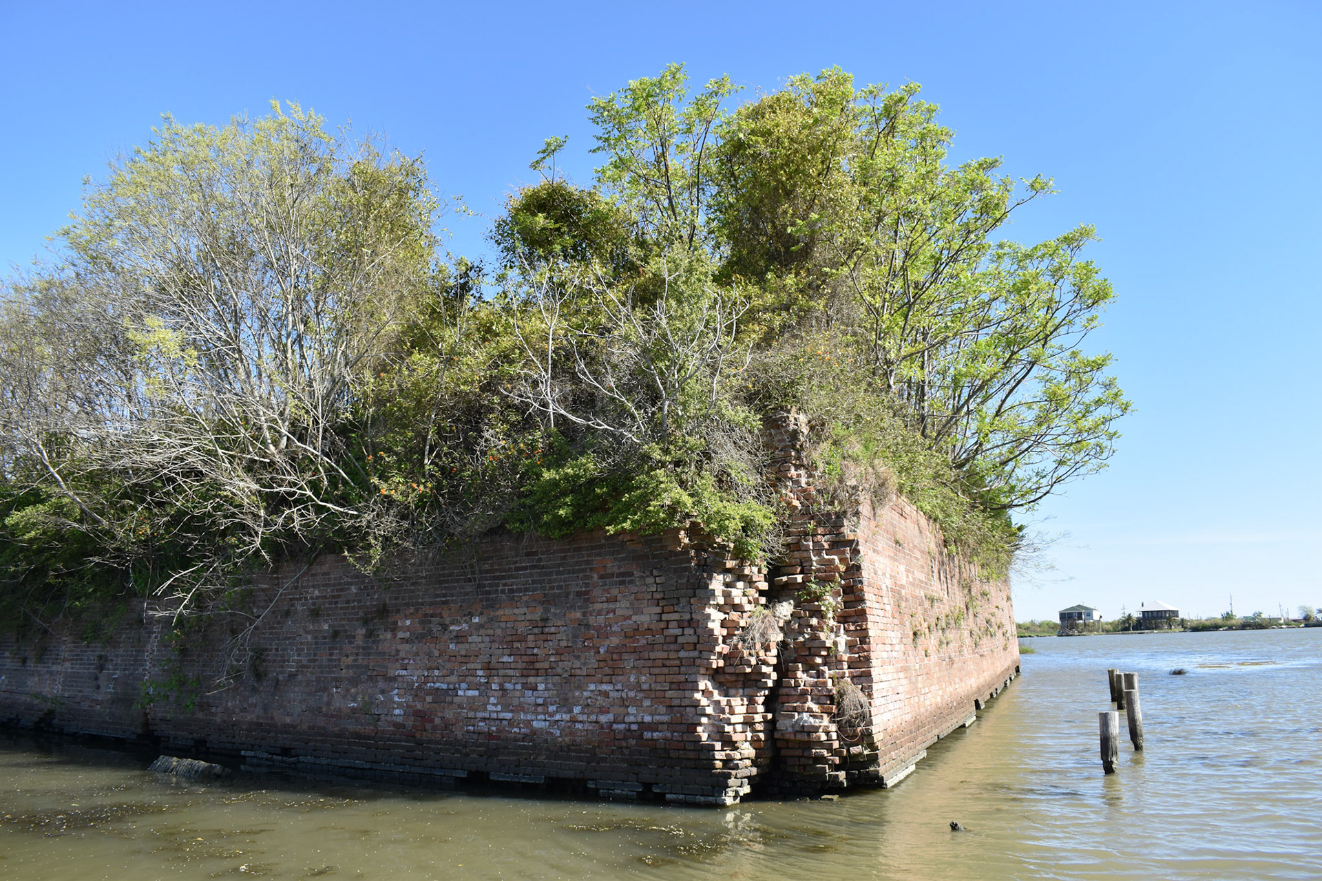
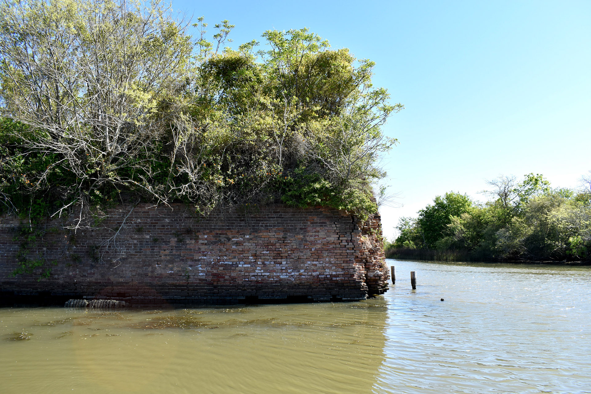
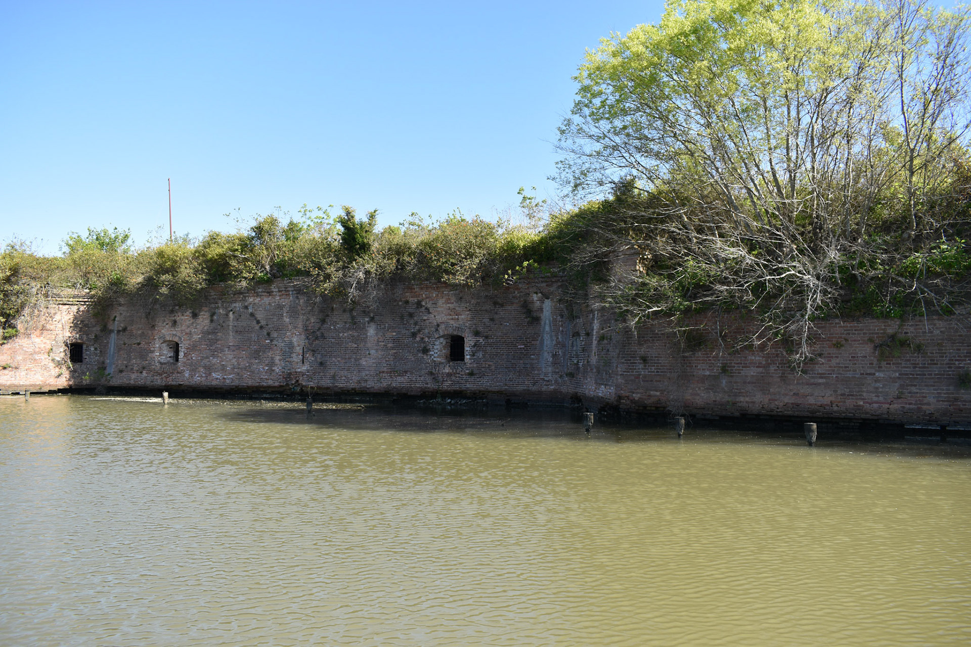
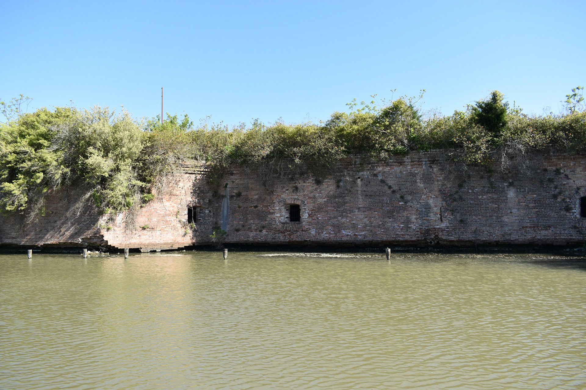
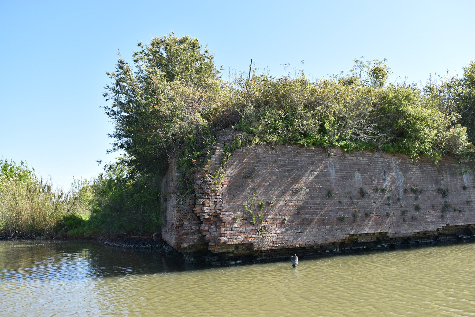
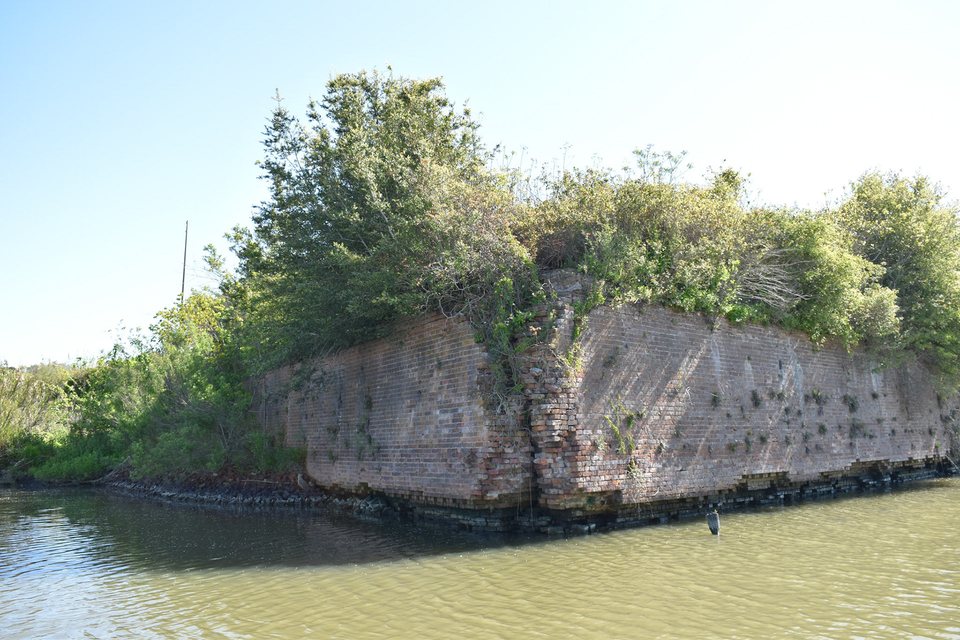
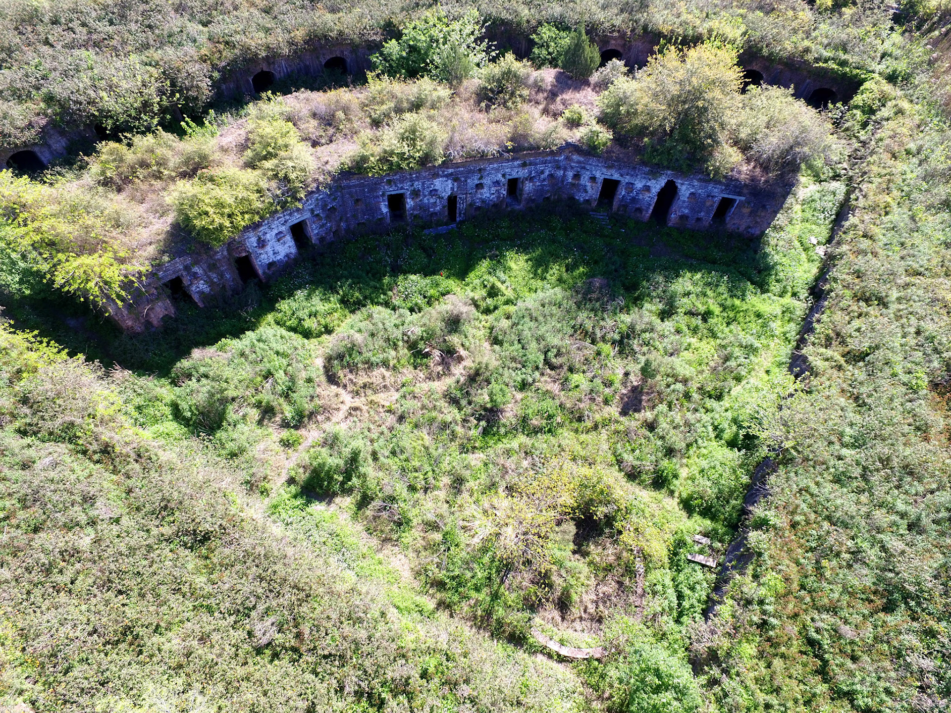
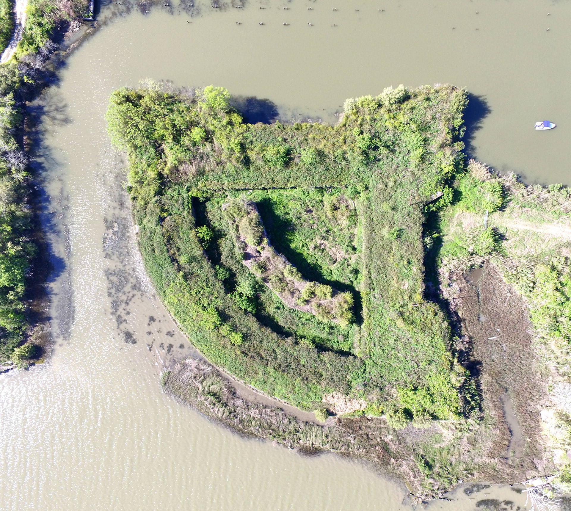
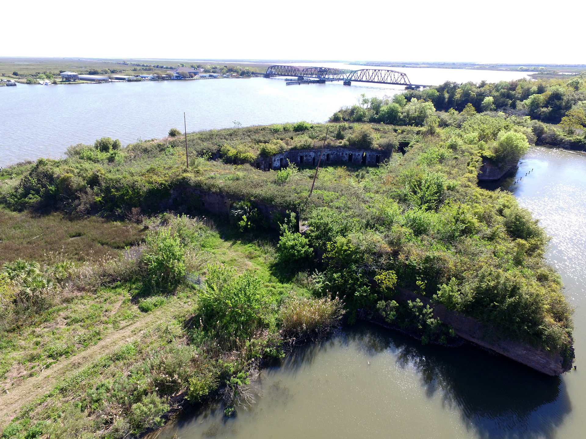
This fortification has a curved outer wall facing the river, overlapping the two side walls, forming what is know as demi-bastions. At the point of the two straight walls is a full bastion which faces landward. The fort was surrounded by a moat with extensive outworks in the channel. On the parade ground in the center lies a citadel, with a barracks attached.
A garrison from the Army of the Confederacy occupied the fort early in the War, however, 1862 the Union forces regained control of the fort following the occupation of New Orleans.
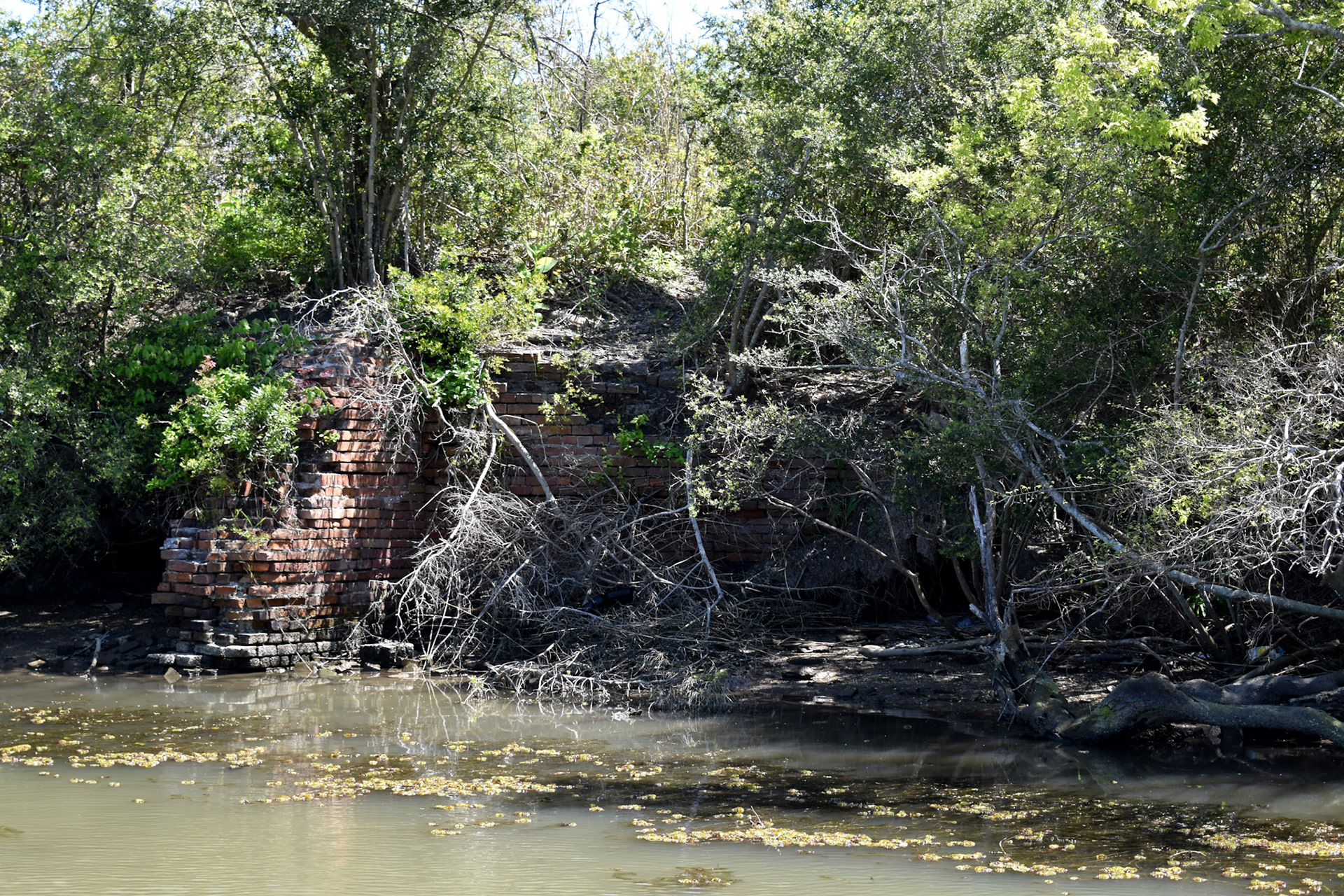
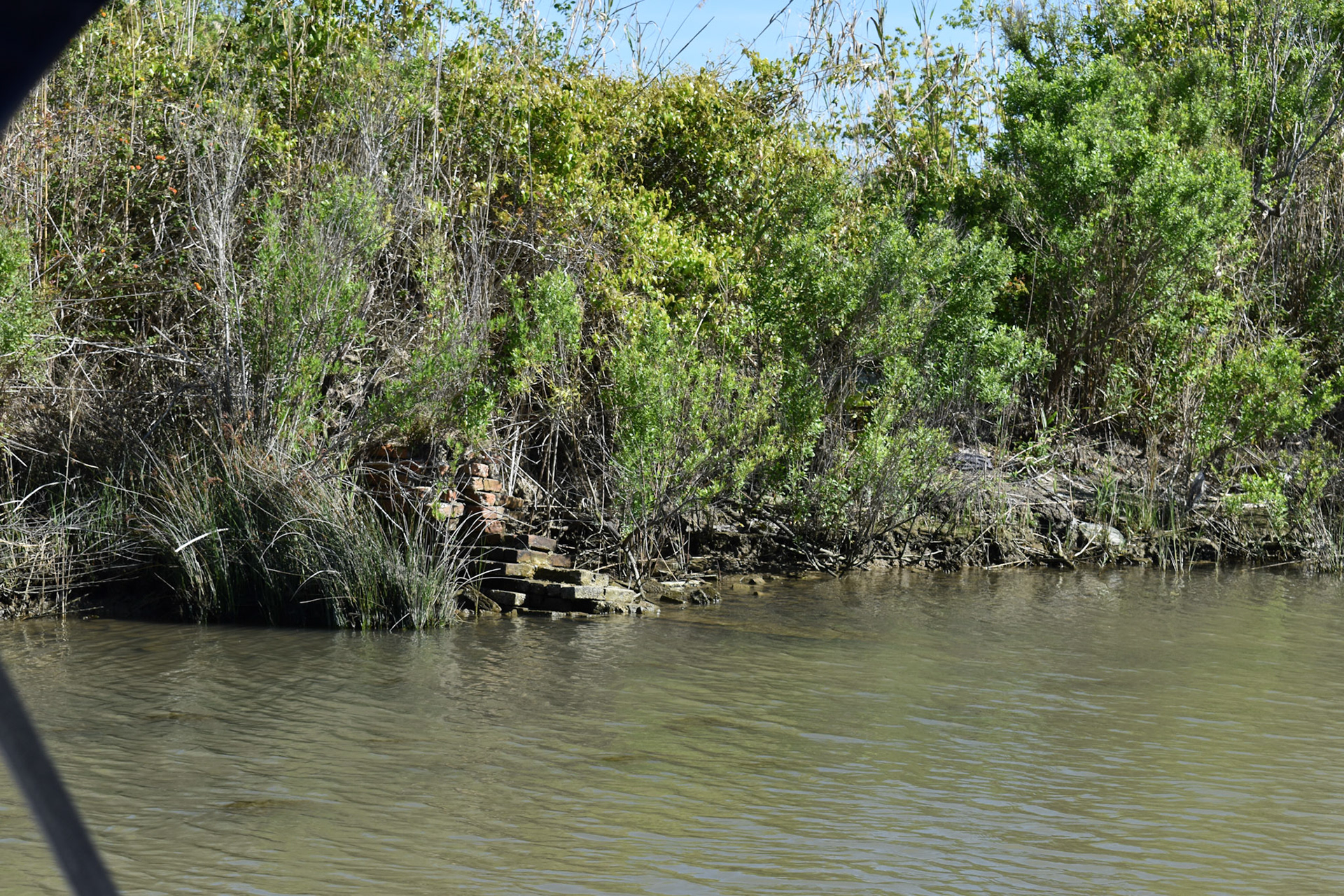
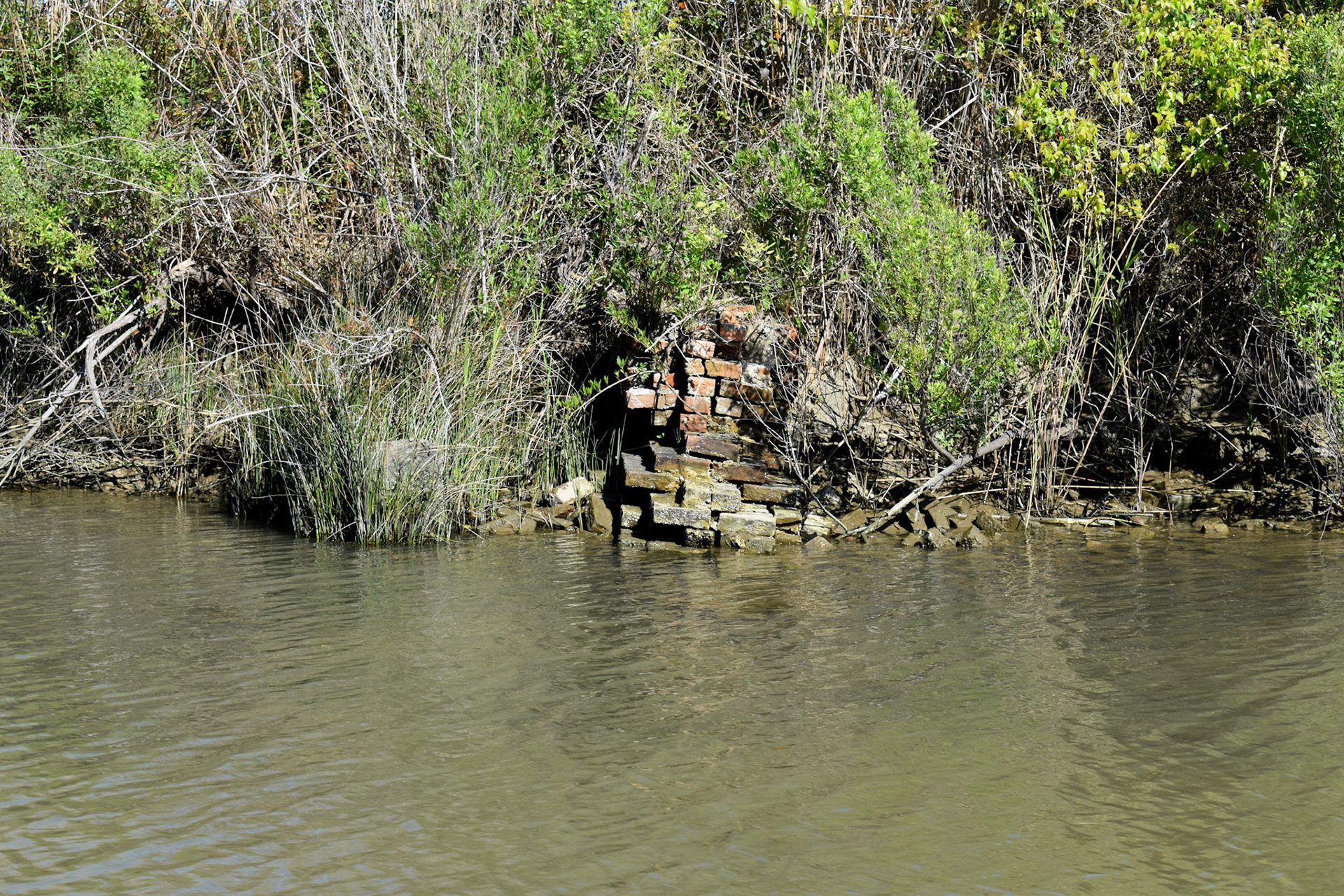
In 1867 the barracks burned, and the fort was abandoned by the U.S. Army. It was decommissioned in 1871.
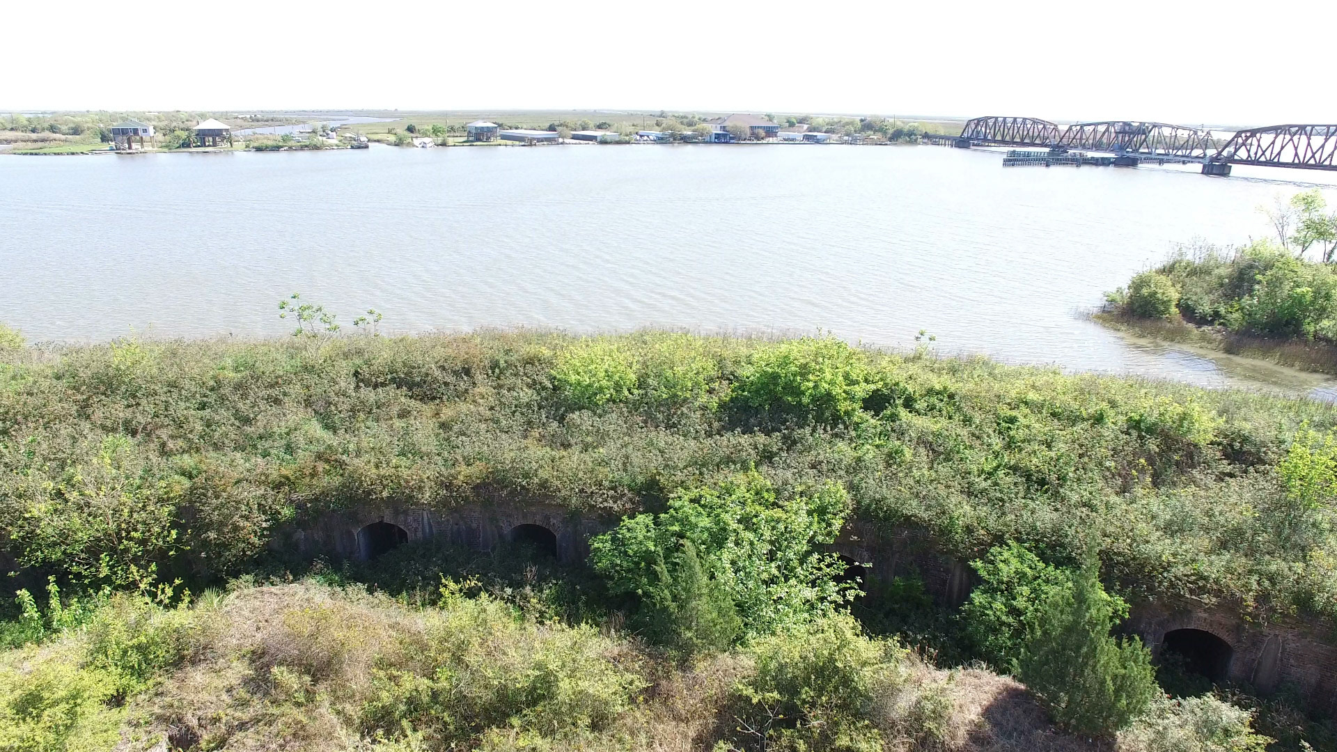
Chef Menteur Pass is a deep water route from the Gulf of Mexico into Lake Pontchartrain and New Orleans. The other course described in the page covering Fort Pike is the Rigolets Pass; both straits connect Pontchartrain to the Gulf via Lake Borgne. An earlier fort existed at this location and was called Fort Chef Menteur.
Raw Overflight Footage can be Viewed at: https://www.youtube.com/watch?v=xC-YvMfD3L4
DCIM\100MEDIA\DJI_0003.JPG
DCIM\100MEDIA\DJI_0005.JPG
DCIM\100MEDIA\DJI_0006.JPG